|
After
a final steep pitch, we arrived at the small summit clearing,
which was dominated by the steel framed observation tower. This
tower replaced the former enclosed firetower in the seventies,
which I think was being used too often as a shelter by backpackers.
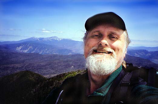
We arrived at the summit in better time than I had expected, especially
considering that I was a bit out of shape.
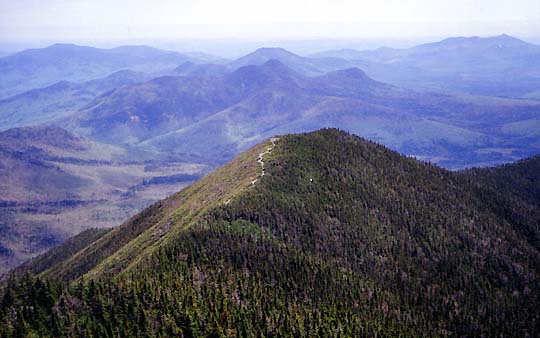
We
climbed the wooden steps of the tower to take in the views, which
were magnificent in all directions.
The sky was a deep blue and the weather was near perfect, especially
considering that it was raining back home in Massachusetts.
To
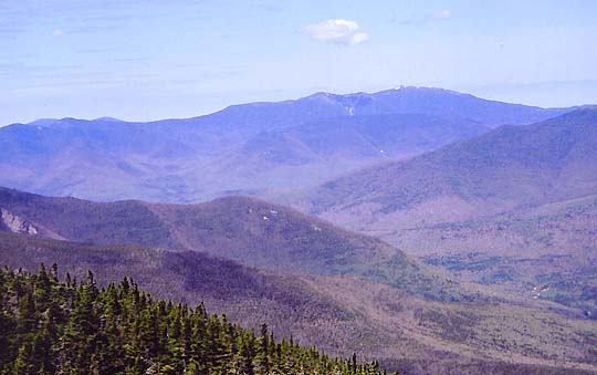
the northeast, I could clearly see Mt Washington and the Presidentials.
To the west loomed the entire Franconia Ridge from Mt Lafayette
to Mt Flume. In front of that, almost blending in to the background
was Owl's Head, followed by the Bonds ridge tapering off into
the Pemigewasset Wilderness. Closer by, I could pick out North
and South Hancock and their long undulating connecting ridge.
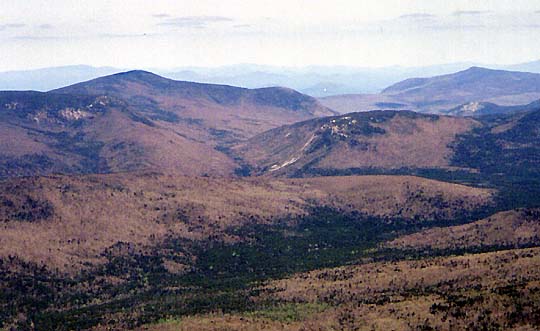
To
the north were Mt Hale, Zeacliff, and Zealand Notch. The view
of Mt Carrigain from
Zealand Falls Hut through Zealand Notch is unforgettable,
but Zealand Notch is nearly lost in the mountain vastness from
the top of Mt Carrigain.
We
set in a corner at the top of the tower, enjoying the warm sun,
lunch, and the views for longer than I had planned. Gray jays
lazily landed on the platform looking for handouts. Not long before
we were ready to leave, a couple from Maine arrived at the summit.
They were also peakbaggers, and hoped to finish this summer. We
collaborated for a while, trying to identify all of the peaks
and features that surrounded us.
Except
for one fall in which I sustained a small cut on my hand, the
hike down went well. We saw a couple of other hikers, but mostly
the woods and trail were quiet and soothing. |
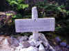
Trail
sign at the summit. We arrived at the summit in better time than
I had expected, especially considering that I was a bit out of
shape. |
 |