|
Leaving
the clearing, we continued up the ridge over a small knoll, then
dropped down out of the scrub to the narrow open ridge, which
had great views to the east and west. The two knobs of Mt Carrigain's
summit cone loomed to the north with the skeleton-like structure
of the observation tower clearly visible.
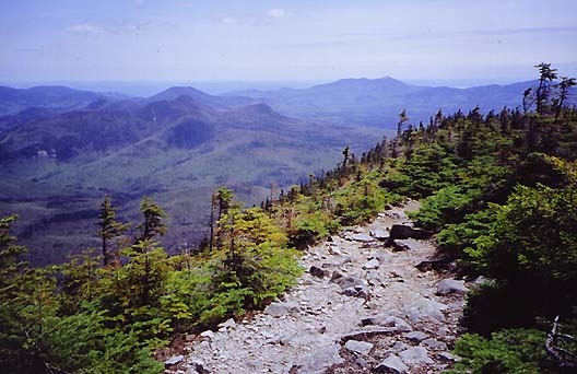
The
ridge dropped off precipitously toward Carrigain Notch. Six-inch
high scrub covered the slope for quite some distance before the
grade leveled off and the trees once again took hold. I particularly
enjoyed this short ridge section. It was like a mini version of
Franconia Ridge between Little Haystack and Mt Lafayette, giving
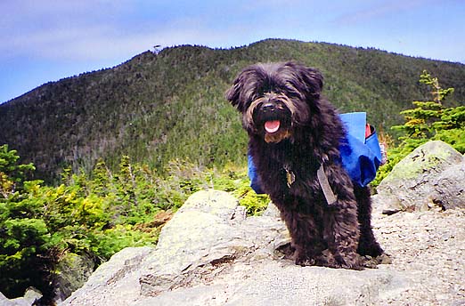
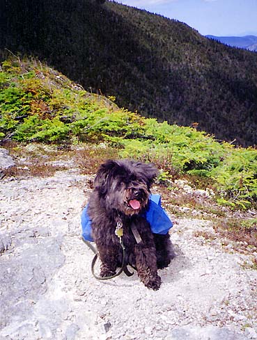
that same exposed but majestic feeling. Muffin, however, did not
seem overly anxious to have her picture taken near the edge of
the dropoff.
Beyond
this short exposed section, the trail descended moderately into
the woods to a shallow col before beginning its climb of the summit
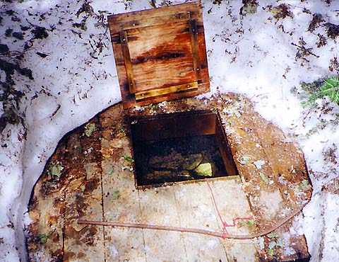
cone. There was a large fairly flat area in the col where the
firewarden's cabin probably used to stand. Nearby, in the deep
shade and still surrounded by decaying snow, was an old stone
well, now fitted with a wooden cover and lid to keep out debris.
The well had a rope and bucket with which to retrieve water, but
the White Mountain Guide cautioned that you still needed
to treat or filter it to be safe. We weren't running low on water,
so I closed the lid and we continued on our way.
The
trail climbed slowly out of the col at first, seemingly headed
away from the summit, but actually circling around to make its
final approach from the west. |
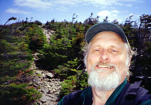
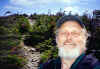
Me
on Signal Ridge. Behind me, the trail winds south through the
scrub over a small knoll. |
|