|
The
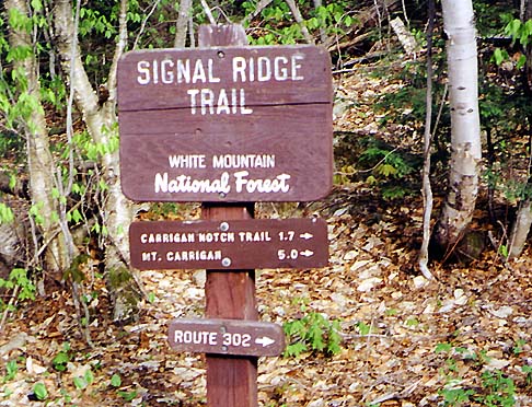
drive up to the Signal Ridge Trailhead went more quickly than
I had expected. As usual, Muffin and I left early (about 4:15
AM) and made it to Lincoln around 6:30. The Kancamagus Highway
was as deserted as I've ever seen, and Bear Notch Rd provided
a quick and scenic shortcut to Rt 302 in Bartlett. After passing
through an area of construction, I located Sawyer River Rd, which
had recently re-opened after being closed all winter.
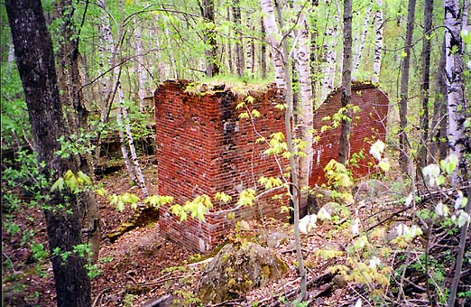
About
a mile and a half up this gravel road, I passed the site of the
deserted village of Livermore, which had been a busy logging town
along the Sawyer River Railroad in the late 1800s and early 1900s.
There was one house left standing which seemed to be still in
use as a summer home, and nearby were a few ruins of buildings.
Another half-mile up the road, I drove over a small bridge across
Whiteface Brook and parked in the empty trailhead lot.
The Signal
Ridge Trail starts off relatively flat, then soon crosses Whiteface
Brook near where a tributary joins it from the north. The water
wasn't overly high, but we still had to pick our way carefully
over the rocks and across a small island littered with deadfall.
On the other side, the trail followed the brook up an old logging
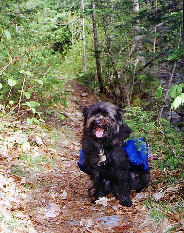
road, passing many small cascades. It had been a tough winter
for me; I hadn't gotten out to climb a White Mountain peak since
last September, and I was really ready for this hike. The sound
of the babbling water was peaceful and soothing.
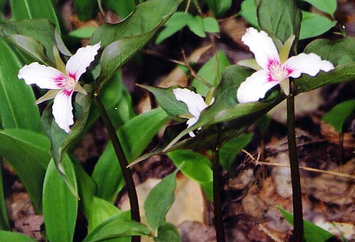
I
saw quite a few birds, mostly some kind of warblers. There were
also numerous spring flowers, including white trillium, growing
in bunches along the trail.
The
latest edition of the White Mountain Guide, which I had
just purchased a few days before, mentioned that we would be crossing
Carrigain Brook Rd (an old grassy logging road) at 1.4 miles.
It did look hikeable to the south, but was extremely overgrown
to the north. |
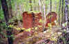
The
ruins of an old building in the deserted village of Livermore.
This logging town was abandoned after the Sawyer River Railroad
closed in the late 1930s. |
|