|
Beyond
the well, the trail continues moderately uphill through a deciduous forest
for about a mile-and-a-half. Then, as the
RMC's Randolph Paths guidebook says, there is definitely an
abrupt transition from deciduous to coniferous woods, and we
entered the fir/spruce forest after rounding a bend in
the trail where the trail begins angling northwest up the mountain. I
don't know why this transition is so sudden here. On most mountains, it's
much more gradual.
Thick
puffs of new snow clung to the boughs of the trees, threatening to shower
me as I walked by if I weren't attentive enough to where I was walking.
The trail was noticeably narrower here, and it was almost impossible not
to brush against their branches at least occasionally. Muffin, of course,
being a lot shorter, didn't have the same issue.
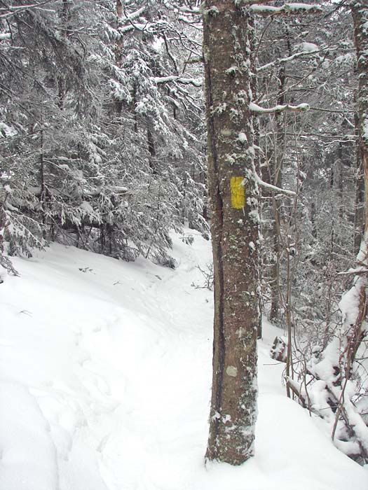
The Starr King Trail was well-marked with
bright yellow blazes, and the treadway was obvious enough that it was very
easy to follow. Unlike some trails in the winter (such as the A-Z Trail to
Mt Tom, or the Hancock Loop between North and South Hancock), I didn't
have to constantly think about which way I was going. We
just kept plodding onward and upward until we reached the summit of Mt
Starr King.
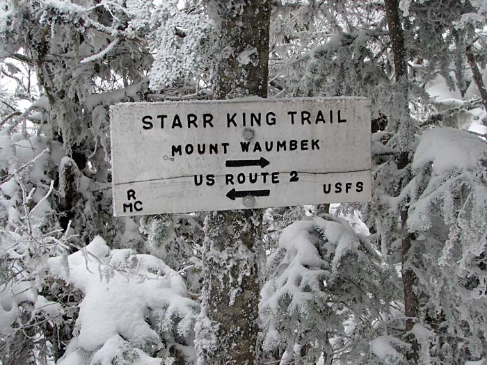
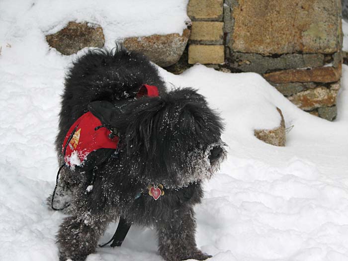
The actual summit is just a trail sign in the woods, pointing north to Mt
Waumbek, and south back to Route 2. But just a little further up, we
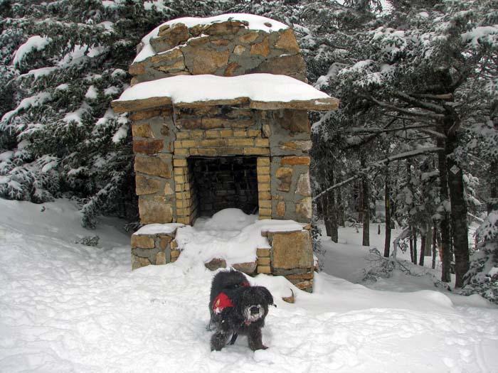
arrived at the clearing where there used to be a shelter until it burned
down sometime in the 1980s. The only thing left is a stone and yellow
brick fireplace, which, if nothing else, makes a nice flat spot to sit for
a while. I took Muffin's picture by the fireplace, and we stopped for a
snack and drink before continuing on to Mt Waumbek. |
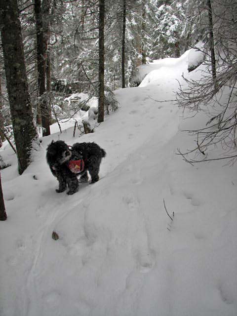
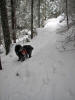
Muffin on the
Starr King Trail after we entered the fir/spruce forest. As the guidebook says,
there is definitely an abrupt transition from deciduous to
coniferous woods. |
 |