|
This was to be Muffin's last 4000-footer, and
I wanted to be sure to pick the best day for its success. I was scheduled
for surgery the following week which would keep me from taking any White
Mountain hikes for over a month, and I also wanted to get her application
in by March so she could participate in April's awards. In other words, we
had to succeed, or wait a year. Of course, Mt Waumbek is not one of those
peaks that often cause you to turn back, but it was winter in New England
so anything was possible.
At any rate, I picked February 1 as the best
day of the week weatherwise, both for the hike itself and for our chances
of having a safe drive up from and back to Massachusetts.
It had snowed a little the night before, and
when we got to the trailhead, I found that I couldn't get up Starr King
Road to the parking area as it was icy underneath the new snow. The
parking lot across Route 2 was also pretty snowy and downhill from the road,
and I didn't think I'd be able to drive back out of there again. Luckily,
the people at the Old Corner Store just down the street pointed out an
adjacent public parking area with room for several cars.
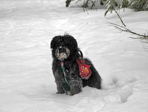
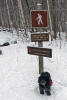
After walking a few tenths of a mile up the
road to the start of the trail, Muffin and I were officially underway.
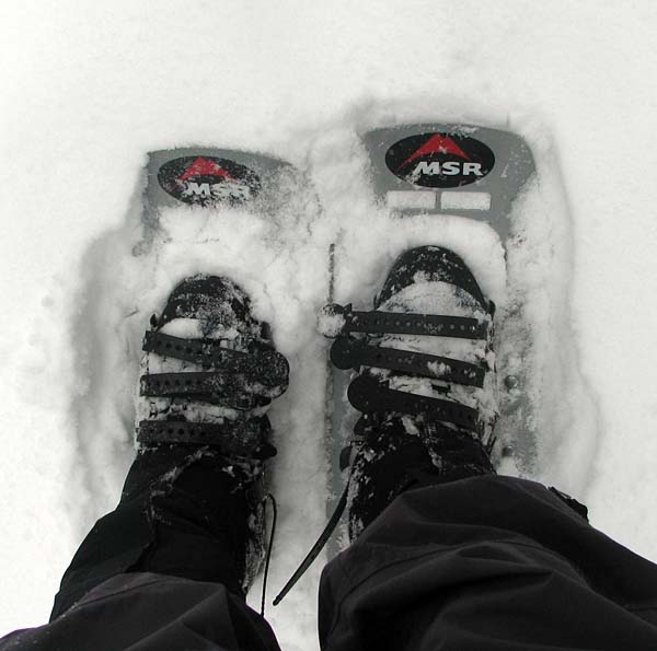
There was about an inch of new snow at the trailhead with decent hardpack
underneath, so travel was easy. I put on my snowshoes anyway, at least for
traction in icy spots. My snowshoes are MSR Denali Ascents. They provide
pretty good traction on steep icy ascents, although they're not quite as
steady when going downhill. I also have extension tails that I can add on
for more flotation in deeper powder, but I don't often use them.
About
a quarter mile up the trail, there's an old stone well that may have served a farm
or a pasture at one time. It seemed to be blocked off a couple of feet
down, and didn't seem dangerous if anyone accidentally fell in. |
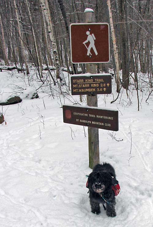
Muffin at the Starr
King Trailhead. On Starr King Road, there was a layer of ice underneath
the new snow, and I couldn't drive up to the trailhead
itself. I parked in a small public lot next to the Old Corner
Store on Rt 2
and we walked up. |
 |