|
It
was nice to get out climbing again. I hadn't been up to the White Mountains since late June, and it was my first hike up there since Muffin died in July at the age of 16. I thought of her as I walked along the trails we had climbed together way back in 1999 and 2000. She had been so young back then and still had many more years of hiking ahead of her. She completed her Four Thousand Footer list in January 2006, and pretty much retired from hard climbing in 2007 after suffering from a luxating patella (rear leg knee problem).
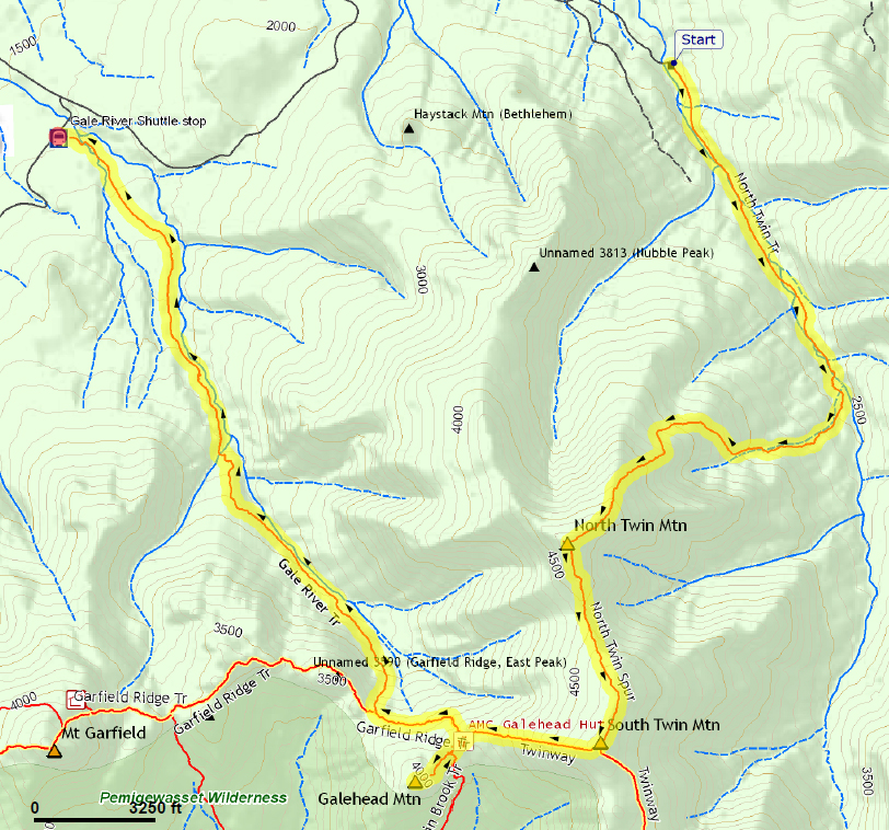
Since hiking the North Twin Trail last in 1999, a "well-beaten path along the river," as the White Mountain Guide described it, had all but replaced the lowest portion of the trail, including two crossings of the Little River. The new alternative does avoid the potentially hazardous crossings, but is much rougher than the original route, and still passes through some wet and muddy areas.
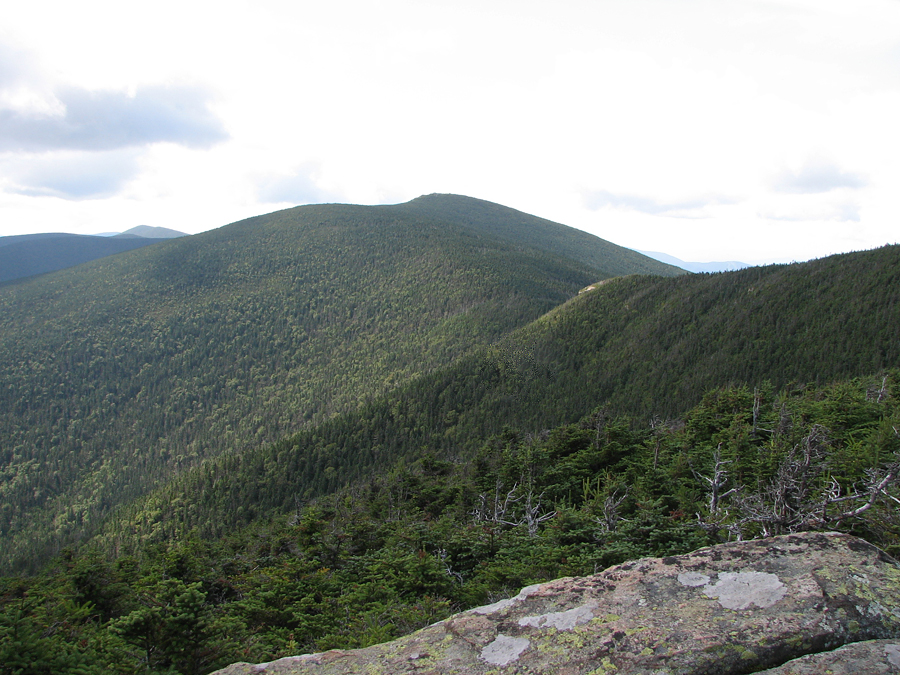
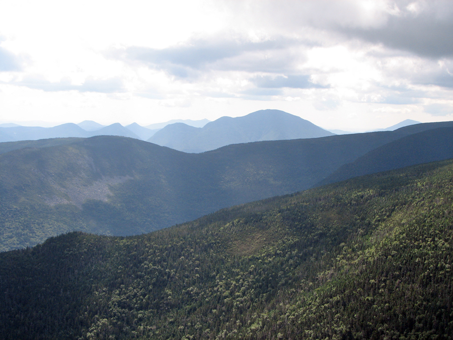
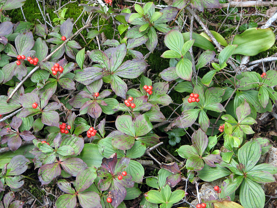
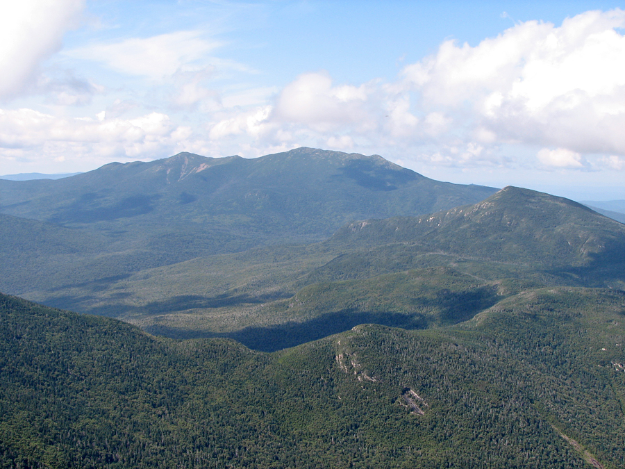
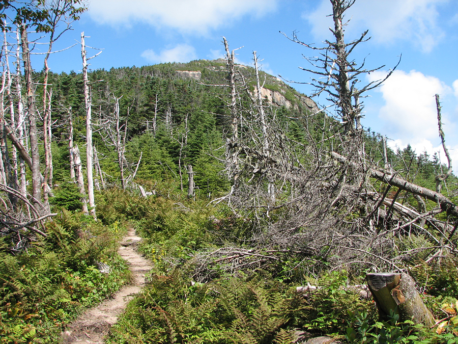
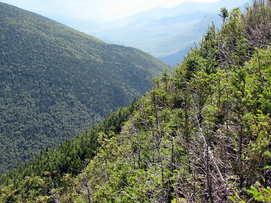
After rejoining the true trail and making the final crossing of the Little River, the trail quickly became quite steep, not really moderating until reaching a long stretch of open ridge below the summit of North Twin. There were numerous excellent views from the ridge. The view back to North and Middle Sugarloaf was particularly interesting, as their bare whitish summits really did look a bit like old-fashioned loaves of sugar from above. This was a very pleasant and relaxing stretch of trail, and I stopped often to take pictures of the scenery and a group of ripe bunchberries growing alongside the trail.
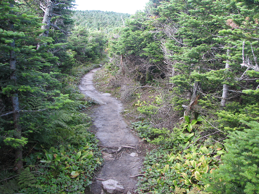
The final approach to the North Twin summit was more or less anticlimatic, the ascent from the ridge being rather gentle. The wooded summit area was much as I remembered it, as was the western outlook down a side path, which held expansive views of the western Pemigewasset Wilderness, including Franconia Ridge and Mt Garfield. Looking down to Galehead Mtn and Hut was particularly impressive, especially since I knew that I'd be down there in a couple of hours or so, and also because I was the only one there at the time.
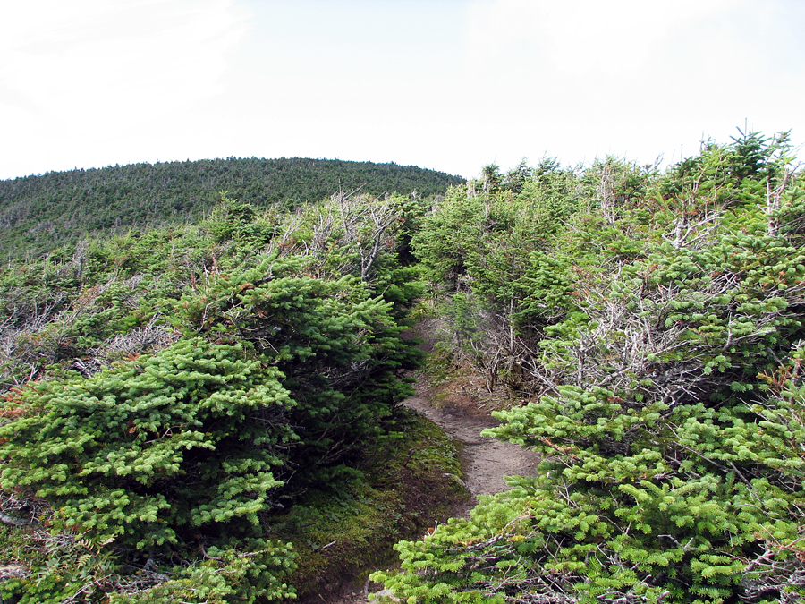
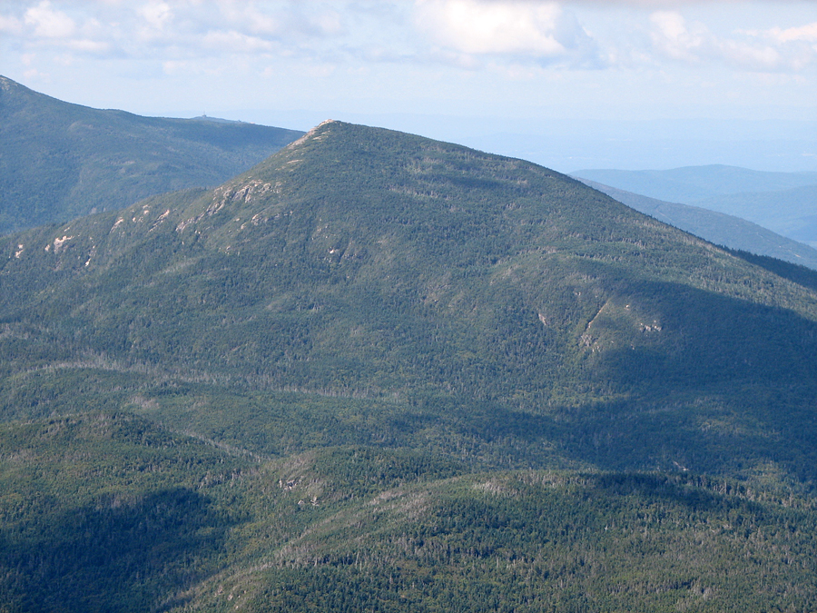
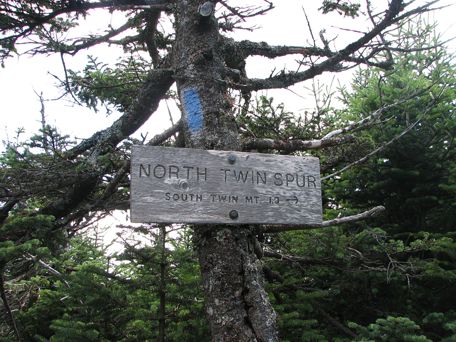
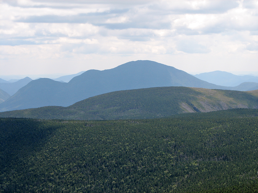
It was getting near lunchtime, but I decided to push on to South Twin before stopping to rest and eat. It's only about an hour's hike between the two peaks, and most of the way along the North Twin Spur is fairly gentle as it passes through a col. After taking a picture of the North Twin Spur trail sign, I headed down. The trail descends somewhat steeply at first, but soon moderates. At the bottom, in the col, in an area of what appeared to be a fir wave, I stopped to take a picture back up to North Twin. Fir waves are bands of dead and dying fir trees that slowly, over the course of many years, spread downwind on exposed mountain slopes. New trees fill in on the upwind side as the old ones die; thus the waves continue spreading even as they regenerate behind themselves.
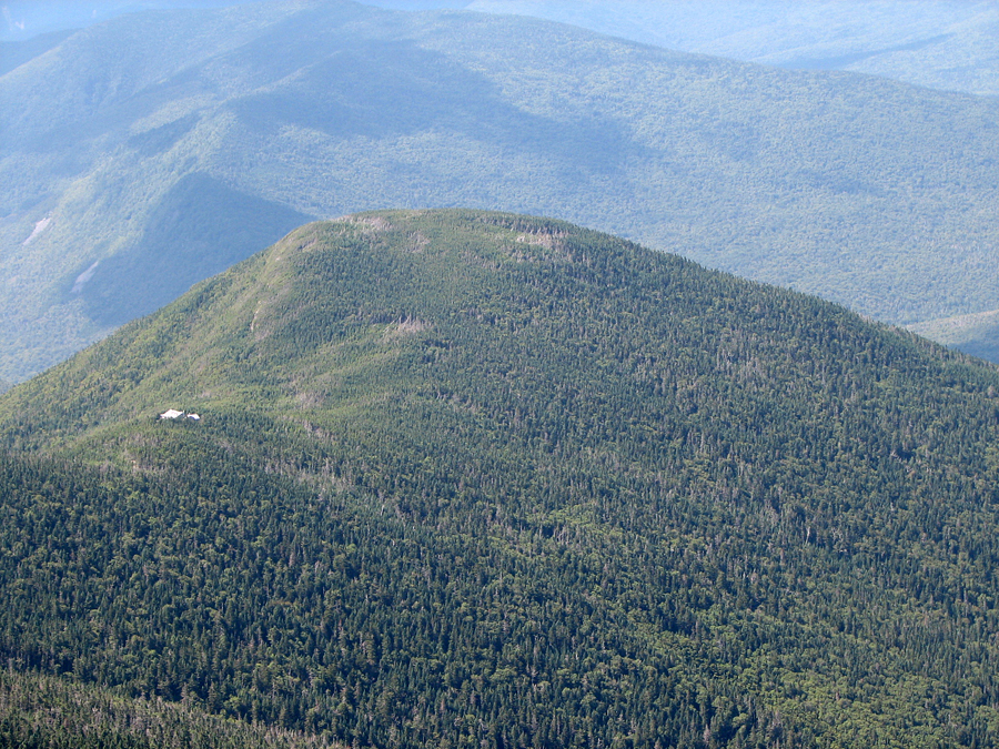
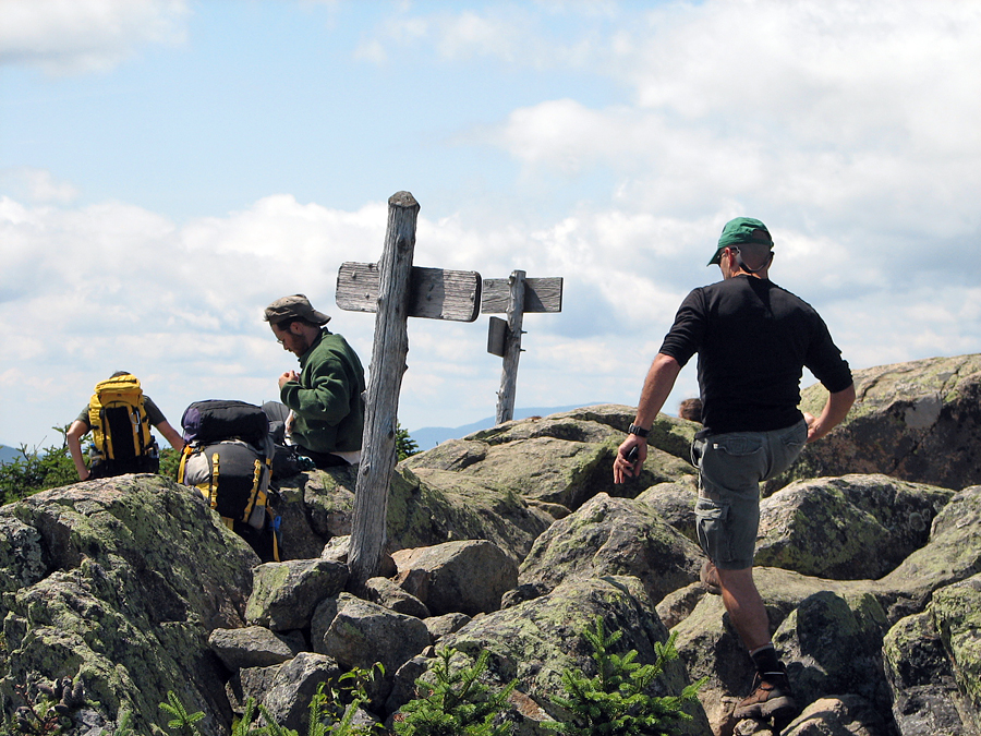
In contrast to North Twin, the summit of South Twin was rather crowded. A couple of hikers had preceded me from North Twin, but most of the people on top had come up from Galehead Hut, including one group of college-age teens/young adults. I found a reasonably comfortable rock to rest on, took off my pack, and had lunch (a power bar and some Pringles, washed down with swigs of Gatorade - I generally don't eat a lot when hiking). The views from here were more extensive, as South Twin is entirely above treeline and commands a near 360-degree view of the Bonds, Franconia Ridge, and Mt Garfield. Unfortunately, Galehead Hut is hidden from view behind the western slope of the mountain.
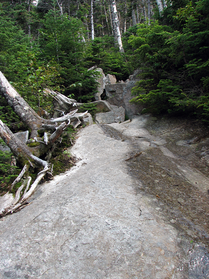
After spending a half hour or so enjoying the sun and vistas, I put my pack back on and headed down the steep trail toward Galehead Hut. Between the hut and the South Twin summit, the Twinway is relentlessly steep, climbing just over 1150 ft in 8/10 of a mile. Going down often required careful footing, especially closer to the hut where you have to pick your way over and between huge boulders. When Muffin and I descended this section back in 1999, I remember having to help lift her over some of the larger gaps between boulders.
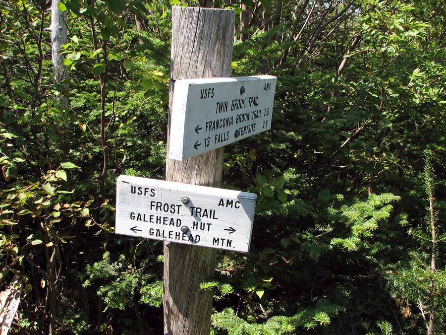
Inside Galehead Hut, I rested for a few minutes, also refilling my water bottles and buying a hut tee-shirt from one the croo. When I was ready to climb Galehead Mtn, I left my pack in a corner of the hut to lighten my load. The climb up to the top on the Frost Trail from the hut is relatively short with only about 300 ft of elevation gain. It's also just a simple round trip as there are no other trails leading down from the summit. Most hikers likely leave their packs behind for this climb.
There aren't any great views from the wooded summit of Galehead Mtn, just a limited perspective through the trees toward Mt Garfield. Galehead is pretty much a mountain that one climbs just to add to a peakbagging list, or simply because "it's there" and isn't a lot of effort once you've already made it up to the hut.
The hike back down the Garfield Ridge and Gale River Trails was, as usual, longer than I remembered. For some reason, I always expect the hut to be a lot closer to the Gale River Trail junction than it is. Finally back down at the trailhead, I was, as I had known all afternoon, way too late to catch the AMC Shuttle for a ride back to the North Twin Trailhead, and I didn't really feel like walking the long and circuitous route over forest roads back to my car. Luckily, I had cell phone reception, so I called the Shuttle Connecton in Franconia for a ride. I had to wait a while for them to get there, but it was definitely worth the way after a long day in the mountains.. |
North Twin Trail. The lower portion of this trail crosses back and forth over Little River, but a well-used beaten path makes it possible to avoid two of the crossings |
|