|
Eventually,
the long straight segment of the trail finally came to an end, as what had
once been a logging road gave way to a narrower and somewhat steeper
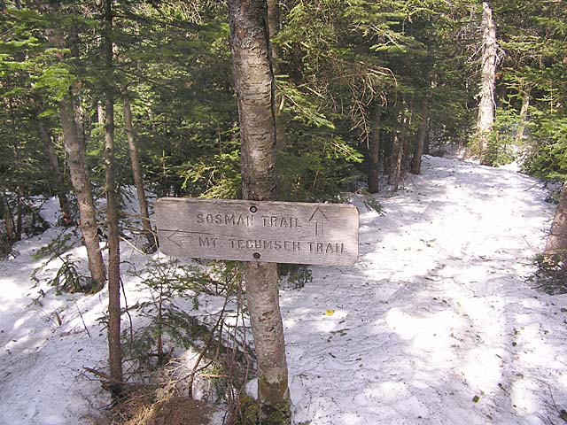
section. A short distance later, we arrived at the Sosman Trail junction
on top of the ridge that connects Mt Tecumseh to the top of the ski area.
The
Sosman Trail follows a short fairly level stretch north until the trail
splits into two branches. Here, the Sosman Trail veers to the left to
climb the west side of the summit cone, while the Mt Tecumseh Trail bends
to the right to ascend the steeper east side. Muffin and I chose to take
the Sosman Trail, which is more heavily travelled and thus would tend to
have firmer, more trampled snow.
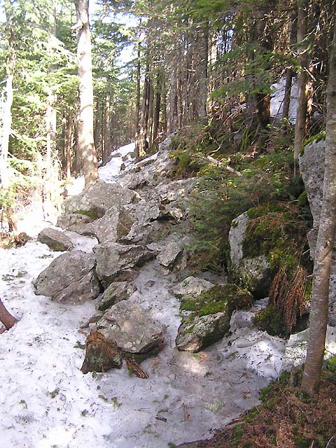
The
trail climbed by switchbacks, with alternating steeper and more level
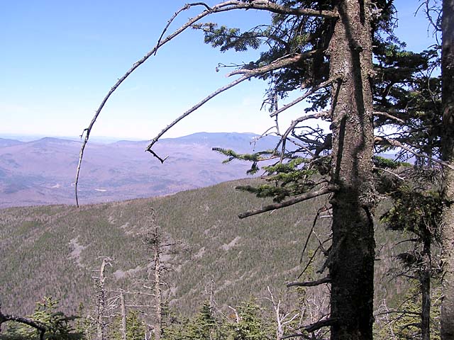
sections. Just before the final approach to the summit, there's a view off
to the northwest where I could see Mt Moosilauke's broad snowy crown.
Unfortunately, the photo I took doesn't really do
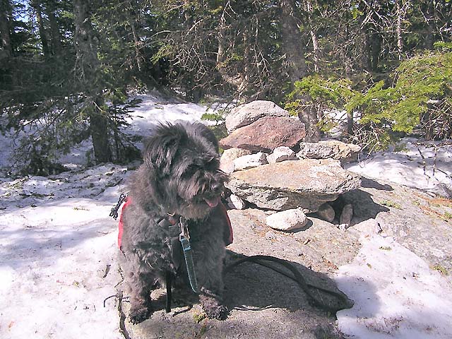
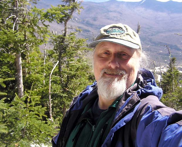
it justice. After
reaching the top, Muffin and I sat down on some bare rocks next to the
summit cairn. I had some potato sticks and a power bar, while Muffin had a
small can of dog food. The brand she eats on the trail is Cesar. It's
moist dog food that comes in a small 3.5-oz plastic container with a
tear-off foil lid. It's perfect for when we're hiking because, unlike the
dry dog food she eats at home, she gobbles it all down quickly, it doesn't
weigh much, and the empty plastic container can be used as a small water
dish. It also fits well in Muffin's little pack. Of course, it wouldn't be
enough for large dogs to eat, but Muffin is only 20 lbs. Two of these,
plus snacks, is enough for her each day.
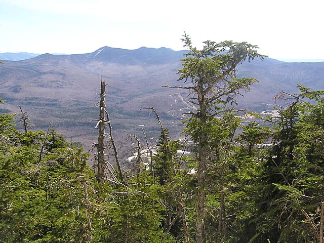
To
the east of the summit, a blowdown patch gave a somewhat restricted, but
decent view to the Tripyramids and down to Waterville Valley below.
There's another better view a short ways down the Mt Tecumseh Trail, but I
was enjoying lazing in the sun, and Muffin didn't seem to mind resting for
a while either.
|
Sosman
Trail junction. At the top of the ridge connecting Mt Tecumseh to
the top of the ski area, the Mt Tecumseh Trail joins the Sosman
Trail. |
|