|
After driving up
early in the morning as usual, I parked the car at the Waterville Valley Ski Area and
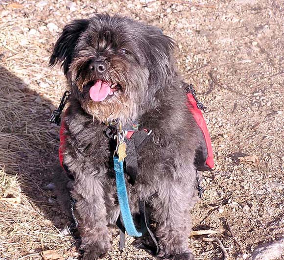
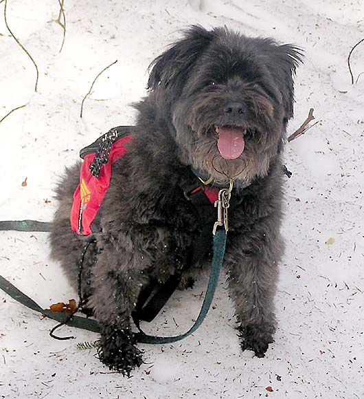
Muffin and I started up the Mt Tecumseh Trail at
about
7:20 AM. The
day began clear and relatively warm, with the promise of clear skies and
temperatures climbing into the 60s. There was no snow on the
ground at the trailhead.
Just
after the trail sign, we crossed over a small brook and continued up the south
bank of Tecumseh Brook. Remembering that I had followed a false trail well beyond an
obscurely-marked brook crossing the last time I came this way, I kept my eyes
wide open, watching carefully for the right spot. Not too far up the trail, I
found it without a problem, and we crossed to the north side. The trail
then began angling up the
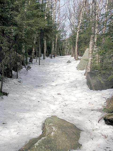
steep bank, soon becoming
boulder-covered and rough. It wasn't long before snow began to cover most
of the trail, even though the woods were relatively clear.
By
the time the trail dropped steeply down some steps back to
the brook and climbed back up the other side, the snow pretty much covered
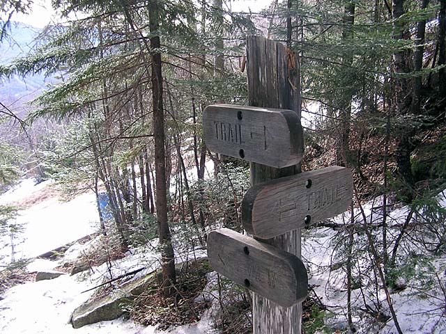
everything. At the view sign, where the trail
comes very close to one of the ski slopes, we took a slight detour to
enjoy the view east to
the Tripyramids.
I
sat down on a large water pipe at the edge of the woods for a short rest and snack,
and then we climbed back to the view sign and continued up
the trail. From here, the trail follows a fairly straight path along the
south side of the brook at moderate and even grade. Many hikers probably
find this section of the trail monotonous, as it seemingly goes on and on
with few noticeable changes in scenery. I know I found it that way last
time I climbed Mt Tecumseh.
This
time, however, I must have been in a different frame of mind, and I
enjoyed the steady progress we were making. My altimeter was big help, or
course, because I could measure the elevation gain we were making.
|
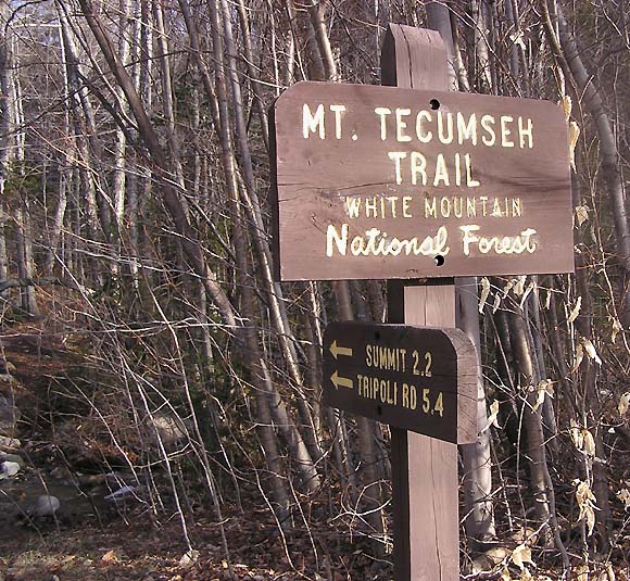
Trailhead.
The Mt Tecumseh Trail begins at the Waterville Valley ski area
parking lot, a short distance from the ski lodge. |

|