|
While
stopping to rest at one of the steeper sections, a few hikers caught up to
us. Two of them turned out to be Dave Metsky and Brenda, whom I recognized from their pictures and
trip reports on the Hike the Whites
website. We continued up the steep trail, expecting to
attain the ridge at any time. The others were faster than us and went on
ahead.
Soon
we came to the flat ridge, passed the Sosman Trail sign, and arrived at a
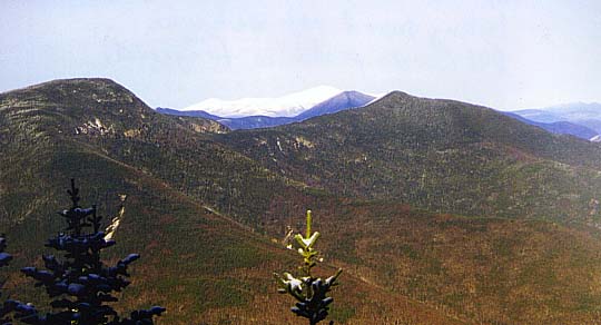
lookout to the northeast. The trees were in the way and we could see only
a little. After continuing, we came to a point where the trail split into
a loop. We had been warned by two other groups going down that we should take
the left-hand loop, because the right-hand loop was steeper. We turned left,
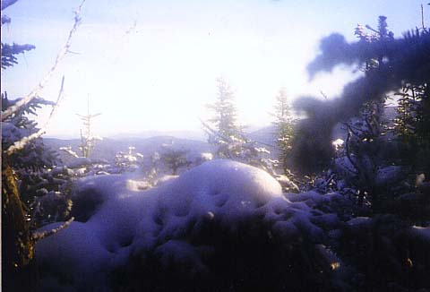
and soon came to a spot where we could see off to the west.
The
trail here climbed by switchbacks and we quickly reached the summit. Dave
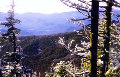
Metsky and Brenda, along with two other climbers, were still there. Off to the
east we could see the bottom of the ski area and the Tripyramids over the
trees. There were several Gray Jays looking for handouts in the summit
clearing.
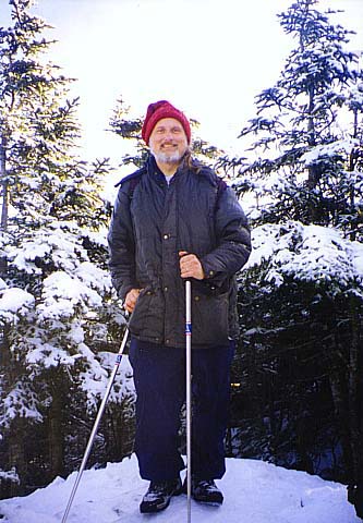
Dave
showed me a ledge just below the summit with much better views,
and was nice enough to point out Mts
Washington, Osceola, Carrigain,
and others.
After
everyone else left, we returned to the summit. There were signs for the
various trails. The Mt Tecumseh Trail actually continues down the other
side of the mountain, ending up at Tripoli Rd, but that would take us
miles from our car. We decided to go back down the other portion of the
loop, which was quite a bit longer and steeper as the others had said.
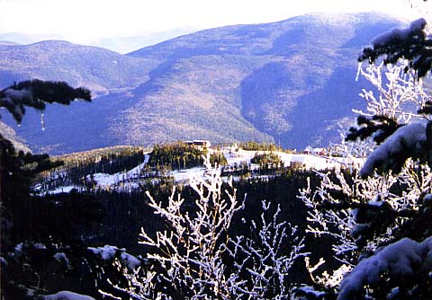
Partway down the right-hand loop, we could see the top of Waterville
Valley Ski Area.
Back
at the junction of the loop again, we continued along the ridge. At this
point, we could have taken the Sosman Trail to the ski area, then went
down the ski trails, but we decided to go back the same way. Because of
the packed snow, and fact that we had each brought two ski poles, the trip
down went quickly. It only took us 65 minutes from the summit to the car.
We stopped in the ski lodge to look around for a few minutes, then left
for home.
|
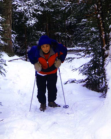
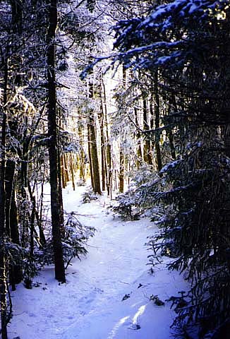
Erin
struggling up a steeper section of the trail. Up higher, the snow got deeper, and
the spruce trees were coated with snow. Winter had come to the mountains. |
 |