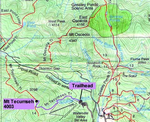
|
The
day began clear and cold. There was about an inch of fresh snow on the
ground at the base, which got deeper as we went higher. I think the summit
had just under a foot of snow, but both the trail and summit were
well-packed. After driving up the morning after the sleepover party for
Holly's 13th birthday, I parked the car at the Waterville Valley Ski Area and
Erin and I started up the Mt Tecumseh Trail at 10:40 AM.
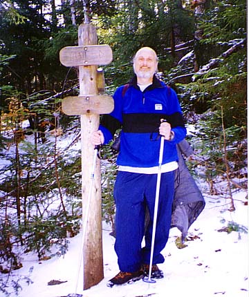
The
trail began by crossing the
brook, and we continued up the south side of the brook, following the footprints of those
before us. There were some, but not many, yellow blazes on trees. After a
while, the trail got narrower and narrower, wound through the trees, and
we were soon bushwhacking. I soon figured we were going the wrong way, so
we turned around and looked again for the yellow blazes. We found a stream
crossing that we had missed, crossed it, and continued on the real trail.
This mistake cost us about a half hour. We learned later that others had
done the same thing.
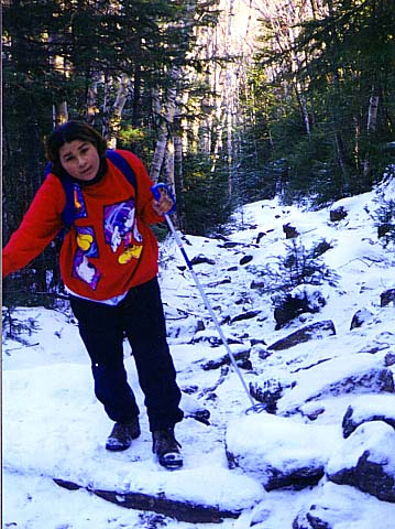
After
crossing the brook, the trail climbed a ridge and soon became
boulder-covered and rough. Then, it dropped steeply down some steps back to
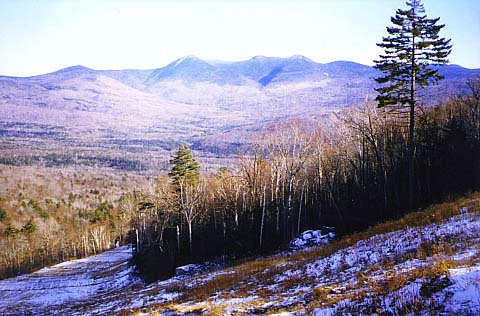
the brook and climbed up the other side. On a side trail leading to a ski trail, we could see the
Tripyramids
in the east.
Soon,
we started to hear a bell ringing every few seconds. It sounded like a
phone in the woods, but it turned out to be a signal at the bottom of one
of the ski area’s upper chairlifts. The upper part of the mountain had
snow for skiing, but the lower part wasn’t open yet. The trail soon
became wider and continued steadily up the side of the
gorge.
We
stopped to eat lunch around 12:30, then continued on. After awhile, the
trail got quite a bit steeper and narrower, the snow became deeper, and
the spruce trees were coated with snow.
|