|
Considering that Middle Sugarloaf is only a
little over 2500 ft tall, I was surprised that it was quite windy on
top. After the relative warmth of the sheltering woods below, I had to
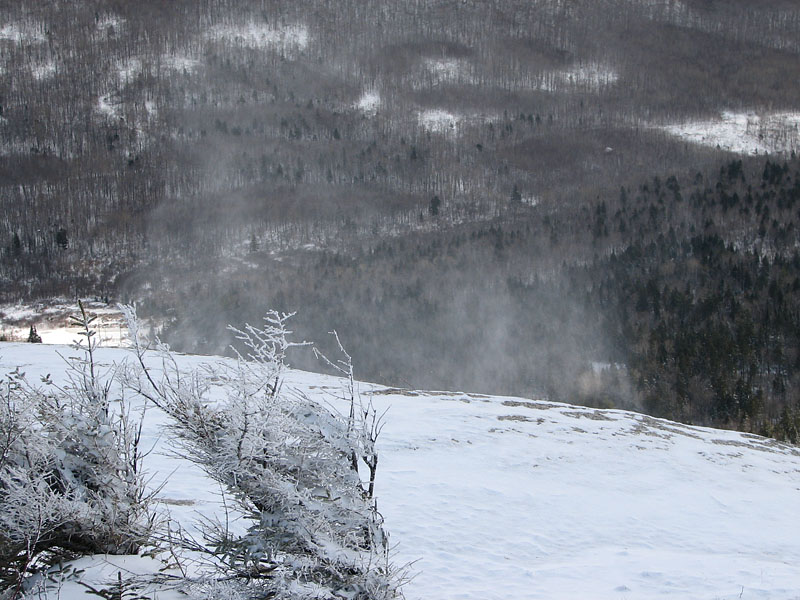
put on my balaclava and pull my hood over it to keep warm. The open
summit area faced the south, and the wind whipping up from the Zealand
Valley was stirring the fresh loose snow into little whirlwinds and
squalls.
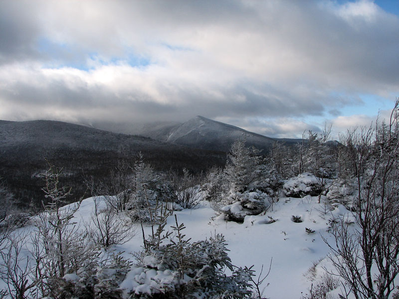
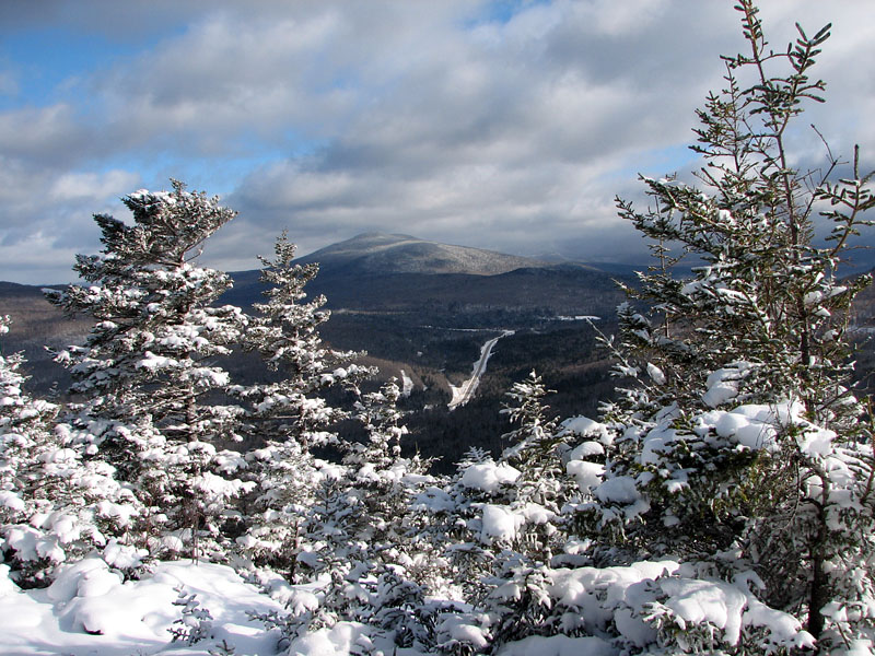
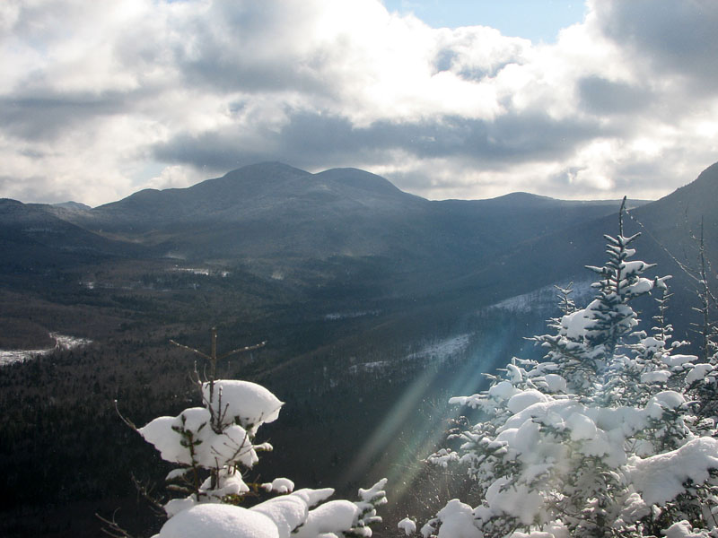
To the southwest, through a mixture of
clouds and patches of blue, I could see the summit of North Twin and
parts of South Twin and the Bonds. Directly to the south lay the
trailless and insignificant South Sugarloaf, followed by Mt Hale and
Zealcliff. To the southeast, I could see parts of the Willey Range,
probably Mts Tom and Field.
After admiring the views for as long as I
could handle the wind, I headed back down the ladder and took the trail
to the split, and then followed the North branch of the Sugarloaf Trail
to North Sugarloaf. The route to the North peak was somewhat gentler,
winding around the west side of the summit cone and then approaching it
more steeply from the northwest.
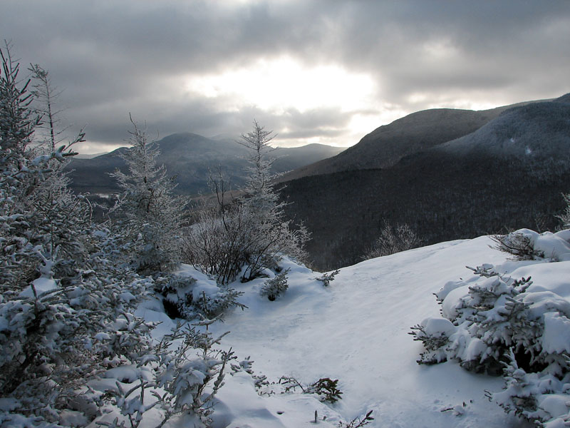
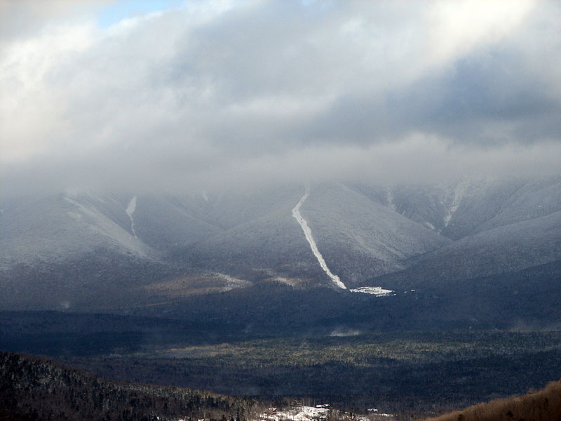
Not quite as windy, North Sugarloaf had some
nice views to the east and northeast, overlooking Rt 302 heading east
toward Mt Deception. Beyond that, there was little to be seen, as clouds
almost totally obscured the Presidentials. On Mt Washington, the only
thing I could see was the Cog Railway base station and the lowest
portions of the cog tracks before they disappeared into the mists. I
did, however, get a somewhat better of view of the Willey Range and
Zealand Valley to the southeast than I had from Middle Sugarloaf.
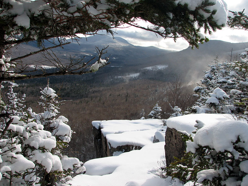
A few of the east-facing ledges on North
Sugarloaf were like a miniature of the cliffs on Mt Liberty, Flume, or
Bondcliff, smooth and angular with sheer drops into the valley below.
After heading back down the trail and
Zealand Rd to the car, I decided that it hadn't been enough of a climb
for the day, so studying the map and White Mountain Guide, I
decided to head on over to Franconia Notch to hike
Mt Pemigewasset,
another small mountain that I had never climbed before. |
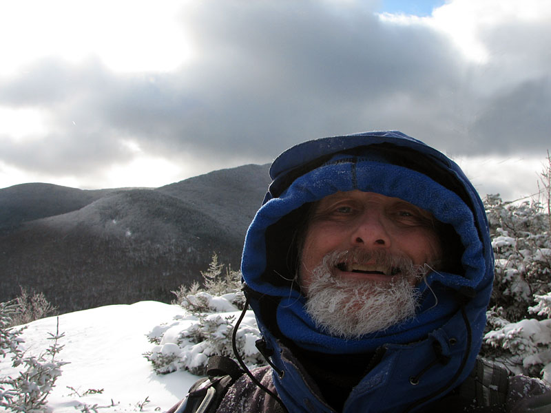
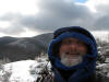
Self-portrait on the
summit of Middle Sugarloaf. Considering that the Sugarloaf peaks aren't
particularly
tall, it was quite windy on top. |
 |