|
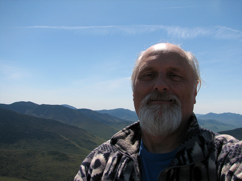
As anyone knows who's ever climbed
it, the views from Mt Garfield on a nice day are superb. And
after a long climb, I was ready to just sit down on the ledges,
relax, have some lunch, and enjoy those views.
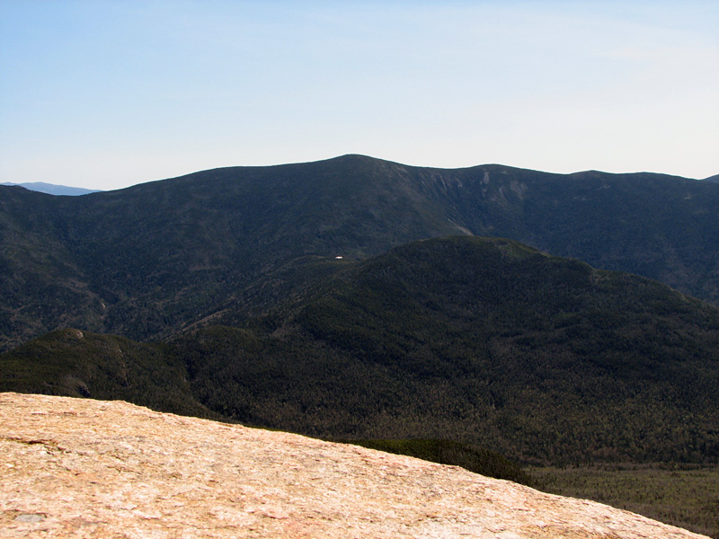
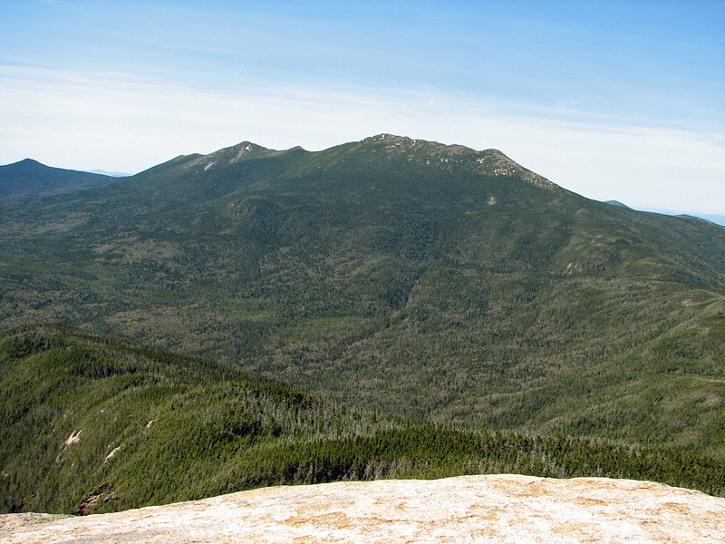
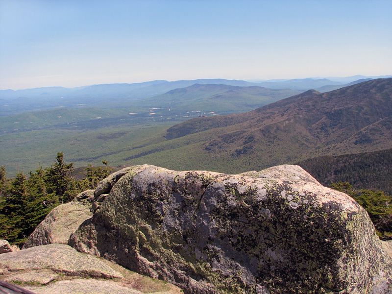
To the east, I could see the Twins
and Bonds, as well as my intended destination, Galehead Hut,
which from this distance, was merely a white speck amongst a
vast sea of trees. Mt Lafayette and Franconia Ridge dominated
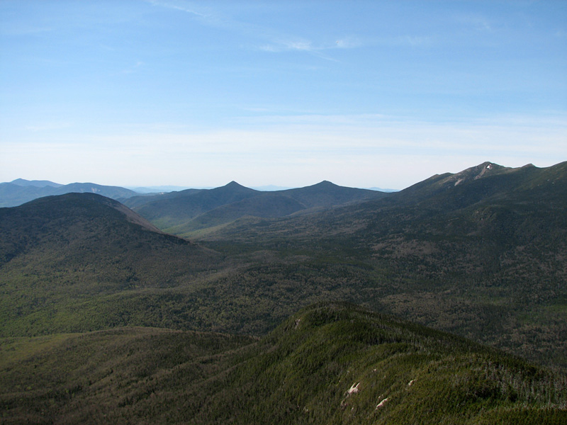
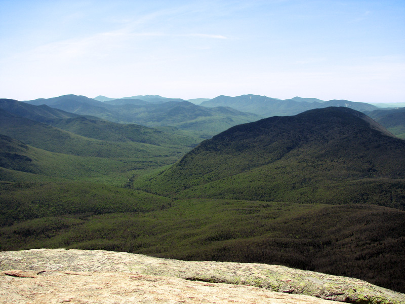
the eastern and southeastern horizon, while Owl's Head and the
western half of the Pemigewasset Wilderness spread out far below
me. The long thin winding line of Franconia Brook divided the
lower slopes of Owl's Head and the Mt Bond ridge. And somewhere
down there, hidden beneath the foliage, near the junction of
Franconia and Lincoln Brooks, was the 13 Falls Campsite where
Muffin and I had stayed almost 9 years earlier. This thought
made me a little sad, as Muffin was older now and no longer up
to long arduous mountain hikes.
After a nice rest, I was ready to
move on toward Galehead Hut. But before leaving the summit, I
took one last look to the north, where at the base of the Twin
Range, lay the little town of Twin Mountain and the smaller
peaks beyond.
I had hiked the Garfield Ridge Trail
as far as the Garfield Ridge Campsite once before, but hadn't
yet explored below that point. The Garfield Ridge Trail is
notorious for its numerous and tedious ups and downs, which I
was soon to see for myself. Because of this, it’s considered a
much tougher hike than one would assume by looking at a map or
the elevation gain.
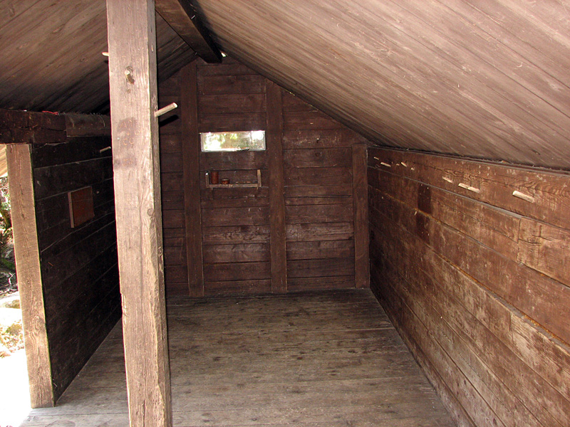
Before continuing down that unknown
portion of the trail, I stopped at the Garfield Ridge Campsite
to take another look around. It hadn't changed much since Muffin
and I had last been there in the fall of 2000. The shelter,
which accommodates 12 persons, was snug enough as these open
lean-tos go, at least as long as the wind and rain wasn't
whipping in from the south. Although clearly showing its age,
the interior was tidy and swept clean. Since the Garfield Ridge
Trail is part of the Appalachian Trail, this shelter sees a lot
of use. In order to save weight, many thru-hikers don't carry
tents and so count on these shelters for their nightly
accommodations. Personally, I prefer the privacy of a tent, but
of course, I've never been on that long of a backpack trip.
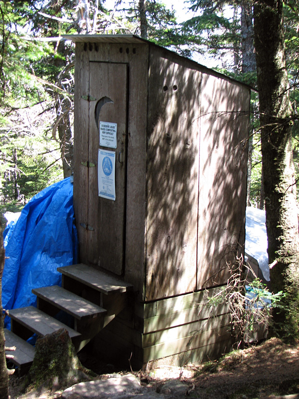
Next, I checked out the nearby
outhouse with its quarter-moon cutout on the door, which
incidentally doesn't actually go all the way through to the
inside as they seem to in movies or pictures on outhouse
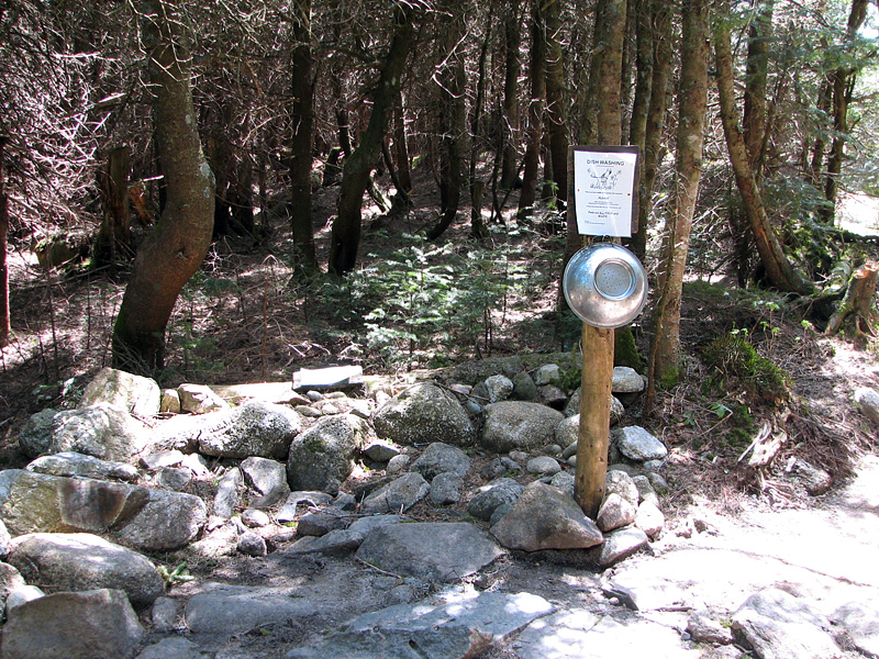
calendars. I also took a quick look at the tent platforms and
the dishwashing area. In these backcountry campsites, at least
in the White Mountains, the dishwashing areas are always located
away from the sleeping areas so any odors don't attract bears
and other animals to the tents or shelter. |
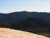
South Twin
and Galehead Mtn from Mt Garfield. The white speck in the col
between the 2 peaks is Galehead Hut. |
 |