As
we climbed higher, the fall colors began to disappear, replaced by
green stands of balsam fir and red spruce. The trail also became
rockier and steeper, but was always well-graded and with firm
footing. Numerous switchbacks helped keep the grade from getting
too steep.
On
one of the last switchbacks before reaching the Garfield Ridge
Trail, there was a large patch of blowdowns. I couldn’t tell
whether they were storm-related or whether this was an example of
a fir wave. Fir waves are bands of dead fir trees in the
mountains. Each year, the bands of dead trees progress up or down,
and are later filled in with new growth. Scientists consider them
a natural phenomenon, but are not sure what causes them.
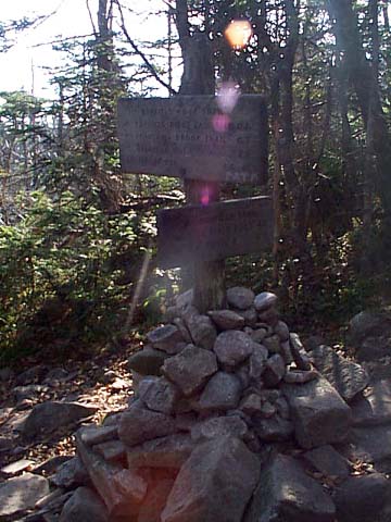
In
what seemed like less time than I had expected, we reached the
junction with the Garfield Ridge Trail. I wanted to go both the
summit of Mt Garfield, which was 0.2 miles and about 300 ft of
elevation uphill to the west, and to the Garfield Ridge Campsite
and shelter, which was a similar distance downhill to the east. I
decided to go to the summit first, then head down to the campsite
for a look.
While
we were at the trail junction, a couple and their little dog came
by. The dog was a bit smaller than Muffin, but wasn’t really
tiny like a Chihuahua. I’m not sure what kind it was. Anyway,
Muffin and this dog seemed to get along all right, which is odd
for Muffin because she is usually afraid of other dogs, even
smaller ones.
The
Garfield Ridge Trail began moderately steep, but soon became
steeper and steeper. I needed to use a few handholds and to help
Muffin up a couple of particularly steep spots, but it wasn’t
long before we reached the summit. At first I passed it by because
I didn’t notice a narrow side trail leading uphill, but when we
walked out onto an open ledge just below the summit, I could see
above us and we turned around. |
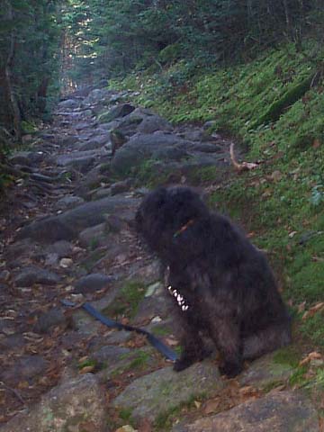
Muffin
looking up the Garfield Trail. Even in its steeper sections, the
Garfield Trail maintains in easy grade. It never really feels like
you’re gaining 3000 ft in elevation from the trailhead to the
summit. |
 |