|
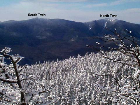
The views from Mt Field
weren’t quite as good as those from Mt Avalon because of the
wooded summit, but there was a good viewpoint east just off the
summit, and another good viewpoint west and south on the trail
just below the summit.
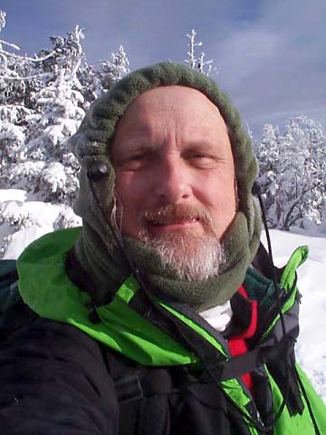
I
rested for a while on the summit, looking at the views, and having
a snack and a drink. I also took another picture of myself;
luckily, this one came out a little better than the last one. It
was very quiet up there; the only sounds were an occasional breeze
through the treetops and the crunching and squeaking of the dry
snow as I moved around.
Looking
around, I noticed the sign for the Willey Range Trail going north
toward Mt Willey, but the trail was completely invisible under the
snow. Considering that blaze marks were few and far between (or
buried under snow), this trail looked almost impossible to follow.
I
soon started back down the trail. Going down was a lot quicker
than going up, but I had to be careful where I put my feet to
avoid sliding too far with each step and falling, or plunging
deeply into the snow from the weight of my steps. I reached the Mt
Avalon Spur Trail junction in about 45 minutes, stopping
momentarily to take a drink and adjust my pack. Below here, it was
mostly easier going except for the icy areas where I had to be
extra careful. Still, it would have been more dangerous with my
crampons than without in the deep snow.
Just
after passing the A-Z Trail junction, I met 3 people on their way
up, the first people I had seen on the trail all day. They had
gotten a late start and didn’t expect to make it all the way,
but were hoping to at least hit Mt Avalon, which they probably
reached.
Finally,
I reached Crawford Depot and the car around 3:30, about 7 hours
after leaving. It had been a long day, but it had been a good
climb because I made it, even under the somewhat difficult
conditions of deep snow and around zero temperatures. I drove off,
stopped to get gas, to call home, and to get a chocolate chip
muffin and a soda as a snack, then headed home. |
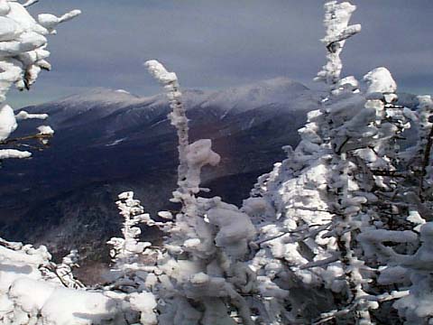
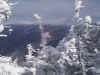
Mts
Washington and Jefferson from the summit of Mt Field. As you can
see, the view is somewhat restricted in this direction. |
|