|
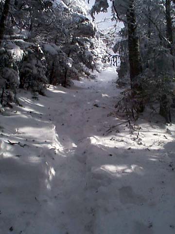
The
100-yard long spur trail rose steeply up to the summit, gaining
another 100 feet before ending at the ledgy summit rocks. Mt
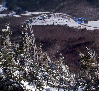
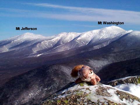
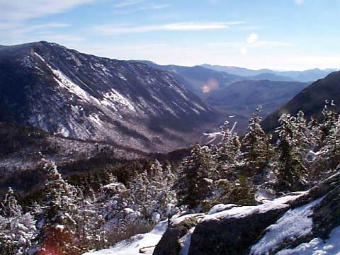
Avalon offered the first real views of the climb. The views east
to the Presidentials, down into Crawford Notch, and west and north
along the Willey Range were spectacular. Because of the shape the
ridge, I couldn't see Mt Field above me to the southwest.
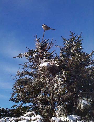
While
on the summit, a Canada Jay hung around on the rocks looking for
food. I gave it a few small pieces of my power bar. It even took
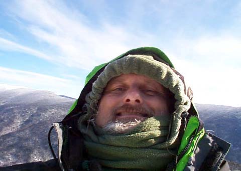
one piece right from my hand. Finally, before leaving, I tried to
take a picture of myself by holding the camera at arm’s length.
It didn’t come out all that good because it was hard to tell
where I was aiming.
I
left the summit and went back down to the Avalon Trail. After
starting up the trail toward Mt Field, I soon discovered that the
trail was not in as good a condition beyond Mt Avalon. It had been
packed reasonably well so far, but only one person seemed to have ventured
beyond Mt Avalon, and without snowshoes, probably the day before.
Thus, the trail was not packed except for a single set of
footprints. This made for slow going, but I decided to give it a
try anyway. After all, I had come this far. The trail went through a relatively flat area, then
dipped down to a small windswept col, then began climbing steeply
up the ridge toward Mt Field.
The
trek up was tiring work. Because of the powdery conditions, each
step was extra work, a lot like climbing up a sand dune. In some places,
the trail was entirely drifted over with no record of anyone else
passing. Finally, I reached the
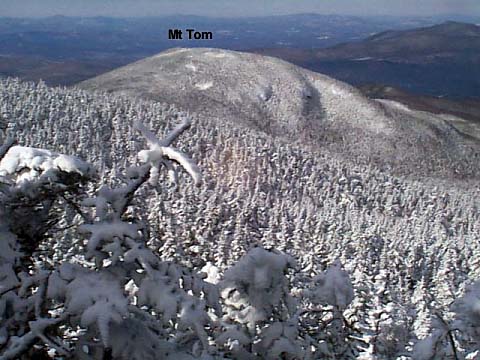
junction of the Willey Range Trail. Looking down the trail toward Mt
Tom, I could see that it hadn’t been traveled in quite some
time; in fact, in was hard to even pick out the line of the trail
through the trees. It didn't seem likely that I was going to head
that way next.
The
last hundred yards up to the summit was not quite as steep as the
final approach to
Mt Avalon, but was still difficult going. But I could see light at
the end of the tunnel (almost literally), and quickly climbed the
last few steps.
|
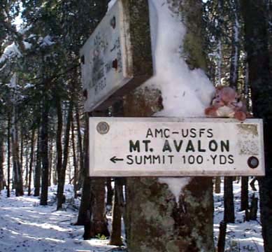
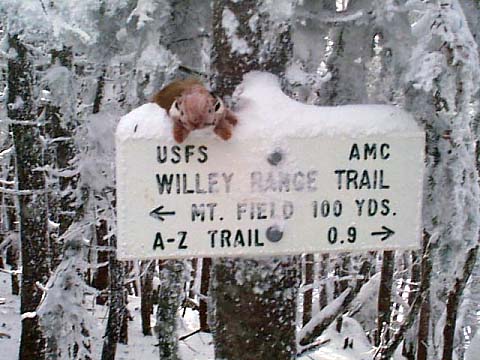
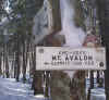
Mt
Avalon Spur Trail junction. From here, the spur trail rises
steeply 100 yards to the summit of 3230-ft Mt Avalon. |
|