|
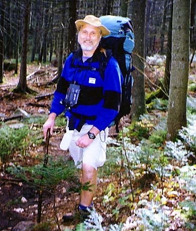
We
left home at the somewhat respectable hour of 7:00 AM (as opposed my typical
departure time of 4:30 AM when I'm hiking alone or with Muffin). After an
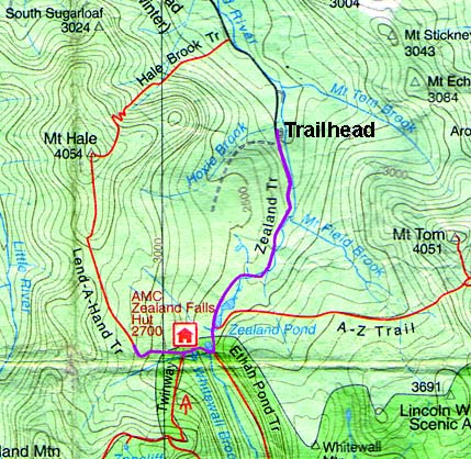
uneventful drive up, we parked the car at the end of Zealand Road. We left
the Zealand Trailhead in the mid-morning with full packs for an overnight
stay at the Zealand Falls Hut, which was operating as self-service at that
time of year. Muffin had to stay in a kennel because dogs can't stay in
the hut. We also brought the camcorder with us because Holly was making a
video about backpacking for a gym class project.
Since
it was going to be an easy trail and we didn't have to carry tents or a
stove, we packed in a lot of food. We also wanted to take advantage of the
convenience of the hut's kitchen and enjoy a nice supper in the dining
area.
The
trail was relatively flat with numerous brook crossings over both bridges
and stones. All crossings were easy, and trail was dry. There was also a
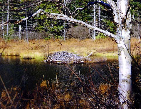
section over a boardwalk through a particularly wet area where beavers had
dammed up the Zealand River. Along the way, we saw a beaver dam, but
unfortunately, we didn't see any beavers. Holly joked that Norbert and
Daggett (from The Angry Beavers cartoon show) lived nearby.
|
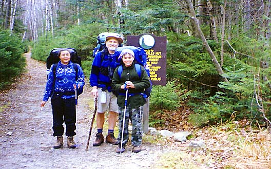
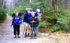
Erin,
me, and Holly at the Zealand Trailhead. Much of this trail follows an old
logging railroad is very easy hiking. |
 |