|
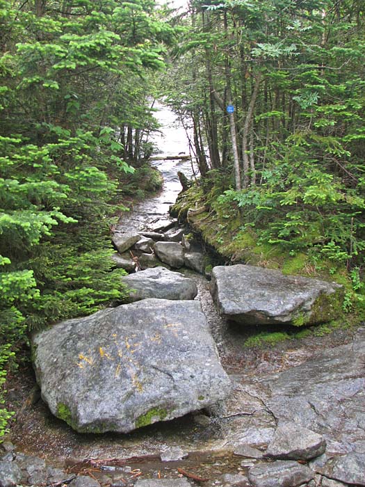
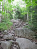
The Yellow Trail soon began to climb more
steeply over a rough rock-strewn path. Aside from a slight difference in
types of rock and vegetation, it was very similar to trails in the White
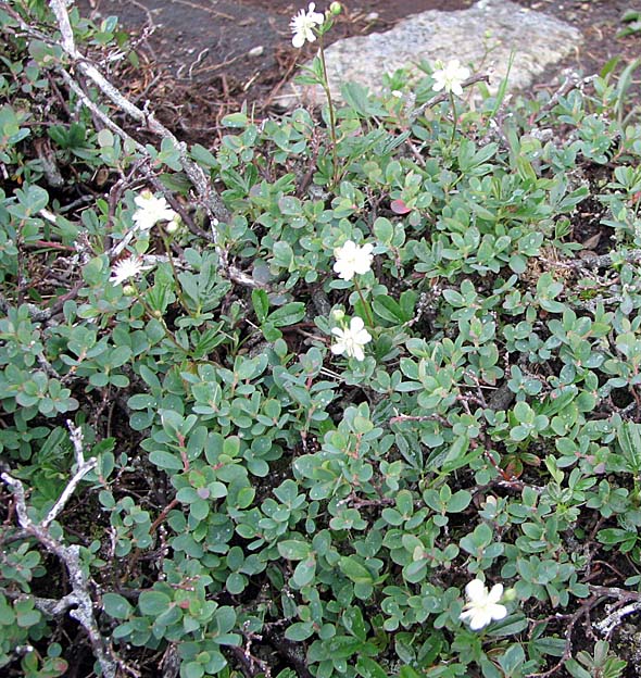
Mountains. As I continued to ascend, I began to see a number of mountain
ash trees, which at first I mistook for sumac. There were also plenty of
birch trees, and of course, the ever-present balsam firs and spruces at
higher elevations.
The weather forecast had been for a nice
sunny day, but it was disappointingly cloudy from the start, and about a
third of the way up the Yellow Trail, it began to drizzle lightly. The
wind also started to pick up in the treetops, though it was calm enough
at ground level in the shelter of the trees.
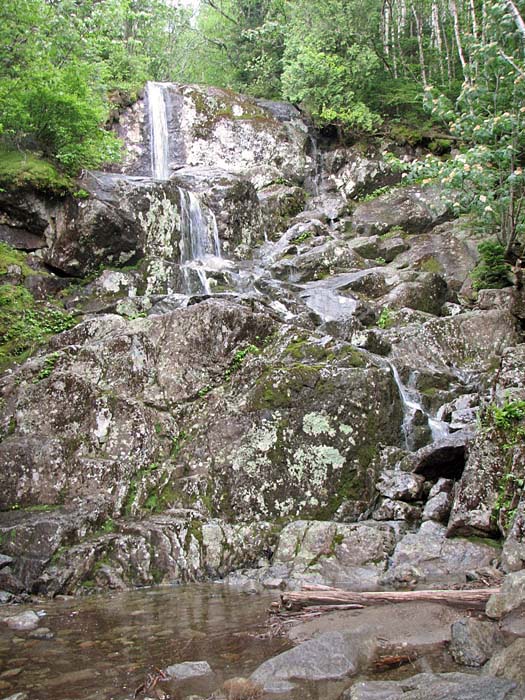
A little higher up, I passed a waterfall at a
spot where MacIntyre Brook crossed the trail. A light mist was in the
air, and where there were views up to the heights, I could see thick
clouds enveloping and blowing across the peaks.
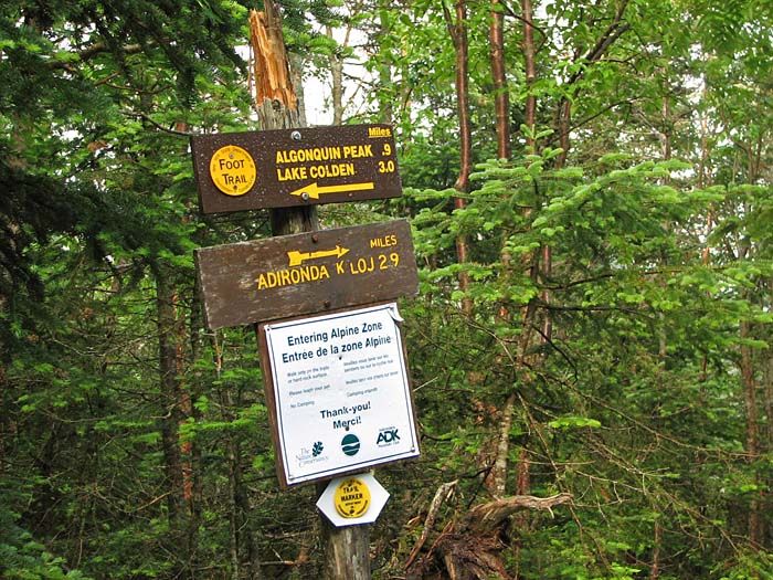
Finally, I arrived at the spur trail to Wright
Peak. I nearly missed it because the prominent trail sign opposite the
spur trail merely pointed up to Algonquin and back down to the
Adirondack Loj, never mentioning Wright. Instead, some extremely faint
and worn painted yellow letters on a large boulder marked the way. The
guidebook cautioned that if one wanted to climb both Wright and
Algonquin, they should climb Wright first because they'd probably be too
tired to bother with it on the way back down. This is just what I
decided I'd do, which also gave me an added bonus of more time to figure
out what the weather was going to do.
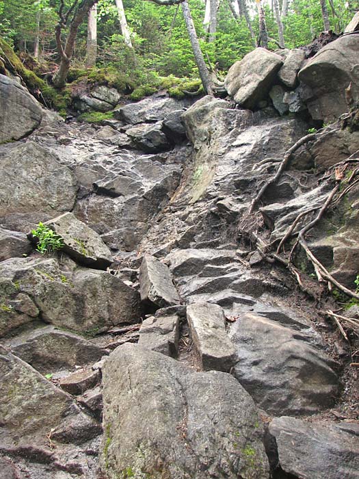
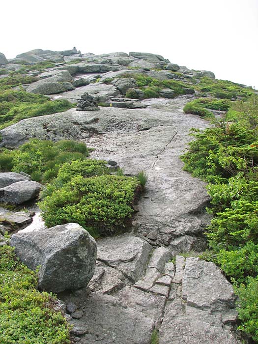
The blue-marked spur trail climbed steeply
over large gray rocks mottled with patches of lichen. The moment I
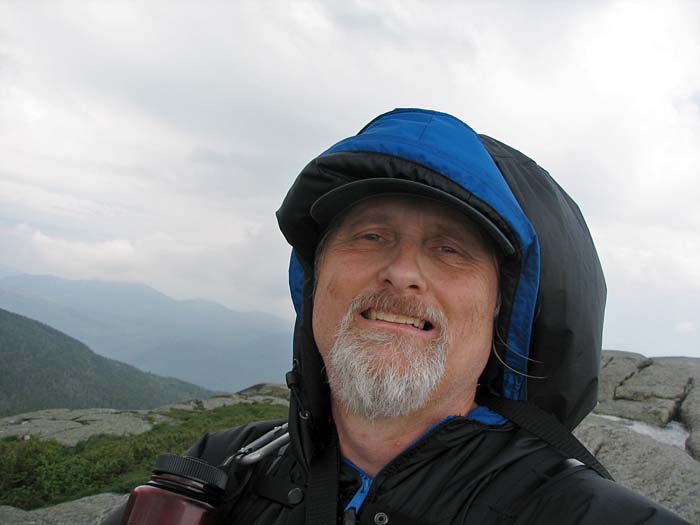
emerged above treeline onto smooth open ledges, the wind pummeled me
with unexpected force, driving stinging droplets of mist into my
unprotected face. I hastily yanked my hood up, securing it tightly under
my chin. It was only two-tenths of a mile from treeline to the top, but
it felt like a much longer distance in the unrelenting wind.
To the south, the summit of Algonquin was
wreathed in a swirling gray cloud, and thick dark clouds loomed
ominously on the western horizon. I had made my mind up. I would not be
going to Algonquin on this trip. I wasn't working on the 46 High Peaks
list, and a viewless summit in the wind and clouds is no picnic. |
The Yellow
Trail. Aside from a slight difference in types of rock and
vegetation, the Adirondack trails were very similar to trails in the
White Mountains. |
 |