|
Our family was in the Lake George, NY
area over the first part of the 4th of July weekend, so I decided to
take a day trip up to the Adirondacks to climb one of the 46 High
Peaks. My time wasn't unlimited so I didn't want to pick one of the
longer hikes, of which there seem to be plenty in the High Peaks
region. I figured that Algonquin, which is in the MacIntyre Range, and possibly nearby Wright Peak
were a reasonable destination for a
day trip.
I got up at 4:00 AM at the campground we
were staying at near Lake George, and made the drive up to Lake
Placid and the Adirondack Mountain Club's (ADK's) Heart Lake
Trailhead.
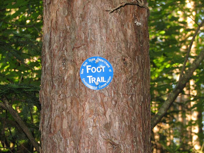
After parking at Heart Lake, I began my
hike on the Van Hoevenberg Trail before 6:00 AM. Trail naming conventions are
radically different in the Adirondacks. Many trails don't even have
names as they do in the White Mountains. The Van Hoevenberg Trail is
also known as the Blue Trail or Trail 61. The number corresponds to
the trail number listed in the ADK's Adirondack Trails: High
Peaks Region guidebook.
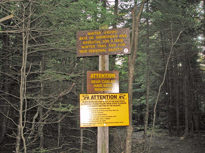
Appropriately enough, the Van Hoevenberg
Trail is marked in blue. However, unlike the painted blazes in the
White Mountains, Adirondack trail markers are round metal disks that
are nailed to the trees. I guess these are more durable, but they
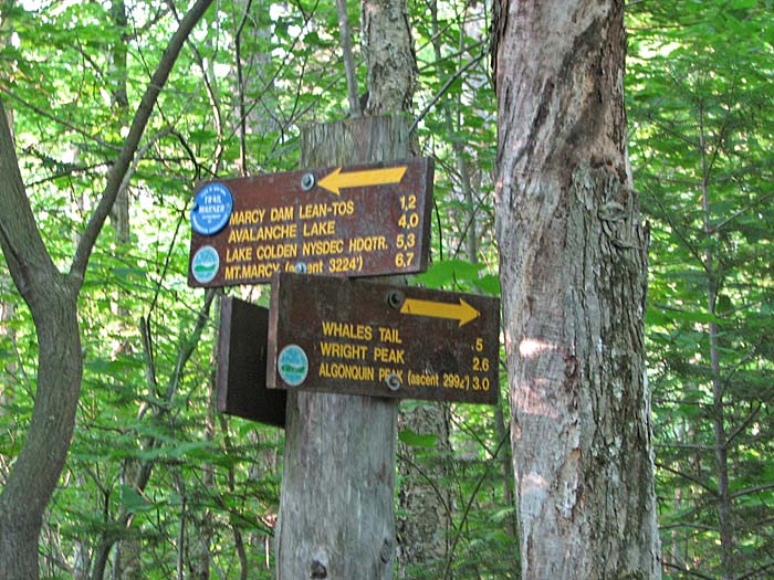
also have to be more costly. The Blue Trail goes to Marcy Dam and Mt
Marcy, but I was only taking it as far as the Yellow Trail.
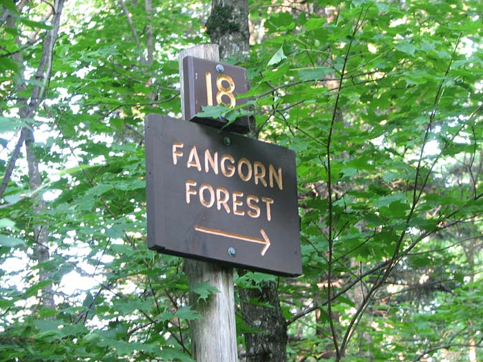
A short distance up the trail, I came to
a trail sign pointing to Fangorn Forest. I assume that this area was
named after the home of the Ents in Tolkien's The Lord of The
Rings, but I don't know for sure because I couldn't find any
information on it.
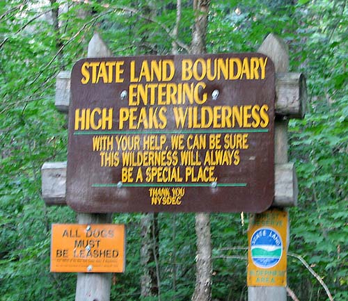
After passing the High Peaks Wilderness
Area boundary, where most of the 46 High Peaks are located, I soon
reached the junction with the Yellow Trail or Trail 64, which
ascends Algonquin Peak, passing a side trail to Wright Peak along
the way. |
Heart Lake
Trailhead. Trail naming conventions are radically different in the
Adirondacks. Many trails don't even have names. The Van Hoevenberg
Trail is also known as Trail 61 or the Blue Trail. |
 |