|
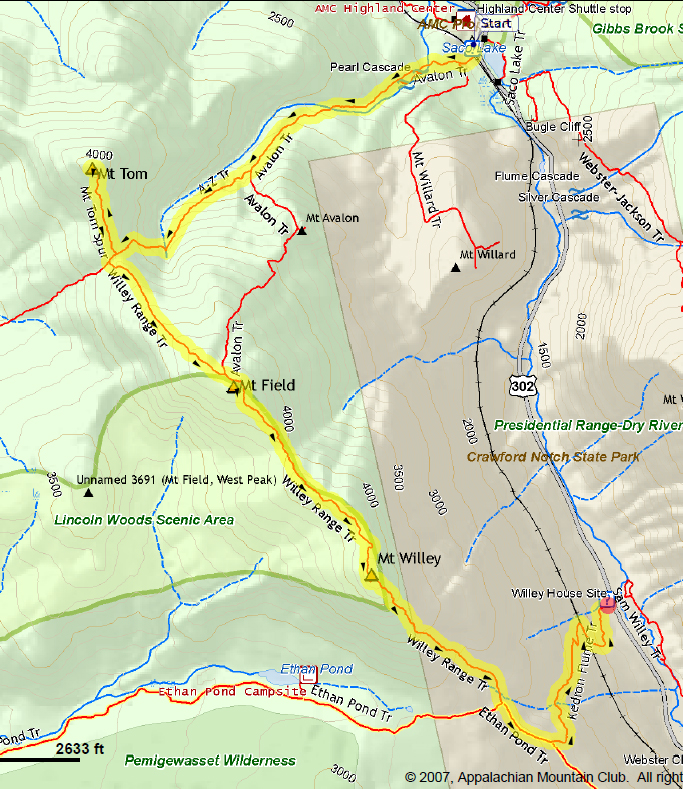
My original plan was to climb these three peaks from north to south, and then, after Willey, head back to Mt Field and return to the Highland Center via the Avalon Trail. Of course, things changed by the time we reached Mt Willey so a slight revision was necessary, but more on that later.
As
usual, we left home about 4:30 AM, I parked at the Highland Center, and we started heading up the Avalon Trail around 7:30 AM. Having seen the fals along the Cascade Loop more than once, and with a long day ahead of us, we bypassed that loop and continued straight up the main trail. While passing through the steep gully just past the A-Z Trail junction, I couldn't help but remember the time back in April 2001 when I lost a hiking pole while trying to keep from "skiing" downhill on my not quite all-terrain snowshoes. Traction was certainly a lot better here without snow and ice.
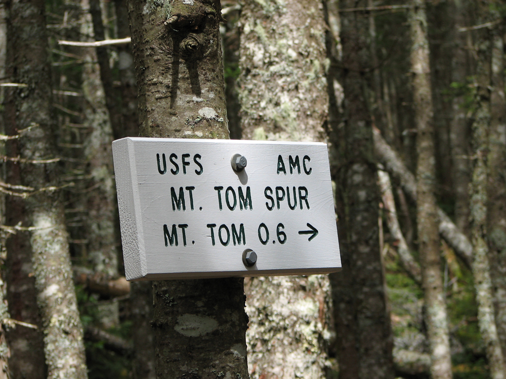
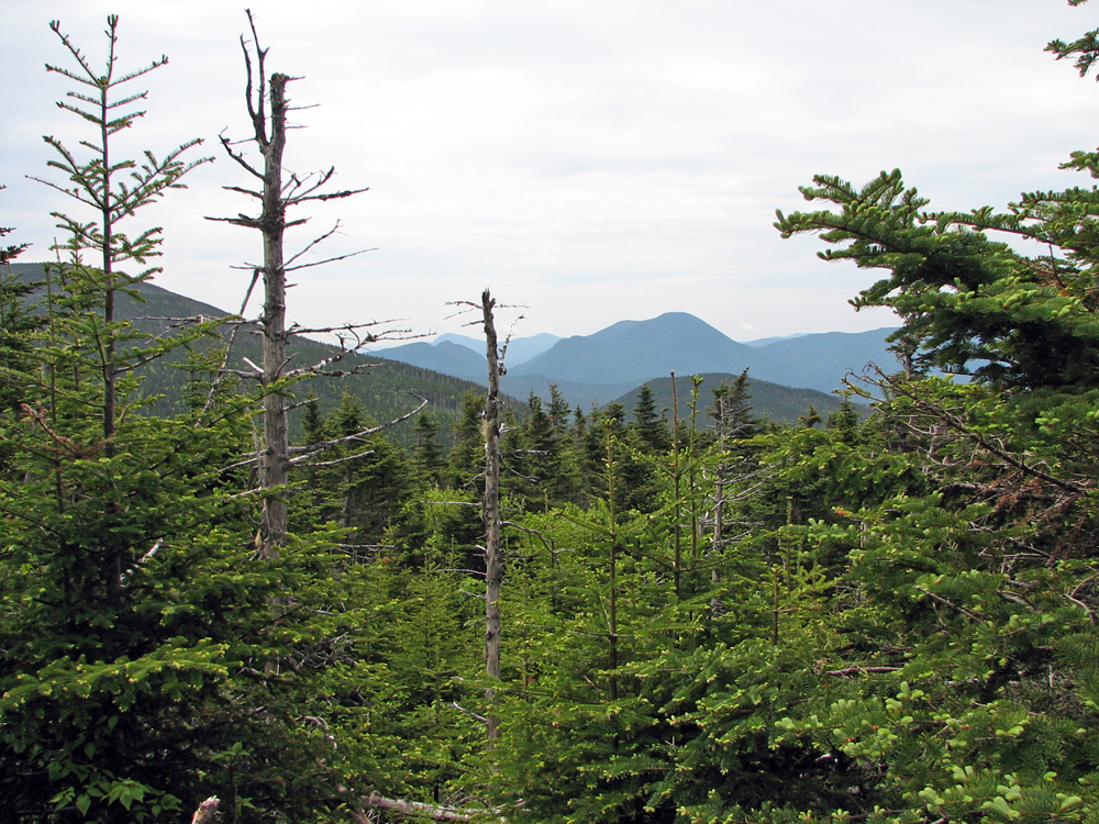
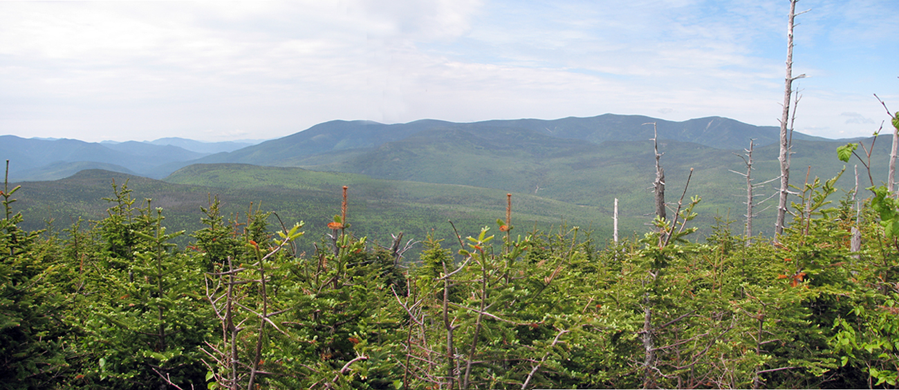
After reaching Mt Tom, we stopped at the southeast-facing viewpoint to take a couple of pictures and then continued on up to the true summit over a log shored-up path. While I sat down for a snack and a drink of water, Patches managed to snub the food I had opened for her breakfast. Unfortunately it was not an easily-reclosable container and I ended up having to get rid of the uneaten food away from the trail off in the scrub. I should have brought a zip-lock bag but I hadn't counted on her not wanting to eat. Finally, we hiked over to the western viewpoint where I managed to get some good pictures of the Twins and Bonds, and even an extreme closeup of Zealand Falls and the hut. This is the first time I've ever noticed that they were visible from Mt Tom.
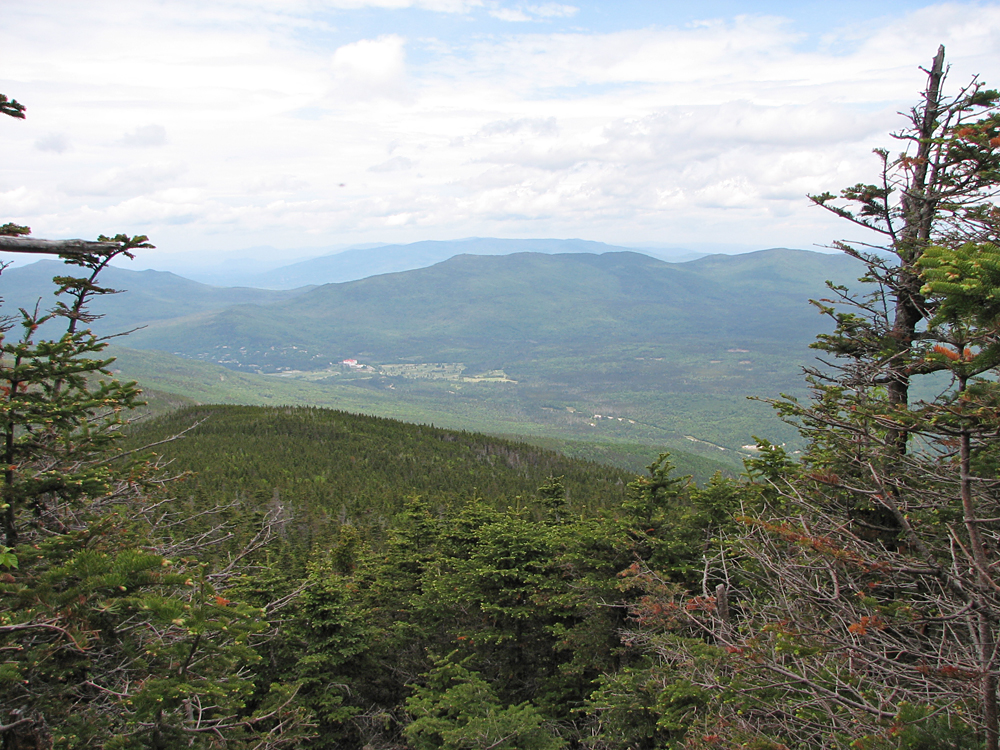
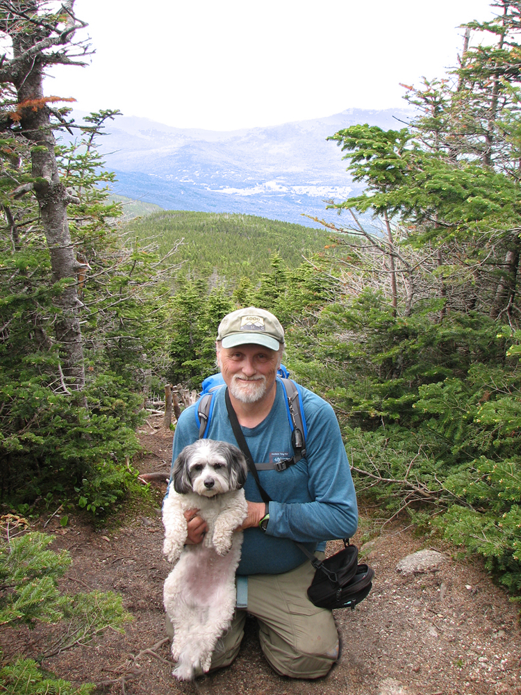
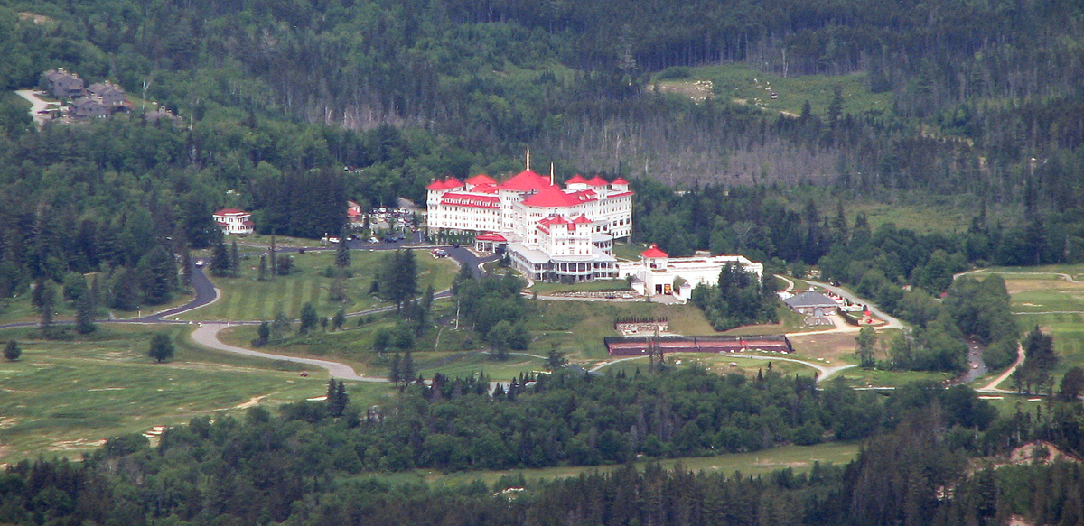
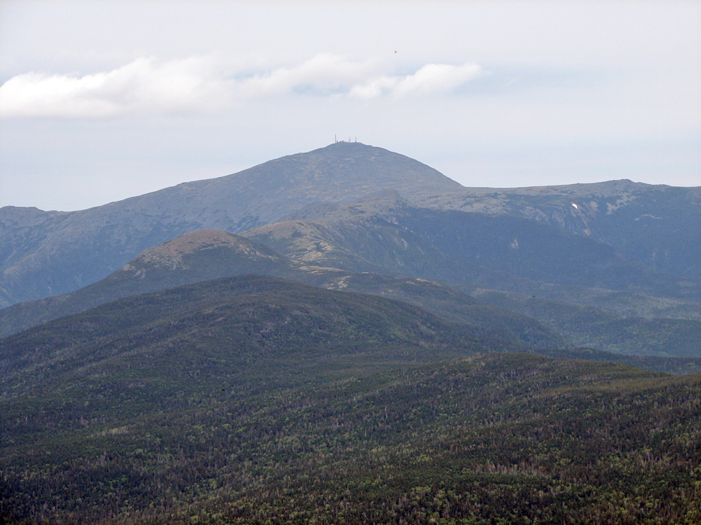
Next on our list was Mt Field, which was a pleasant and gentle climb up from the Tom-Field col. We hadn't seen anyone else on Mt Tom but Field was fairly crowded. Several hikers had come up the trail from Mt Willey, while another group had just ascended the Avalon Trail. Someone offered to take a picture of me and Patches, which was nice. I usually end up taking a self-portrait of the two of us, but it's harder to get her to look at the camera that way. On the east-facing viewpoint, there were wide panoramas of the upper end of Crawford Notch, and especially the Mt Washington Hotel of which, like Zealand Falls Hut from Mt Tom, I was able to take a nice clear closeup. Mt Washington itself, however, was hiddem in the clouds.
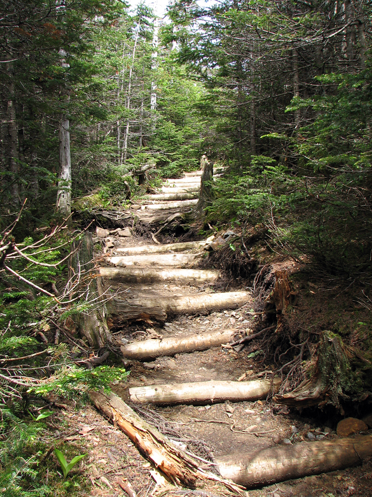
By the time we were ready to leave Mt Field, I was beginning to question my plan of hiking over to WIlley and then turning around and hiking back to Mt Field. It had been about ten years since I had last made a complete loop over this range and I had forgotten how rough the Willey Range Trail was between Field and Willey. On top of that, I was beginning to run out of water and there wasn't a drop of it anywhere in the col. So, when we finally made it to Mt Willey, I made the decision to descend the steep route (ladders and all) down the southern slopes of Willey. I knew that there was plenty of running water down by the Ethan Pond Trail junction.
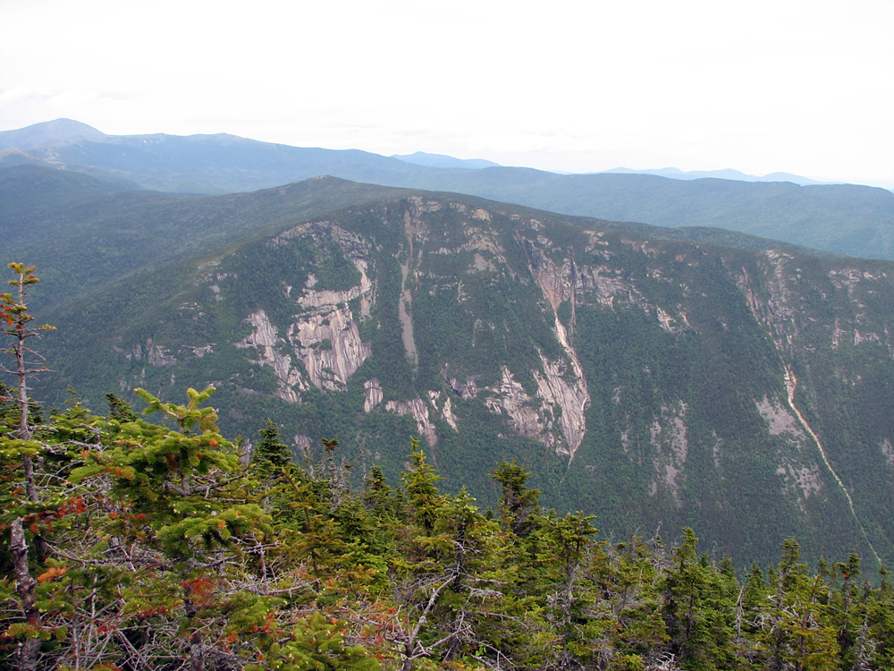
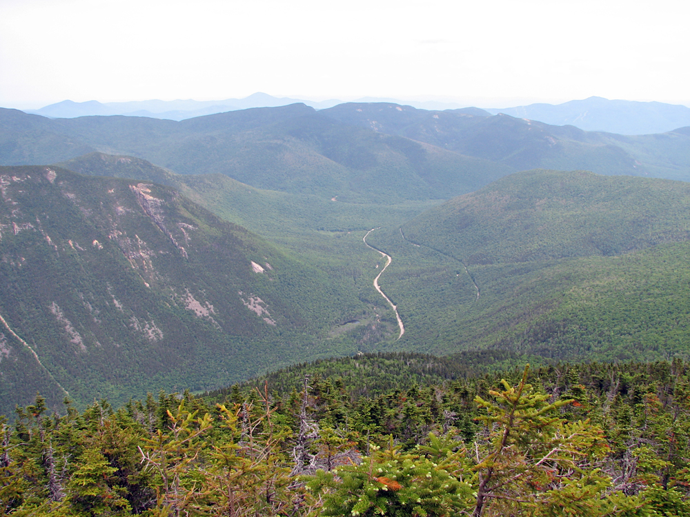
In the meantime, the views from the Mt Willey ledges were superb, even with a bit of a haze. The clouds had lifted and Mt Washington was in full view, while in the other direction, Webster Cliffs and the southern end of Crawford Notch were quite striking. You can amost always get a great closeup of Webster Cliffs from the opposite side of the notch, just as you can almost always get a good shot of the Cannon Cliffs from Greenleaf Hut or Mt Lafayette.
As expected, the hike down the Willey Range Trail was exceedingly steep, but we didn't have any real issues. Patches sailed down the ladders in back of me, and bounded from ledge to ledge like a mountain goat. Patches is a cockapoo, part cocker spaniel and part poodle, but somewhere in her long lost family tree, a mountain goat or bighorn sheep must have married in to the family.
The one thing at the back of my mind on our way down was how we were going to get back to the car after we made it to the bottom. Once we got to the Ethan Pond Trail (and filled the water bottle), I planned on following the Kedron Flume Trail down to the Willey House site, where there's a gift and snack shop. It seemed like a likely place to look for a ride, and it was certainly a lot better than hitchhiking.
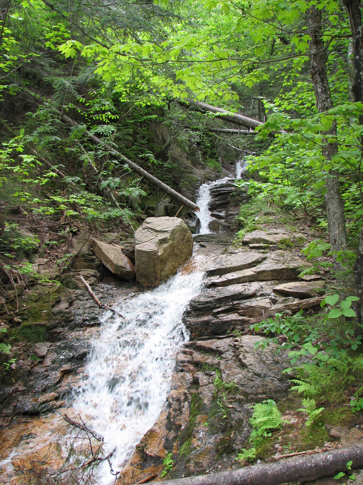
After passing over Kedron Flume and taking a couple of pictures, I knew we were starting to get close. We soon crossed the bed of the Conway Scenic Railroad, flew through the last leg of the trip, and reached the gift/snack shop. The only problem was that there were hardly any tourists around, and the place was getting ready to close. Inside, I asked the two people who worked there whether anyone might be headed back up past the Highland Center anytime soon. Although the shop was about to close, they had to stay and clean up, but as it turned out, there was a guy who worked for Crawford Notch State Park just finishing up some work, and luckily, he offered to take us there as it was on his way back home. At any rate, before long we were back at the car again and ready to hit the road for home. Patches had now finished climbing ten 4000- footers! |
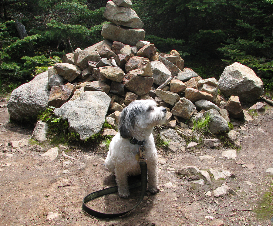
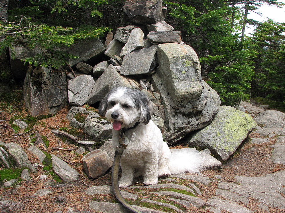
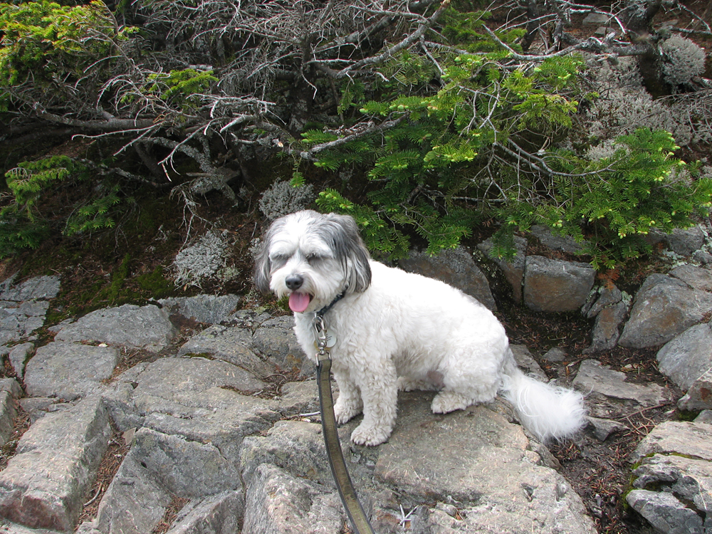
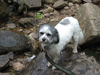
Patches on the Avalon Trail. As usual, she was glad to get out of the car and start hiking. |
|