|
As
soon as we reached the top, I took off my pack and we sat down to rest on
the east-facing ledges. Actually, I sat down and Muffin stood.
She's not particularly good at resting, especially if the rest stop
involves food, which this one did. While sharing a bit of my power bar
with Muffin, I admired the clear views.
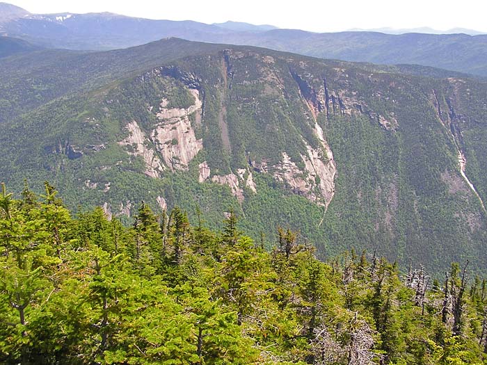
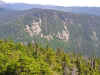
Directly
across Crawford Notch are the Webster Cliffs and Mt Webster. The summit
itself is little more than a bump on the sprawling Webster massif. Beyond,
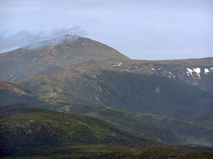
Mt Washington and the rest of the Southern Presidentials stood out stark
and brown, except for a few remaining patches of snow and plumes of gray
coal smoke from the Cog Railway. To the south, Crawford Notch and Rt 302
wound their way toward Bartlett and North Conway.
When
we were finished with our snack, we continued a short distance up the
trail to Mt Willey's true summit, a viewless spot about halfway between
the mountain's east and west-facing outlooks.
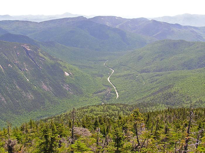
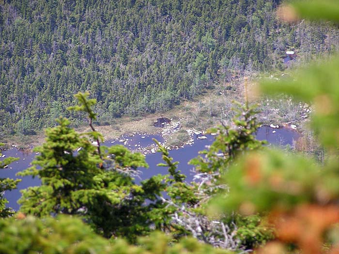
At
the western ledges, we paused so I could take pictures of Ethan Pond, Mt Carrigain
and the southeastern corner of the Pemigewassett Wilderness. Beyond these
ledges, there were a few restricted views west toward Zealand Notch and
the Bonds, but we didn't linger for very long, as I ready to move on
toward Mt Field.
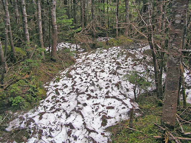
A
short distance below, in the mountain's shady northern slopes, we
encountered a few isolated patches of dirty and decaying snow, but they
weren't enough to make me wish I had brought snowshoes. The Willey Range
Trail continues to descend moderately, finally reaching the relatively
flat col between Willey and Field. |
Webster
Cliffs. We rested on Mt Willey's east-facing ledges for awhile to
have a snack and admire the clear views. |
|