|
Above
the last ladder, the trail continued steeply upward through the boreal
forest, but soon began to moderate. I could tell that we were getting
close, that the summit was just around the bend. As usual though, there
were still quite a few bends left.
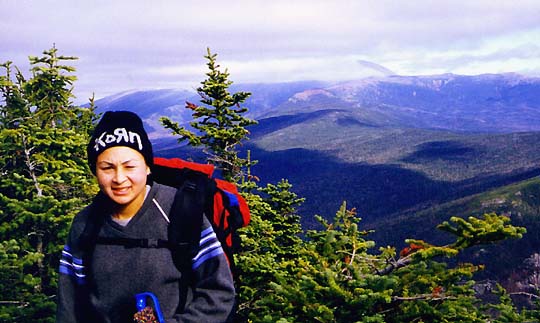
When
we stopped for a short rest and a drink, a woman hiker caught up to us and
passed on by. We exchanged greetings briefly. Like us, she was just headed
to Willey and back down again.
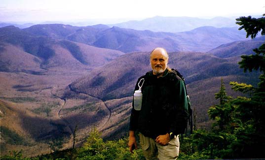
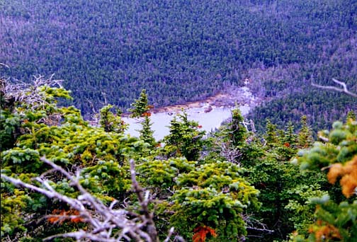
Finally,
we rounded the last bend and arrived at the east facing summit ledges. We
took off our packs, dropped our poles, sat down, and had lunch - potato
sticks and power bars - overlooking Crawford Notch and the Southern
Presidentials. Except for a tiny patch of brown peeking through, the
summit of Mt Washington was in the clouds. Rt 302 and the Conway Scenic
Railroad tracks were clearly visible down in the notch, snaking away out
of site to the south. I could see the southern terminus of the Dry River
Valley where it disappeared behind the Webster Cliffs, but I wasn't sure
whether I could pick out Mt
Isolation, where Muffin and I had been last
August.
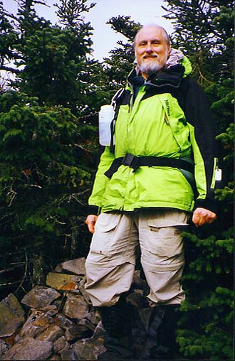
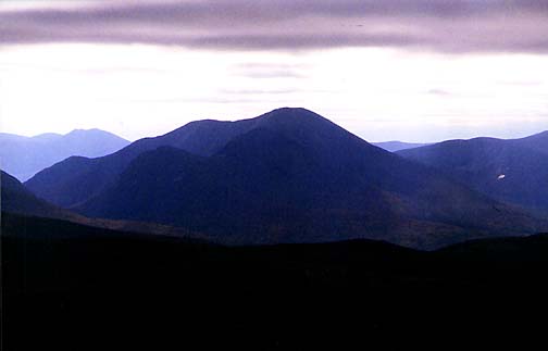
After
we ate and took a few pictures, we picked up our packs and strolled over a
short distance to the true summit of Mt Willey, which is wooded and
nondescript except for a small cairn. Then we walked over to the nearby
west facing ledges, where there were magnificent views of the Pemigewasset
Wilderness. We could see the Twins and the
Bonds, Mt Carrigain, and most
of the nearby Ethan Pond. Zealand Falls
Hut, which is clearly visible from
Mt Tom, was hidden behind the bulk of Whitehall Mountain.
Although
I could have stayed and enjoyed the views a bit longer, the clouds were
starting to build once again, and I knew that it was time to start down. |
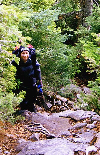
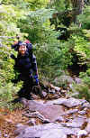
Erin
climbing up the upper portion of the Willey Range Trail. As we began to
approach the top, the grade began to lessen a bit, but the summit seemed
just out of reach, always beyond the next bend. |
 |