|
Beyond
Kedron Flume, the trail became much steeper and wetter. Parts of it even
merged with some small streams. I was glad that we had worn gaitors and
brought poles. Slippery leaves hid small rocks, and we crossed occasional
muddy patches. Some sections were eroding and rocks were becoming loose.
Even
so, it wasn't too far to the Ethan Pond Trail junction, and we were soon
there. It was a good spot for quick drink and a snack. The Ethan Pond
Trail here was a wide smooth highway, curving gently a couple of hundred
feet uphill to the Willey Range Trail. It looked inviting beyond this
point. I wished that we had had the time to hike the extra hour round trip
to Ethan Pond as well as climb Mt Willey. I was interested in scouting out
the shelter and tent platforms as a possible campsite for a future trip.
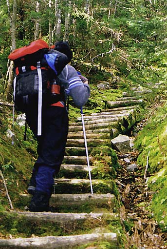
At
first, the Willey Range Trail was relatively flat and I wondered if and
when we'd come to the notorious steep sections I'd heard and read about. I
didn't have long to wonder; after recrossing Kedron Brook, the trail began
to rise more sharply. Rough rocky sections alternated with log steps and a
couple of boulder scrambles.
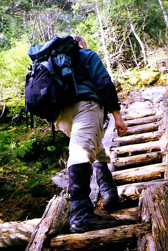
One long set of log steps must have taken a lot of work to build, though
not recently. They were decaying and badly in need of repair.
There
were also two or three sets of ladders that climbed up some steep smooth
ledges. The longest section - two ladders tall - was also the most dilapidated.
The rails were decaying, several rungs were wearing thin, and one was even
missing altogether. At the top a single narrow beam led across the open
face of the ledge to an eroded root-filled embankment. |
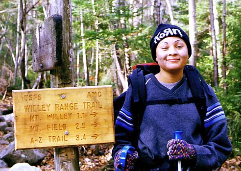
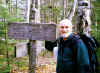
Me
at the Ethan Pond Trail junction. The Ethan Pond Trail here is wide and
smooth. It's an easy walk to the Willey Range Trail. |
 |