|
It had been an extremely snowy winter in the mountains, and coupled with my wife's back surgery, my own cataract surgery, and other unavoidable issues, Patches and I had not been able to get up to the White Mountains to climb another peak since last fall. By the end of May, the deep snow had almost disappeared from most trails, so it was time to add another 4000-Footer to Patches' list. She only had 15 peaks left to climb, most of which were the tougher ones, so it took a bit of thought to figure out the best one to climb for this first hike of spring. I finally decided on Mt Whiteface since recent online trip reports indicated that only a few avoidable pockets of snow were left on the trails and in the woods.
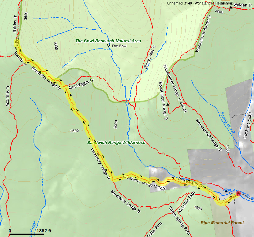
I would rather have approached Mt Whiteface via the Flat Mountain Pond and McCrillis Trails to avoid the steep upper ledges on the Blueberry Ledge Trail, but these are lightly-traveled trails with no recent trip reports, so there was no guarantee regarding snow conditions, downed trees, and/or missing trail signs. I decided that it was better to stick with the Blueberry Ledge Trail and hope that the ledges weren't slippery.
After crossing Squirrel Bridge over the Wonalancet River, the trail followed a dirt road past several houses, then turned off into the woods and became narrower, rising gently, angling away from the river. The blackflies were quite pesky, even though I had put on repellent. They particularly lliked to fly around and into my ears.
If I kept moving, it wasn't quite as bad.
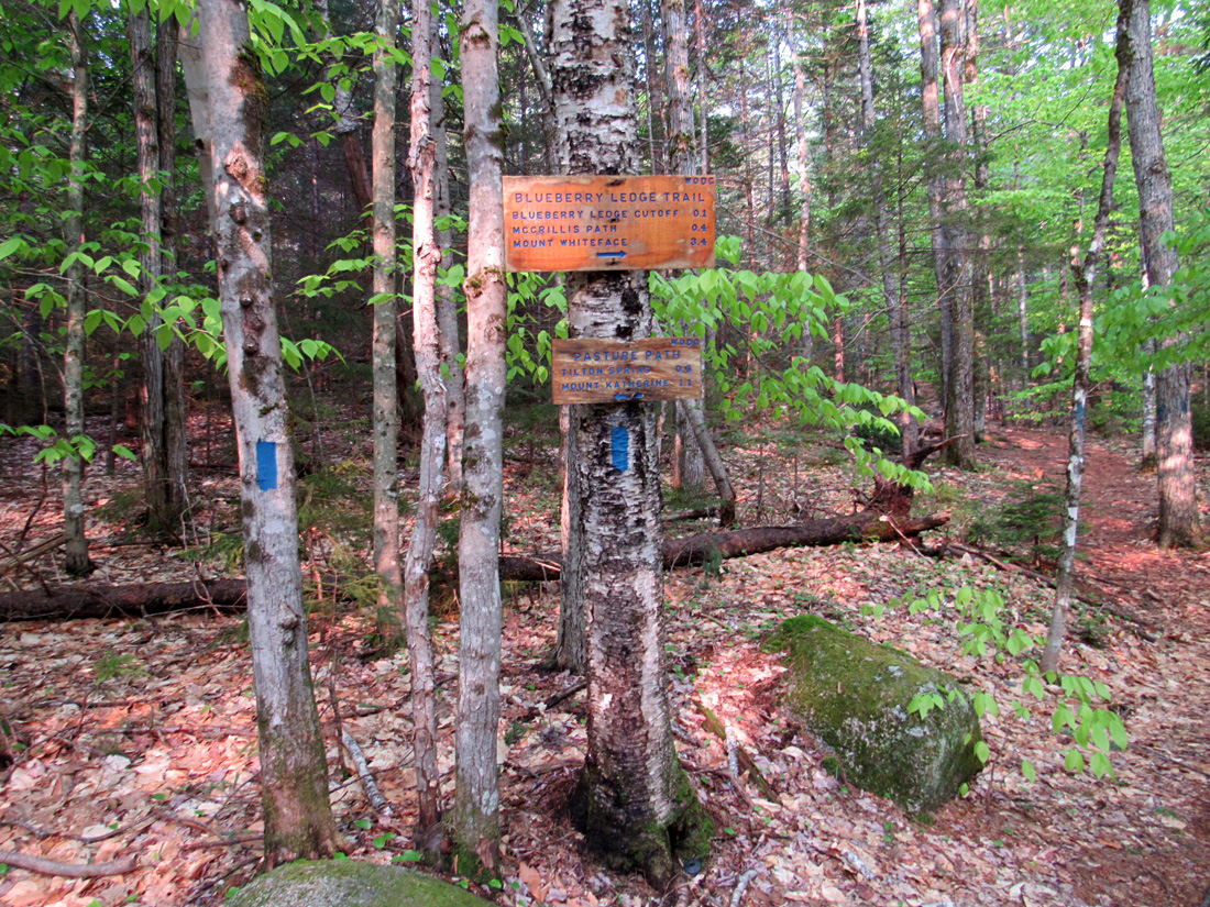
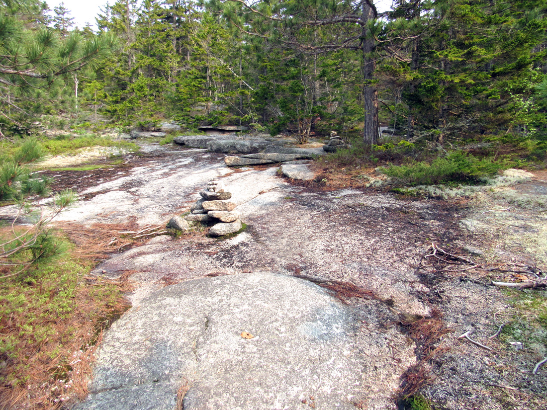
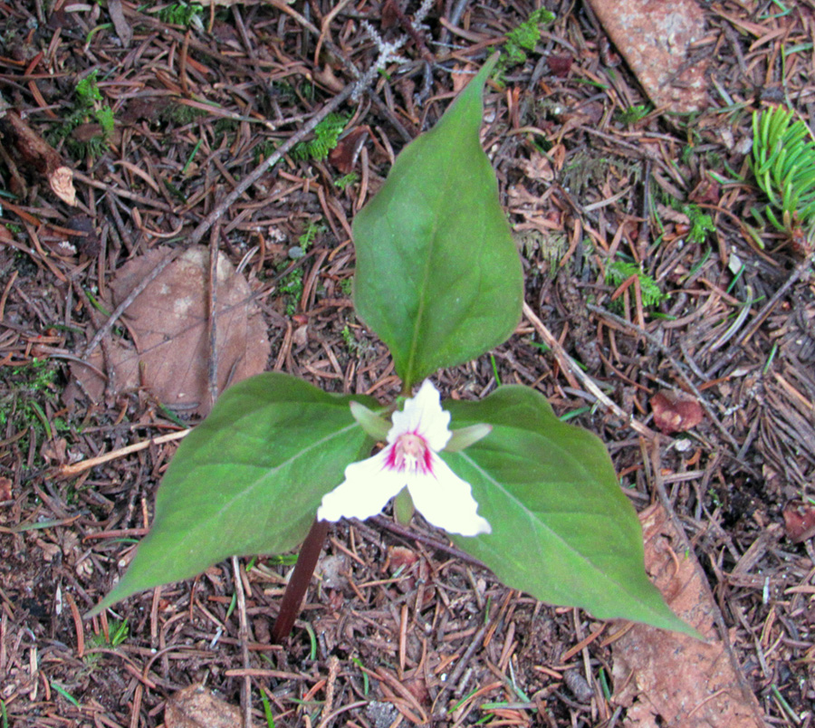
Soon, we came to the start of the lower ledges (the Blueberry Ledges after which the trail is named). Although they didn’t require any difficult climbing, these large areas of exposed bedrock could have been extremely slippery if wet. All around, on islands of vegetation scattered amongst the smooth ledges, grew numerous blueberry bushes although they were still a ways off from being ripe. After the Blueberry Ledges ended around 2100 ft (at the upper junction of the Blueberry Ledge Cutoff), there's a long steep and rough section with many rock steps.
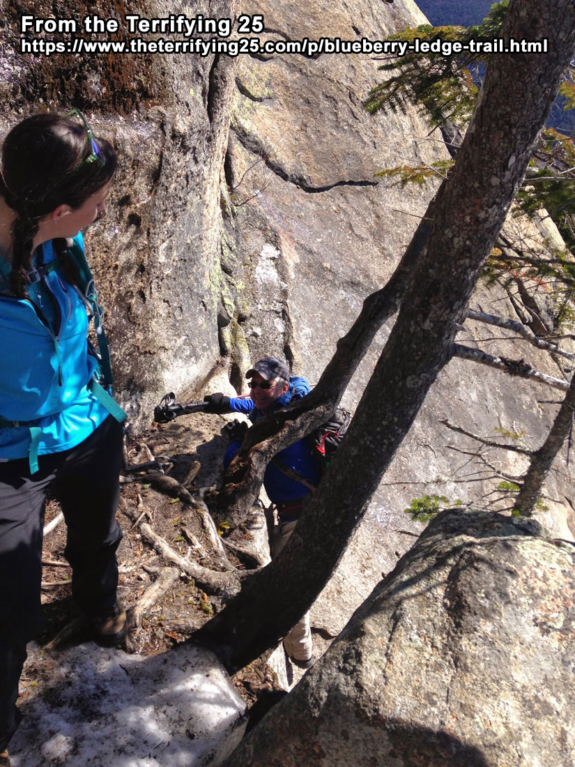
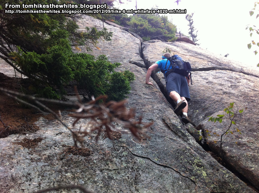
The real fun began above the junction with the Tom Wiggin Trail. This is where the steep upper ledges began, and that continued all the way up to Mt Whiteface's South Summit ledges. The White Mountain Guide warned that "This trail is still one of the more challenging climbs in the White Mountains. It is particularly difficult on the descent, and even more difficult when wet, and dangerous in icy conditions." The first upper ledge sloped down to a sheer dropoff into the void below. Luckily, the path up hugged the inner edge of the ledge, where tree roots and branches provided some handholds. If it had been icy, a slip straight down the middle could have easily propelled a climber to a nasty, or even deadly fall.
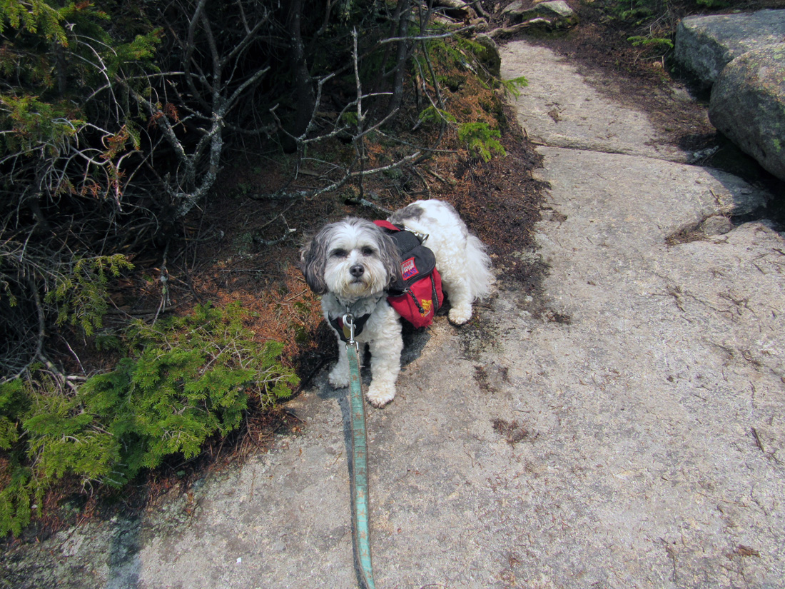
The second upper ledge, however, was actually a much tougher climb. From the bottom, it wasn't initially obvious which was the best route up. Heading straight up the middle would have meant climbing a smooth slope that gradually steepened the higher it got. Using smearing techniques with rock climbing shoes may have done the trick here, but this was clearly not the best way up. After clearing the first steep pitch to a relatively level area, it became obvious that turning left to hug an opposing cliff was the intended route. As usual, Patches had an easier time gripping the smooth surface of the ledge while I used roots, branches, and rock handholds to work my way up.
My own photos of the ledges didn't come close to doing them justice, so I've included some pictures from other hikers that do a far better job of portraying the steepness of the upper ledges than my own pictures do. Each picture contains a photo credit and a link to the website from which I obtained it.
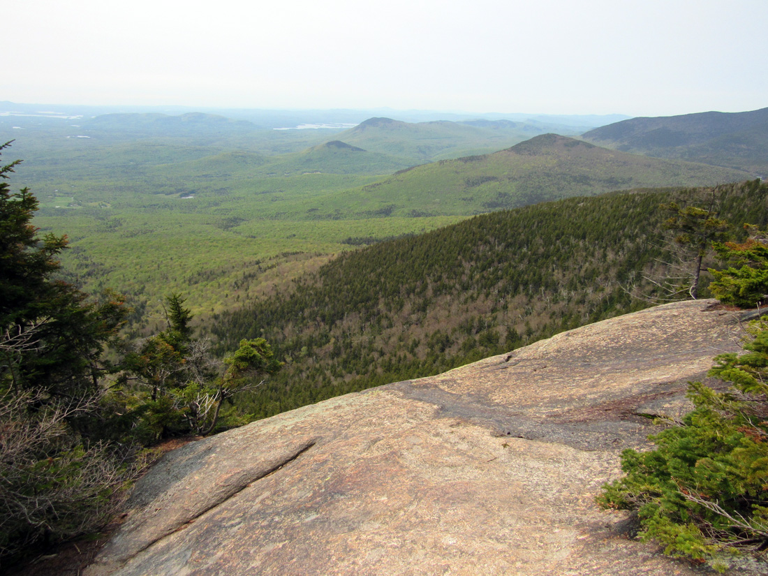
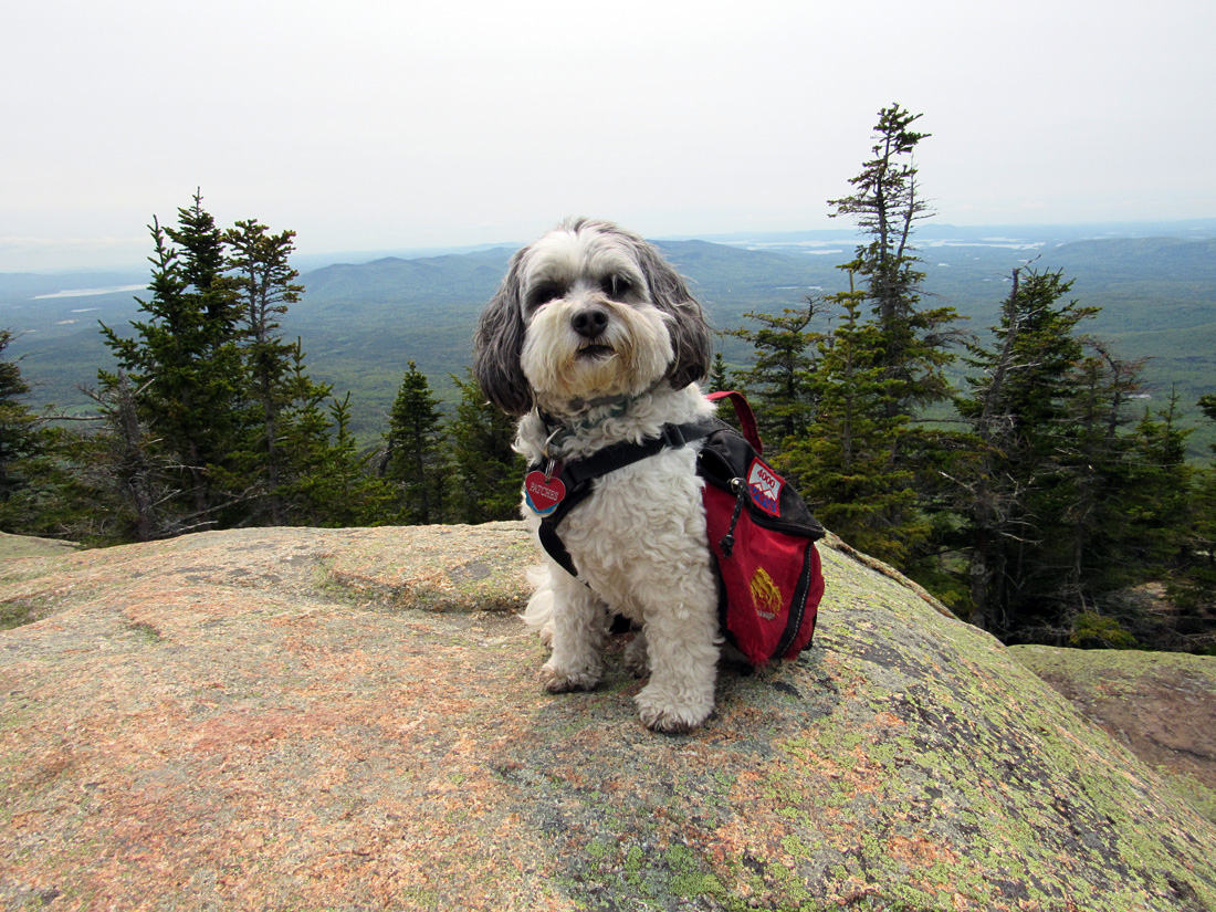
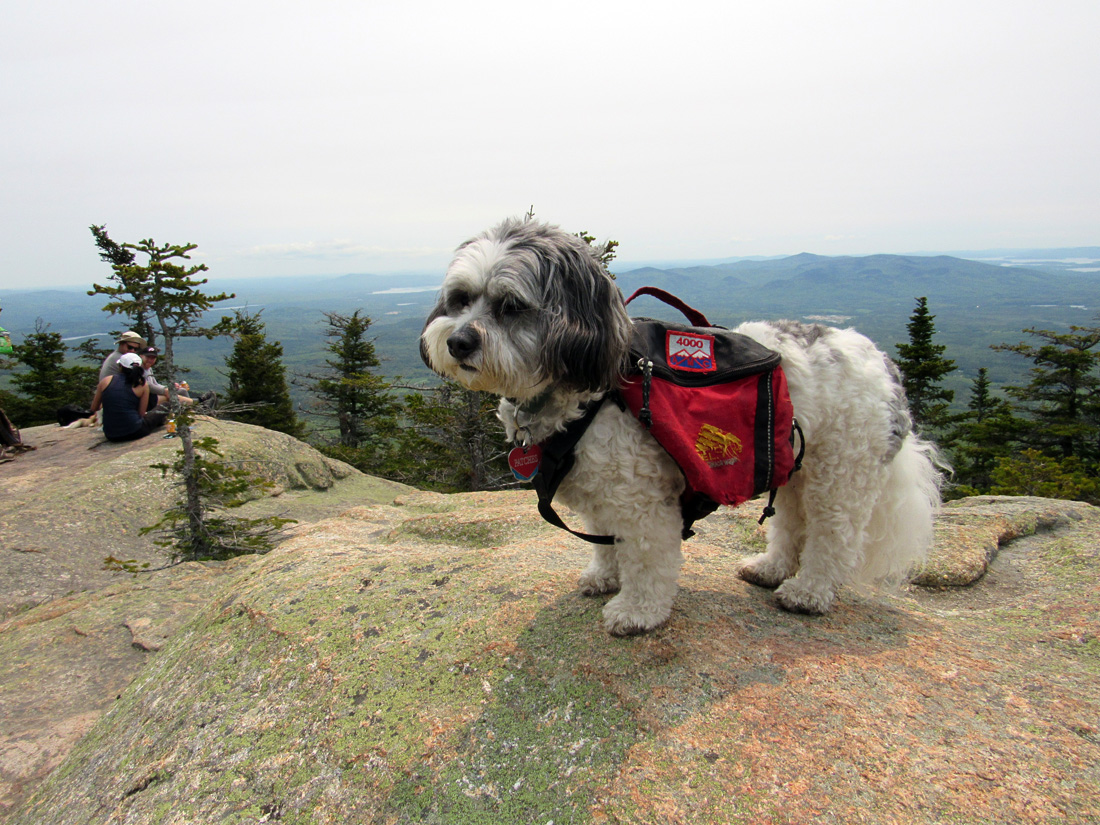
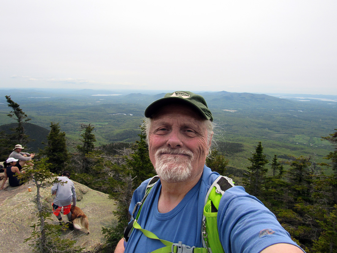
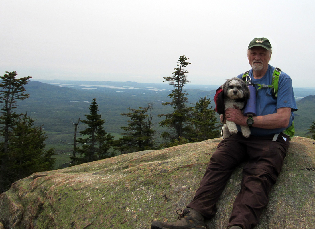
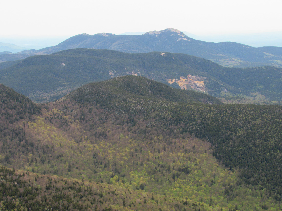
Subsequent ledges had varying degress of difficulty and challenges such as graduated steps/handholds up a cleft in the rock, and a crack that facilitated climbing a smooth surface. Progress was slow but we finally made it to the South Summit, where we rested, had lunch, and took pictures of ourselves and the views (actually, I took all of the picture; Patches isn't very good holding the camera). The summit ledges faced southwest. I didn't know this part of the mountains very well, but the low peaks in the hazy distance may have been the Squam Range, which of course, would have hidden most of Squam Lake from our view.
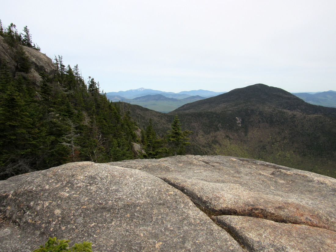
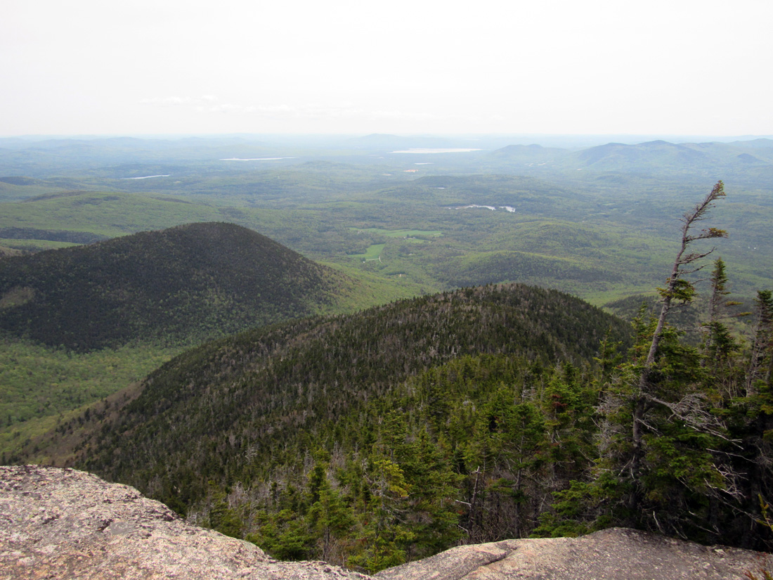
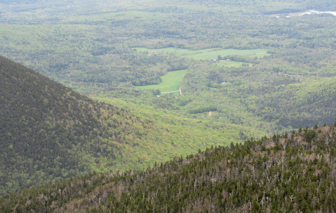
After a quick trip along the Rollins Trail toward the higher wooded and viewless summit of Whiteface, we started back down the way we came. I was a bit leery of descending the ledges so was careful to not take any chances and to help Patches where necessary. I opted to slide on down some of the smooth ledges on my butt, which seemed the safer choice. On our way, I took time to admire the views and to take pictures from some of the other upper ledges. One large open ledge provided great views of both Mt Washington and the Ferncroft Rd area far below.
Besieged by blackflies after descending from the upper ledges, we hurried along the trail as quickly as we could to reach the bugless safety of our car, and then headed home again. This was Patches' 34th 4000-Footer. She now had only 14 left to go. |
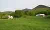
Mt
Whiteface (at left) and Mt Wonalancet (at right) from Ferncroft Rd near
the parking area. |
|