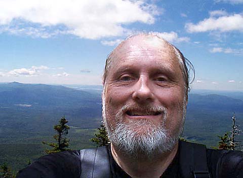
Shortly
after passing Camp Heermance, I reached the south summit ledges of Mt
Whiteface at the junction of the McCrillis Trail. While not quite as high
as the true summit a short distance to the northeast, it was more
spectacular, and there were good views to the west and south. I stopped
for lunch (peanuts and Fritos) on the highest ledge, enjoyed the sun and
views, fended off the annoying blackflies, then headed down the Rollins
Trail toward the true summit of Mt Whiteface and the ridge to Mt
Passaconaway.
The
Rollins Trail left the south summit, losing about 100 ft of elevation,
then met the Downes Brook Trail at the site of Camp Shehadi, another log
shelter that looked almost identical to Camp Heermance, and in about the
same state of repair. From here, the Rollins trail rose slightly to the
true summit of Mt Whiteface, which was wooded and not particularly
interesting.
I
continued down the Rollins Trail, which followed the 2-½ mile long ridge that
runs between Mt Whiteface and the base of the Mt Passaconaway summit cone. The Rollins
Trail reminded me a bit of the Twinway. There were minor ups and downs,
and a sheer but tree-lined drop-off into a glacial cirque known as The
Bowl on the right. About 15 minutes along the trail, I passed a
mother/daughter team doing trail maintenance. After that, I only saw a few
birds and small animals, including a toad. I also saw a number of trees
that were deformed by the weather.
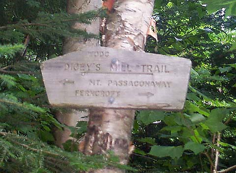
After
gently dropping about 800 ft, the Rollins Trail rose again to meet the
junction with the Dicey’s Mill Trail. I stopped for a snack, and watched
a chipmunk running around in the brush by the side of the trail. |
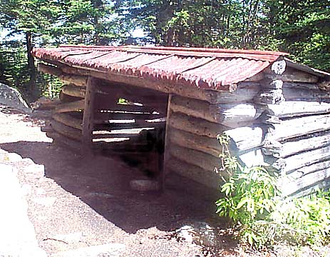
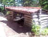
Camp
Heermance. One of three Adirondack-style log shelters maintained by the
Wonalancet Outdoor Club, Camp Heermance was in poor repair. It was still
in better shape than Camp Rich though, which had recently collapsed. |
|
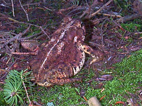
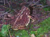
Toad on
the Rollins Trail. Besides birds, this toad is one of the few animals I
generally see while climbing or backpacking in the White Mountains. Most
of the larger animals, like moose, deer, or bear, usually stay safely out
of sight. |
|