|
There
weren’t a lot of trees in this sunny and open ledgy area, but there were
clusters of mountain ash and other small trees and shrubs in little groves
among the exposed rock face.
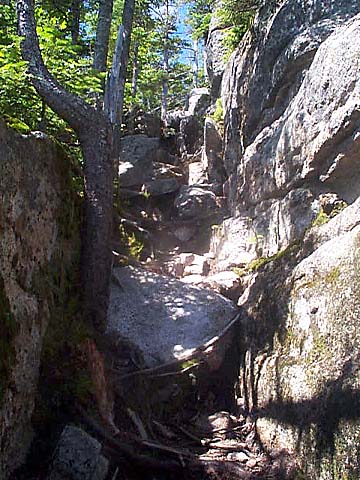
After
passing the Blueberry Ledge Cutoff junction, the lower ledges ended and
the trail wound back into the woods again. Finally, I reached the Tom
Wiggin Trail junction where the steep upper ledges begin. The upper ledges
required a good bit of rock scrambling and climbing. Since I needed both
hands, my poles were in the way, and I strapped them onto my backpack.
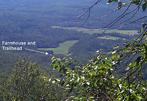
After each ascent up a ledge, I’d come out onto the open rock face with
a sheer drop-off below, and great views to the east and south, including a
look at the now tiny white farmhouse by the trailhead.
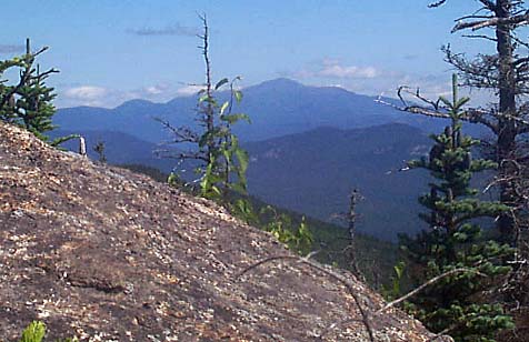
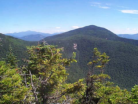
On one of the higher ledges, there was a good view of Mt Passaconaway and the
ridge that connects it to Mt Whiteface, which I would soon be passing over
on the Rollins Trail. On another large smooth ledge, there were extremely
clear views northeast to Mt Washington and other peaks in the
Presidentials.
Near
the top of the trail, I came to a spur trail to Camp Heermance, a small Adirondack-style
log shelter with an aluminum roof that is maintained by the Wonalancet
Outdoor Club. It was not in good repair, and did not look particularly
inviting. |
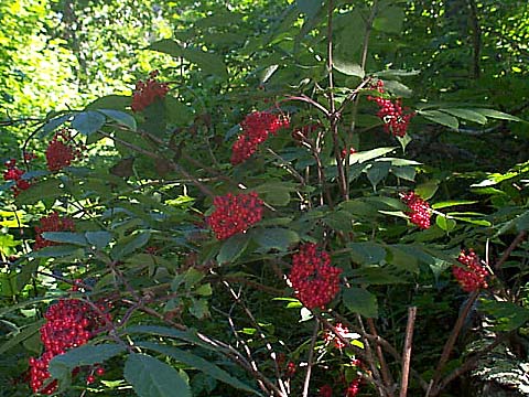
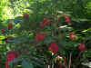
Mountain
Ash on the Blueberry Ledge Trail. There were many small trees and shrubs
growing among the rocks on the sunny lower ledges. |
|