|
The Huntington Ravine Trail is definitely
not a good trail to use for descent. It's much easier climbing up steep
rock than getting down it. I planned on taking the Tuckerman Ravine
Trail back down, which made a nice loop back to my car. I was looking
forward to see whether any snow or ice was left in the ravine. There had
still been a rather large patch when I climbed up that way in June.
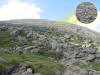
It was a quick trip rock-hopping down the
summit cone. Around the junction with the Lion Head Trail, I began to
pass members of a Boy Scout troop on their way up. They were mostly
younger kids, and were strung out along the trail almost all the way
down to Tuckerman Junction. The kids in the back, were moving rather
slowly. The leader who was in the back with the slower kids said that
they were going to take the Stage (Mt
Washington Auto Road van) back down since they were running out of
time (and with some of them, energy) to descend before dark.
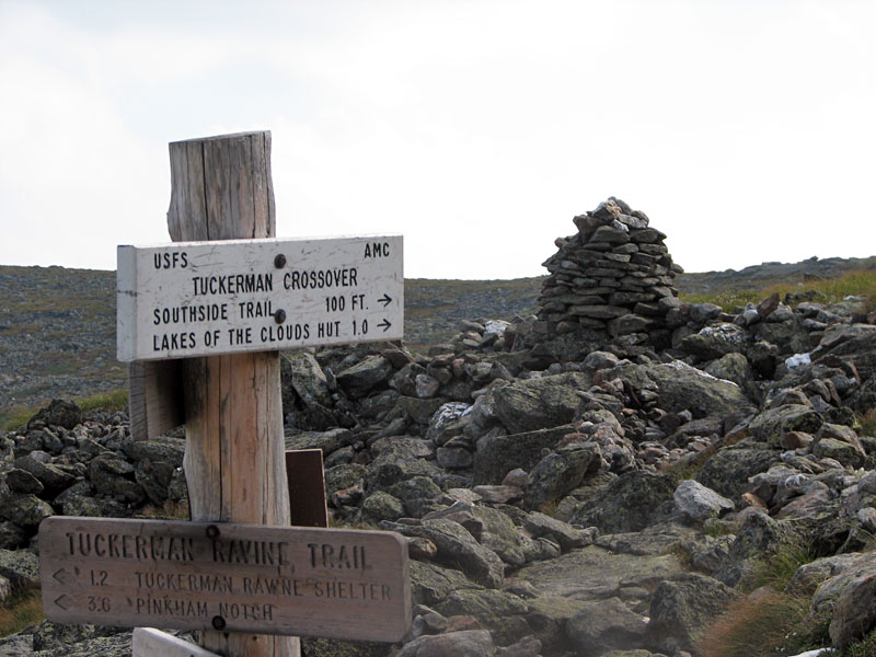
I stopped at Tuckerman Junction to take a
picture. There were quite a few hikers on their way up, and I could see
their tiny forms, far off, making their way slowly up the trail. Some of
them were barely visible to the naked eye, but I got a pretty good
closeup shot with the zoom lens on my camera.
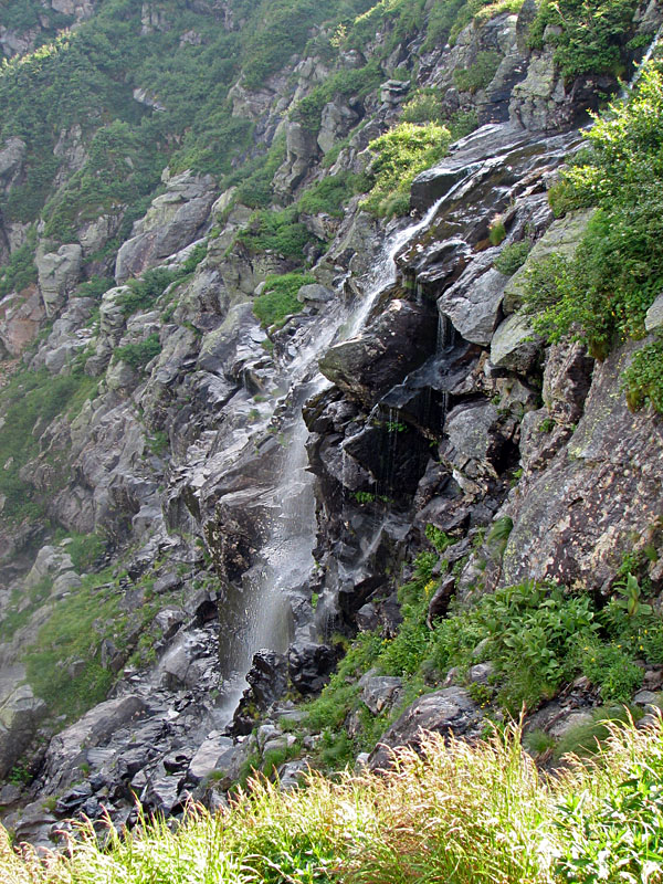
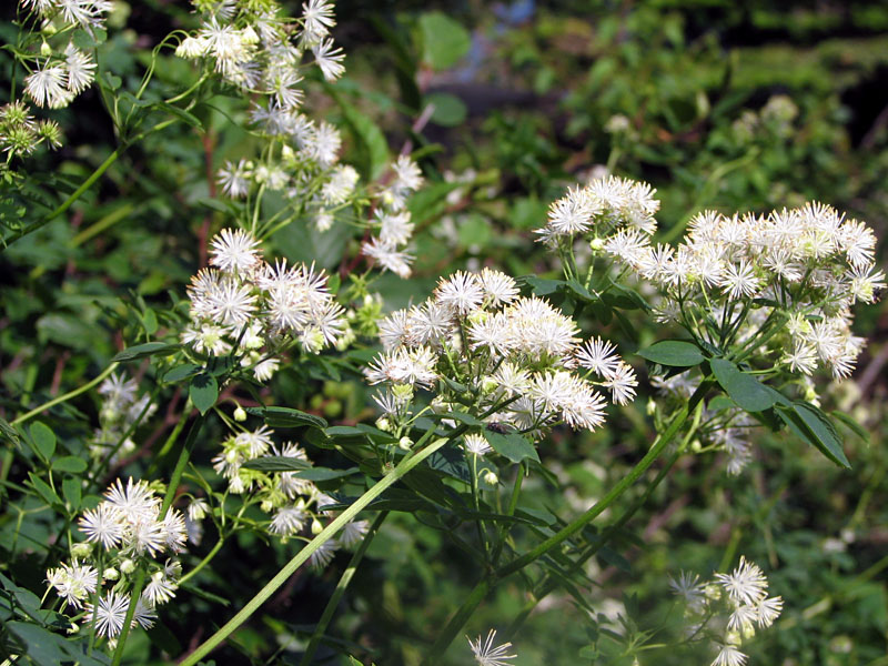
After descending below the lip of Tuckerman
Ravine, I was once again treated to the pleasant sight of growing
flowers and trees, and the sound of cool waterfalls cascading down the
rocks. It can seem pretty desolate above treeline after being up there
for awhile. And on a hot day, there's not much escape from the burning
sun.
About halfway down the headwall, I met a
young Orthodox Jewish couple still on their way up. The girl was wearing
a long black skirt down to her feet. Not unlike the outfit that Lizzie
Bourne probably wore, I couldn't see how she could climb very well in
it, although I'm sure that it was a lot lighter than Lizzie's clothing,
which was all woolen, which tends to soak up moisture and get heavier as
the day progresses. I cautioned them that the summit was still quite a
distance above, and then we both went on our way.
I was worried that they would be stuck
somewhere up on the mountain when it got dark. However, a little while
later, I met another hiker who was also on his way up. He, too had met
the couple, and said that they were really breezing by. Apparently,
they, like himself, were planning on taking the Stage back down. So I
guess I had nothing to worry about after all. They were apparently a lot
faster than I had expected them to be in their old-fashioned clothes.
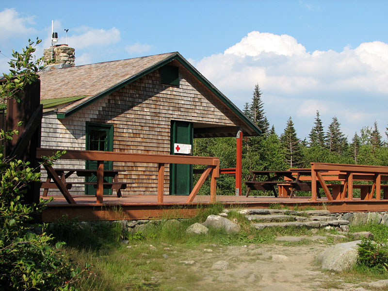
When I reached Hermit Lake, I stopped in the
cabin to buy a Tuckerman Ravine t-shirt, something I had missed doing on
my last trip because I had come down Lion's Head. From there, it was a
fairly quick walk back down to Pinkham Notch, and I was soon back in my
car and on my way home. It had been a long, but successful and rewarding
day. |