|
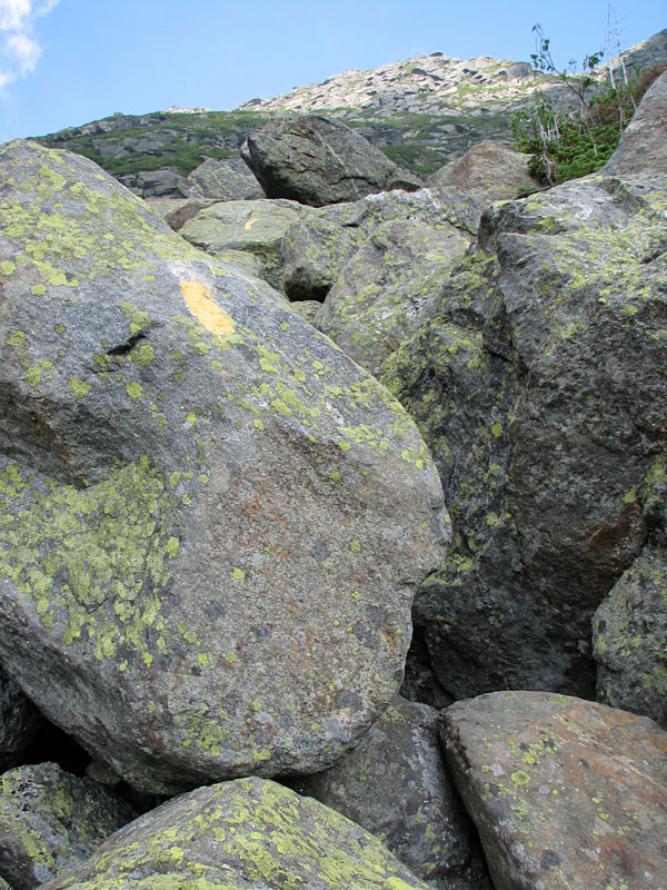
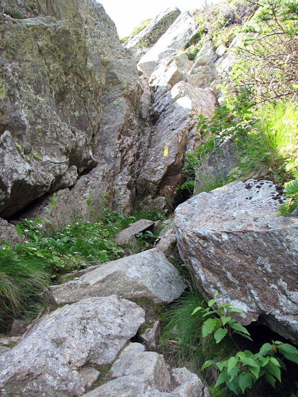
The lower part of the Fan was a jumble of
massive boulders, not unlike the terrain in King Ravine. As I climbed
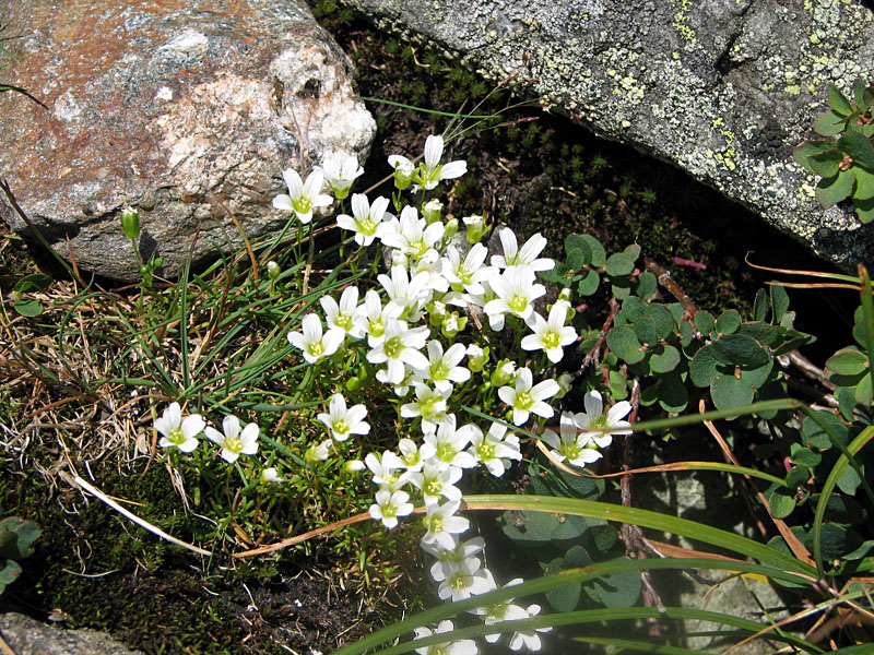
higher, the rocks gradually became smaller. A variety of wildflowers
grew among them, including three-toothed cinquefoil and mountain
sandwort.
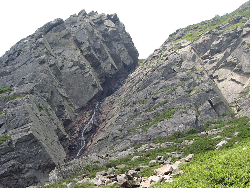
About three-quarter of the way up, I got my
first good look at Pinnacle Gully, one of the most popular rock and ice
climbing areas in the ravine. Pinnacle Gully arises out of the left side
of Central Gully. You can't see it from down below as it's hidden by the
Pinnacle Buttress, a feature that rock climbers love to tackle. A thin
twisting waterfall tumbled down the center of the gully.
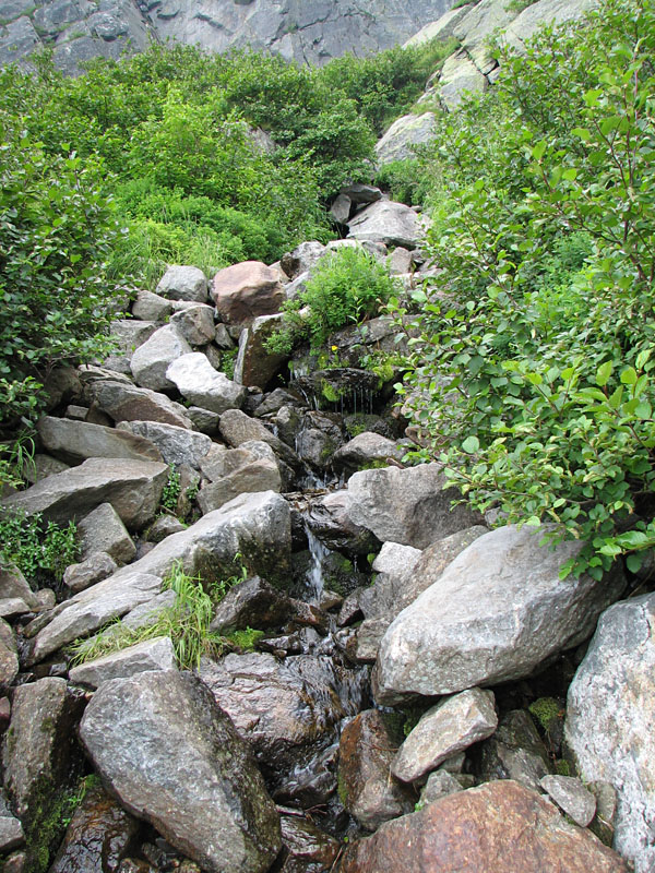
A bit further up the trail, I came to
a spot where a small brook had taken over the trail. I figured that this
was a good chance to fill a water bottle with nice cold water, so I took
out my filter and pumped enough to fill a bottle, and then refill it
again after quickly gulping down half of it.
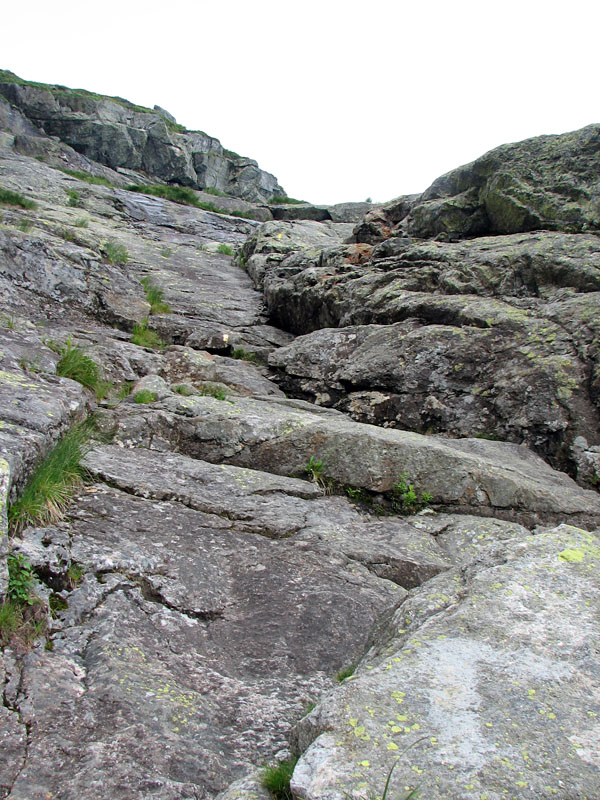
At the top of the Fan, just before entering
Central Gully's large dihedral (inside corner), the trail turned sharp
right to cross the brook and began ascending a steep smooth slab. At
this point, I stopped to change into my rock climbing shoes and collapse
my climbing poles, stashing both inside my pack for later.
For a short distance, there were no
appreciable handholds, but I leaned forward and advanced slowly,
smearing the smooth surface of the rock with the full sole of my shoes.
After that, there was a nice crack to wedge my fingers into, and I soon
emerged at the top of this first pitch, which some have referred to as
the crux of the climb.
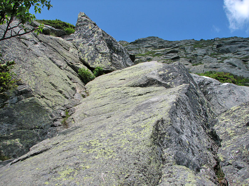
Above that were several more slabs, but
these had more options for handholds and/or nice rough dihedrals to
wedge my toes into, so they were no real problem beyond the exertion of
steep climbing.
At one point in this series of slabs, I met
a group of rock climbers on their way down. They appeared to be a class,
probably on their way to the Pinnacle. One of the leaders commented on
my rock shoes, saying that I was smart for wearing them. Most hikers
don't wear rock shoes on the Huntington Ravine Trail, and they aren't
really required, but I was more comfortable wearing mine, and I'm
certain that the greater traction they provided made my climb more
enjoyable.
As I ascended higher, the trail evened out
somewhat, although there were still a few interesting spots. At one
point, which I personally considered the crux move, there was a shallow
chimney. At first, I thought that it might be easier climbing up the
small buttress to the right of the chimney, but I finally decided that
the chimney itself was a better route, as I could wedge the edges of my
shoes in the crack and push out against the sides with my hands.
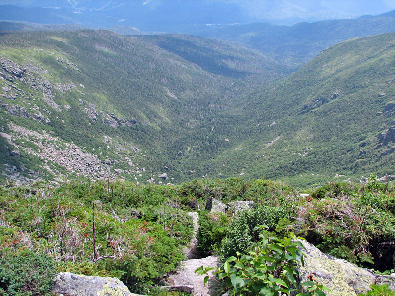
Beyond that point, the climb became
significantly easier, and before I knew it, I emerged out of the ravine
onto the Alpine Garden. |
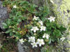
Three-toothed
cinquefoil. This wildflower tends to grow in exposed rocky areas
such as Huntington Ravine. |
 |