|
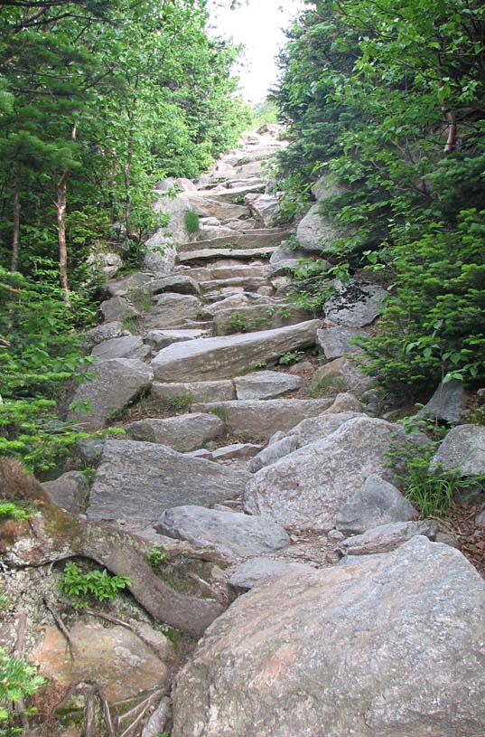
The trail got much steeper above Hermit Lake
as it made it way to the upper floor of the ravine, which is over 600
feet above the ranger station. The upper floor is avalanche territory,
although most of the snow was now gone, and there was no snow or ice
hanging from the cliffs on the sides of the ravine.
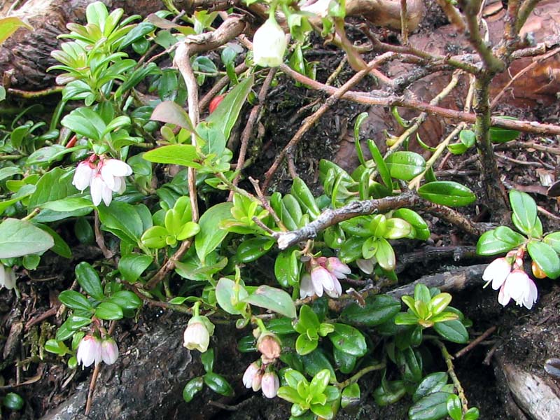
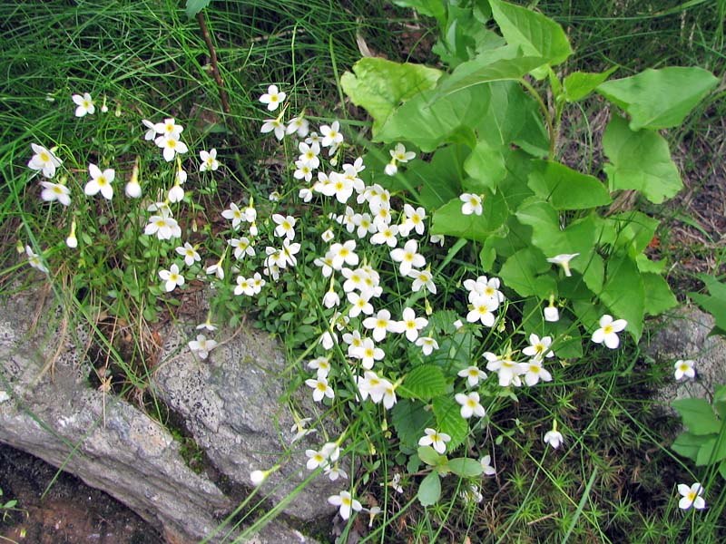
Another thing that I was excited about was
the alpine flower season. I was hoping that most of the alpine plants
would be in bloom, as I always seem to miss the short flowering season.
Many were in bloom, at least in the area just below or at treeline. I
never ventured into the Alpine Garden to get a look at those legendary
blooms, although I heard that some flowers, including diapensia, were
now past their prime. But along the Tuckerman Ravine Trail, among many
others, I saw mountain cranberries, alpine bluets, and a myriad of the
ubiquitous bunchberries, which seem to grow at almost all elevations.
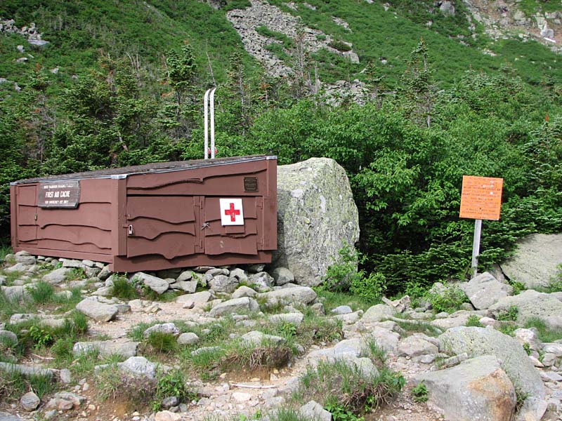
In
the upper ravine, near the area that skiers call the lunch rocks,
there's another first aid cache
along the trail.
Several of these emergency caches are scattered throughout Tuckerman
and Huntington Ravines. I saw at least one more further up but a
ways off the trail. Most of them are located behind some protecting
rocks, although I imagine that a large enough avalanche would not leave
them untouched.
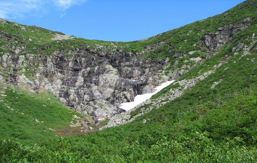
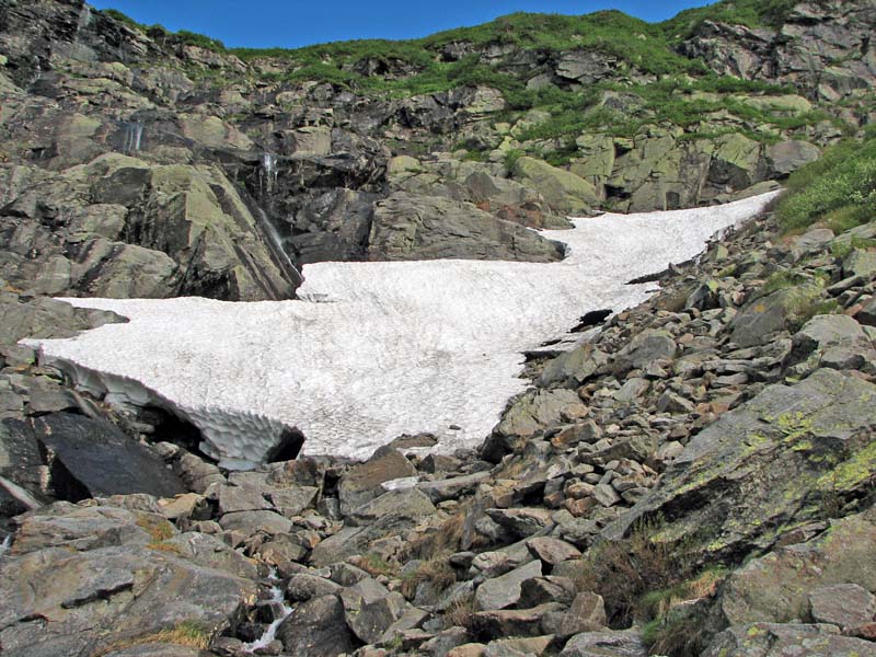
Now that I was higher up in the ravine, I
could see the lingering patch of snow at the base of the headwall where
a snow arch sometimes forms. The snow arch wasn't there when I passed
by, but may have been earlier in the year.
The remaining patch of snow, however, was a thick glacier-like sheet at
least four feet thick. Water ran out from under it, and a gaping hole at
its edge exposed the rocks underneath.
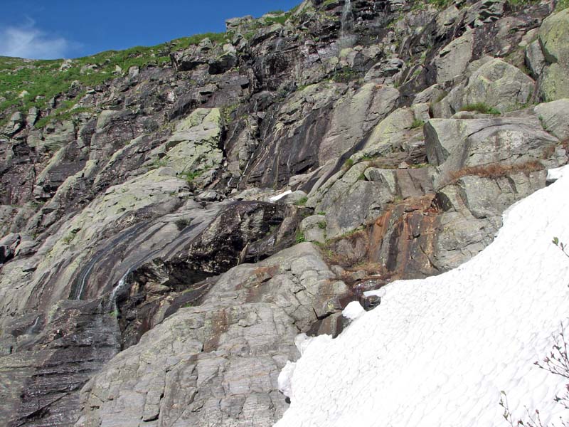
The trail curved to the right of the main
body of the ravine, ascending the headwall on the north side, just
skirting above the dangerous precipices and slippery rocks. Looking
across at the headwall, I could see numerous waterfalls cascading down
the steep rocks.
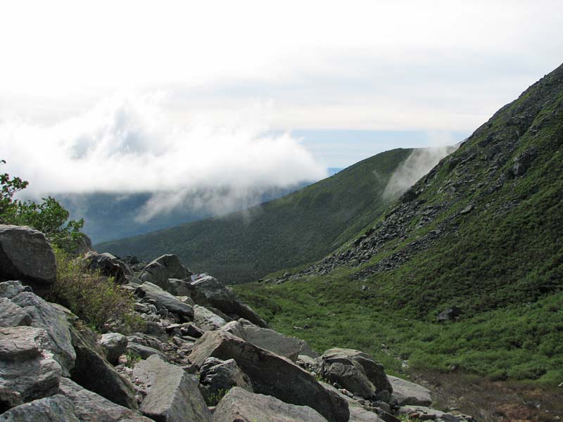
Back down toward Hermit Lake and Pinkham
Notch, as often occurs in the mountains, low clouds had begun to hug the
hollows near the bases of the ridges. They did not prove to be threatening
though, as the weather remained sunny and clear above treeline. |
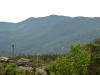
The Wildcats and
the Wildcat ski area from the Tuckerman Ravine Trail. |
 |