|
Our
first stop was the Sherman Adams visitor center, where a friendly
employee let us bring Muffin down to the hiker's room in the basement.
We were pleased that all of us would get a chance to dry off. After
feeding Muffin and changing into dry shirts, we went upstairs for a snack.
While sitting at a table near a north-facing window, the clouds suddenly
parted, and the Northern Presidentials came into full view. For a while,
the mists drifted in and out, then they lifted for good. I was
particularly excited because I hoped that Toi would be able to see the
"views from the top".
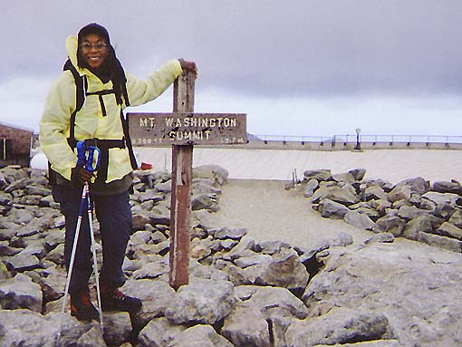
Next,
we stopped by the observatory's gift shop to buy our "This Body
Climbed Mt Washington" t-shirts, then rested a while longer in the hiker's room with Muffin and
got our
things organized for the return trip. Outside, we battled the crowds, most
who had either driven up or taken the cog railway, for a opening to take
the obligatory summit photo.
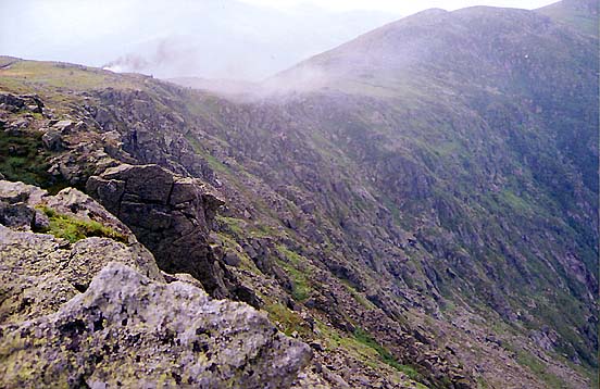
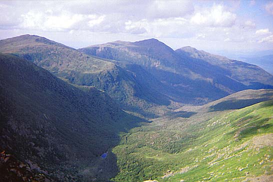
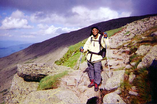
On
the way down, we followed the Crawford Path to the Gulfside Trail, passing
over the slightly-elevated cog railway tracks. I really enjoyed the views
down into the Great Gulf, but Toi wasn't so sure. Her wariness of heights
kept her way back from the edge.
By
the time we reached the Jewell Trail, the weather had completely cleared.
But the extra time spent waiting out the rain in the hut and drying off at
the summit had upset our timetable, and we were concerned about beating
the approaching nightfall. Even though we were carrying headlamps, Toi
doesn't see well in the dark, and didn't want to stumble over some hidden
root or rock.
Compared
to the Ammonoosuc Ravine Trail and Crawford Path route, this path
covered much more exposed, rocky above-treeline terrain. And the
still-damp boulders made for a slower and more careful descent.
Not
longer after we passed the side path to the cog railway base station,
darkness finally overtook us, and we stopped to dig out the headlamps.
Toi's had somehow turned on inside her backpack and its batteries were
dead, so we made do with just my LED lamp. But there were no mishaps, and
we shuffled out of the woods and back into the parking lot around 9:00 PM,
then drove down to North Conway for a well-deserved supper at one of the
few places still open, Subway.
|
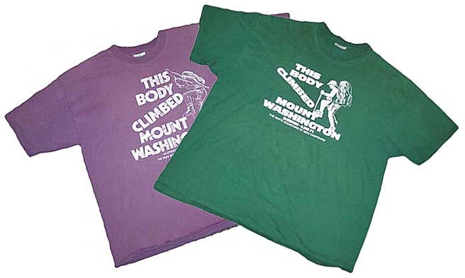
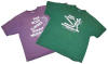
"This
Body Climbed Mount Washington" t-shirts from the Observatory
gift shop. The purple shirt is an older style from 1999. The green
shirt is the 2003 version. |
 |