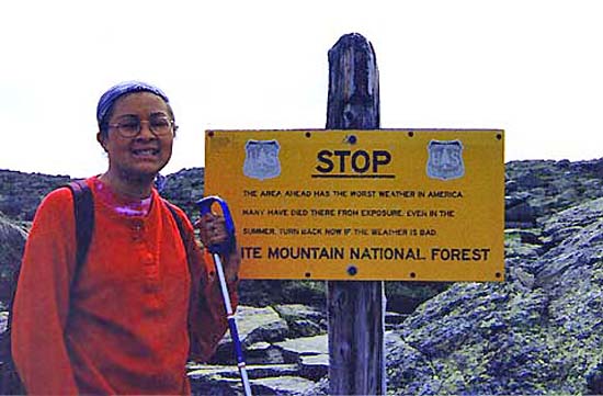
We started up the Crawford Path. A short distance above the hut, we
saw one of the infamous weather warning signs, and stopped to take a
picture. The weather was good, so we continued on.
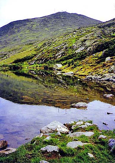
Right near the sign was the upper Lake of the Clouds. It looked
pretty with Mt Washington in the background. The alpine vegetation was
very green, and there were a few tiny flowers blooming in some places. We
couldn’t see the larger lower lake very well, which was hidden by the
slope of the land.
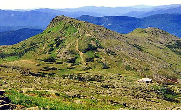
The first part of the Crawford Path climbed moderately up the
ridge, passing both lakes and the junction with the Tuckerman Crossover
Trail. It then continued moderately over talus slopes toward the summit
cone. Partway up, we turned around and could Lakes of the Clouds Hut and
Mt Monroe in the distance.
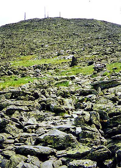
In
many places, it would have been difficult to follow the Crawford Path if
there hadn’t been cairns to mark the way, as we picked our way over the
scree. Some of the cairns were topped with white rocks that looked like
either marble or milky quartz. They looked like miniature lighthouses
guiding us up the mountain.
After
passing the Davis Path, the trail became steeper and we had to
be careful hiking over the rocks. The summit got closer and closer,
and finally we were there. It took us about an hour and a half
to climb from the hut to the top of Mt Washington. The first thing
we did was go into the visitor’s center and call home, because
I promised to call from the summit. Then we had lunch – soup,
crackers, and sodas. After eating, we visited the Observatory
gift shop downstairs, and bought some t-shirts. It felt strange
being on the summit with all the tourists who drove up, or took
the Cog Railway
or the "stage".
The stage used to be horse-drawn carriages in the old days; today,
they use vans instead.