|
Like Mt Monadnock, Mt Wachusett is one of
those peaks that stands alone in the rolling uplands of north-central
Massachusetts and southwestern New Hampshire. I've climbed it many times,
at least once on every trail, and multiple times on most of them, and in
all kinds of weather, including at night. It's good training for hikes in
the White Mountains.
Since Toi and Holly were going to be working
in the afternoon at a Girl Scout information booth at a Kid's Fair at
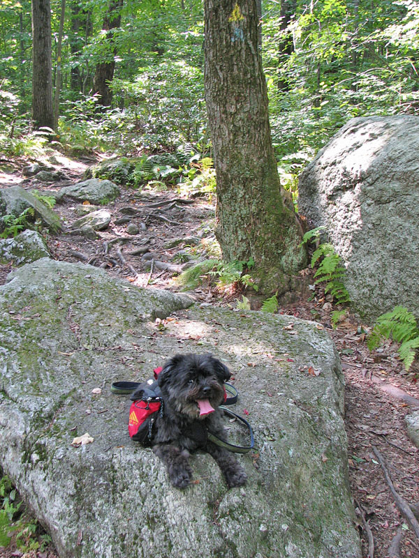
the Mt Wachusett Ski Area, it seemed like a good time for Muffin and I
to climb the mountain a couple of times. Since we were parked at the Ski
Area, the Balance Rock and Old Indian Trails seemed like a good start to
the day. They also provide the greatest elevation gain (1000 ft) of any
direct route to the summit.
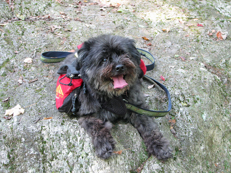
The Balance Rock trail is mostly gentle, and
somewhat rocky, and ends at the appropriately named Balance Rock, a huge
boulder balanced on top of another. It was also a good place for our
first rest. It was a warm day, and Muffin hadn't done a lot of hiking
since she hurt her leg getting into the car last year, so we took
frequent water breaks to rest her leg and help keep her from getting
overheated.
From there, we continued up the Old Indian
Trail, which becomes fairly steep after it crosses the auto road, and
then moderates the rest of the way to the top.
The Mt Wachusett summit area is open and ledgy, with
good views in most directions, particularly east toward Boston, but it was
a bit hazy that day, and also very crowded because many people either
drove up or rode on the ski lift. There were also a number of
birdwatchers who had come to spot hawks, as several different hawk
species visit the mountain, particularly in the early fall.
The crowds got to me fairly quickly, so we
didn't spend too much time at the summit. We headed down the southwest
side of the mountain on the steep Harrington Trail until we
reached the Link Trail, and then cut over to descend the rest of the way
via the Mountain House, Loop, and Bicentennial Trails until we reached
the bottom of the Pine Hill Trail.
The Pine Hill Trail, an old ski trail, is the
shortest and most direct route to the summit from the State Park
headquarters on the southeast side of the mountain. Since I had been
here last, the trail crew had done a lot of work on the Pine Hill Trail,
putting in new rock steps and drainages. Unfortunately, this also seemed
to make the trail a little less interesting and challenging, especially
on the middle ledgy section.
After reaching the summit a second time, we
stopped just long enough for another water break, and then began descend
the Old Indian Trail, deviating from the path to follow the West Side
and Semuhenna Trails back down to the lower junction with the Old Indian
Trail. From there, it was a short hike back to our car via Balance Rock
again. |