|
This was going to be a repeat of a hike I took by myself back in August of 2013, about a month after Muffin died and only two months before we got Patches. But this time, Patches was with me, and she was working on her 29th, 30th, and 31st Four Thousand Footers. We parked at the North Twin Trailhead and were planning on meeting up with a Shuttle Connection shuttle at the Gale River Trailhead to take us back to our car. I asked fior the shuttle to be there at 6:30 PM, which I hoped would give us enough time to make it.
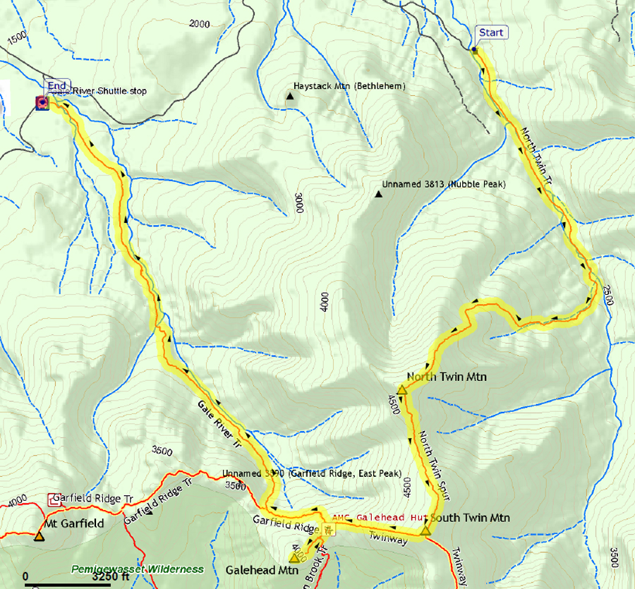
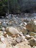
Not far from the trailhead, I opted to take the orignal route, rather than the newer bypass, on the North Twin Trail. The bypass avoides two crossings of the Little River but I remembered it as being quite rough and rooty, and I figured that the water level wouldn't be so high today as to make the river difficult to cross, And I was right; we had no problem crossing at either location.
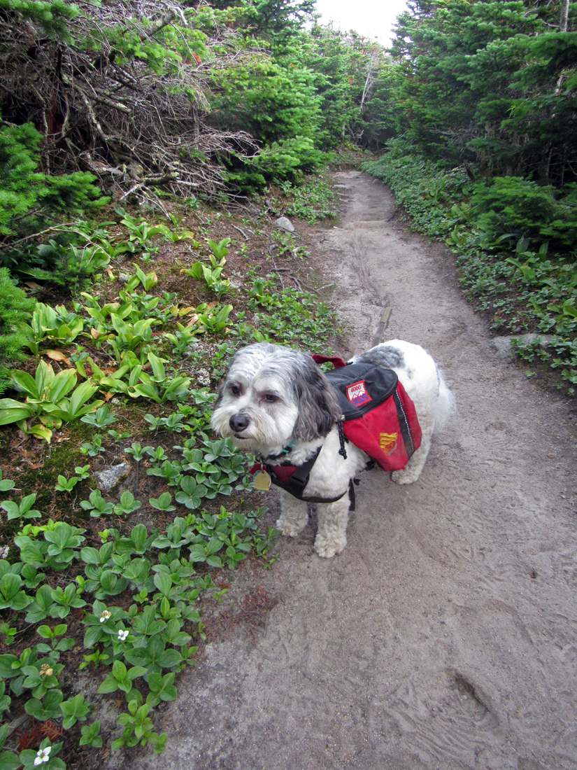
After the second crossing where the bypass rejoined the main trail, things quickly became quite steep, but we just kept on slowly making our way upward. I did feel better than on our last hike of the Tripyramids, which made me feel better about myself. Patches, of course, could have easily gone two or three times faster. After a couple of hours, I decided to stop for a rest and a power bar, and to give Patches her breakfast. I have to wait until we're on the trail before I can feed her anything as she tends to get carsick. And once we're out of the car, she can't wait to get moving, but she's usually ready after hiking for a while.
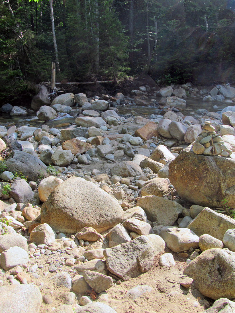
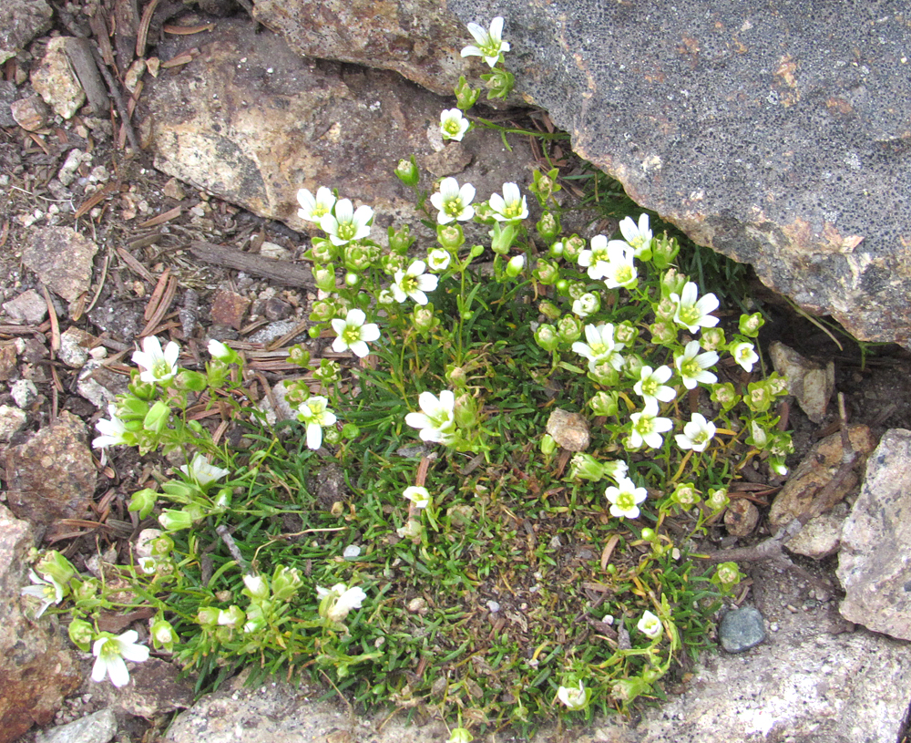
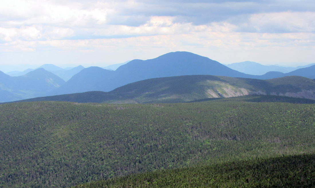
Continuing on our way, the trail soon began to moderate as we approached the long stretch of open ridge below the summit of North Twin. There were numerous excellent views from the ridge. As I remembered, this was a very pleasant section of the trail, and I stopped to take pictures of South Twin, some mountain wood sorrel growing along the trail, and Patches making her way through a narrow pass through the scrub.
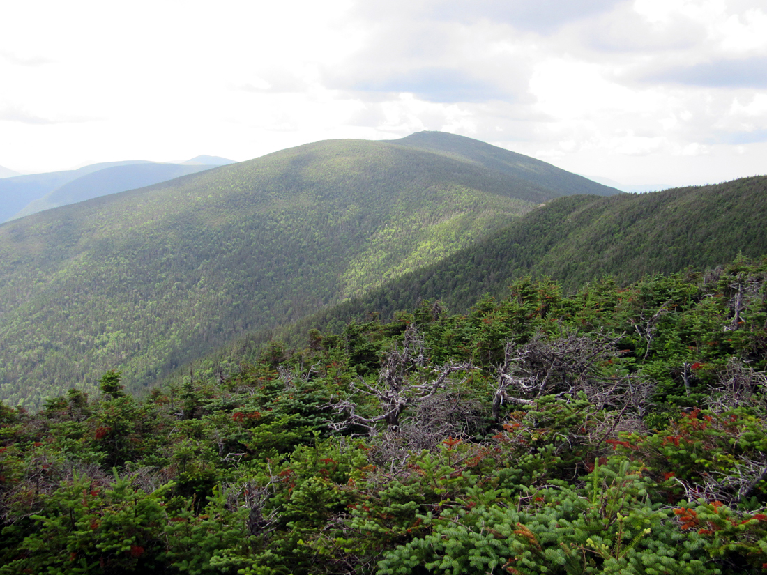
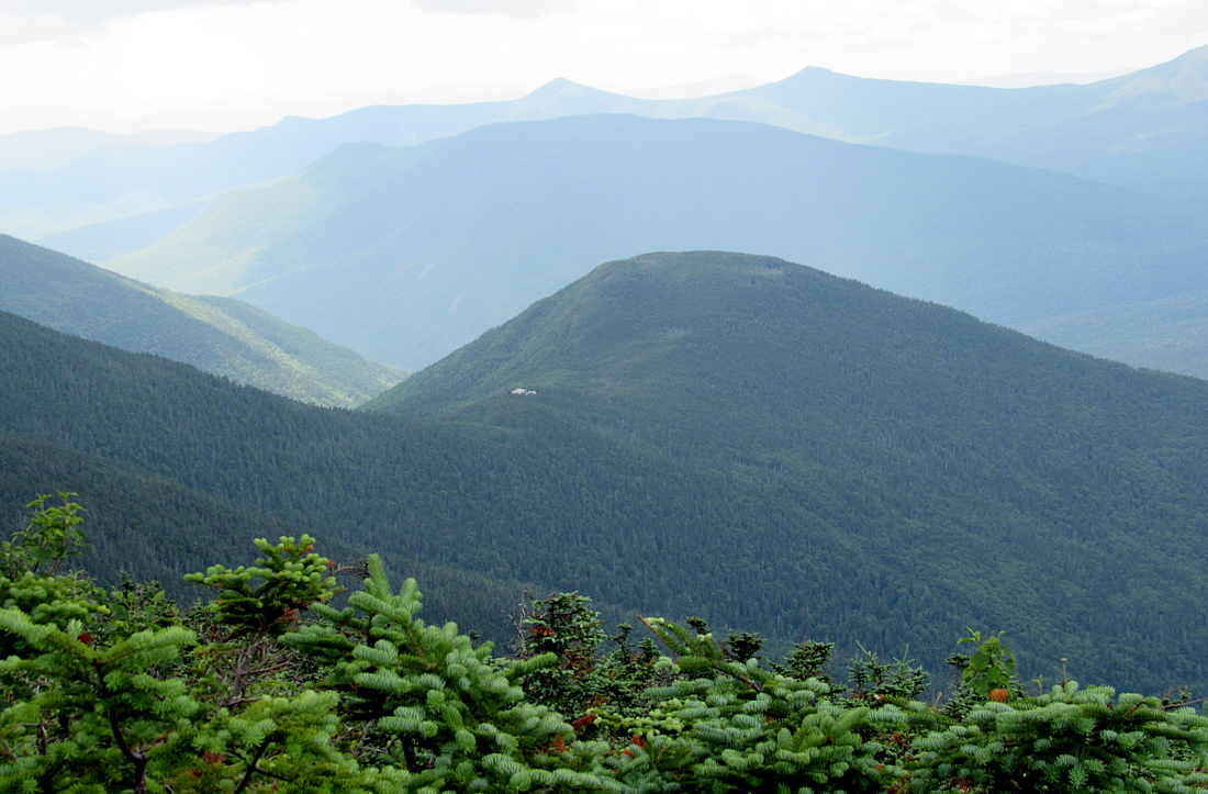
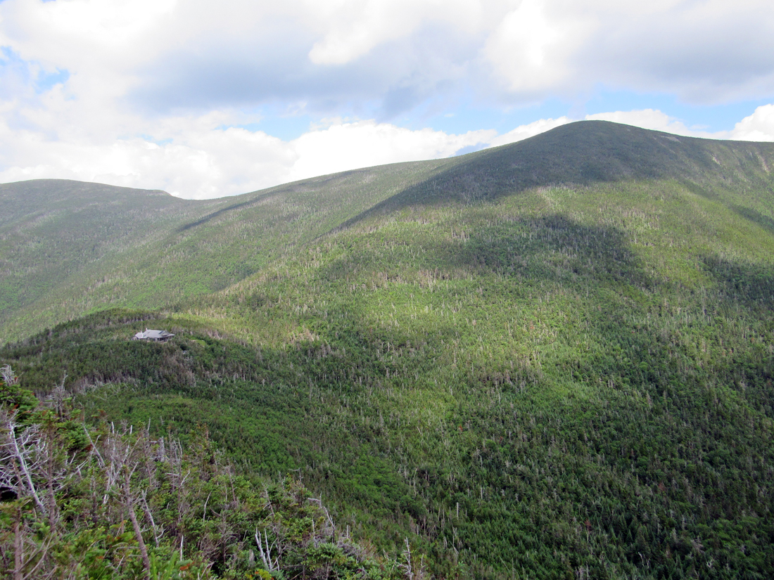
The wooded summit of North Twin was pretty much the same as I remembered it, as was the southwestern outlook down a short side path, which held expansive views of the western Pemigewasset Wilderness, including Franconia Ridge and Mt Garfield. To the south, there was a particularly impressive view down to Galehead Mtn and Hut, especially knowing that we would hopefully be headed that way soon. I say "hopefully" because the clouds were thickening and not looking very friendly. Although rain wasn't in the forecast, I knew that the weather could change any time up here in the mountains.
Knowing that we had a shuttle to catch at 6:30, we only lingered on the summit long enough for a short rest, to enjoy the view, and for Patches to eat another small tin of dog food. It's only about an hour's hike to South Twin (less if you're faster than I am), and most of the way along the North Twin Spur is fairly gentle as it passes through an open col, so I wasn't anticipating a tough hike. The trail descends somewhat steeply at first, but soon moderates. In the colm where we stopped so I could take a picture back up to the rocky south face of North Twin. The climb up to South Twin is not overly demanding, and the hike was quite pleasant.
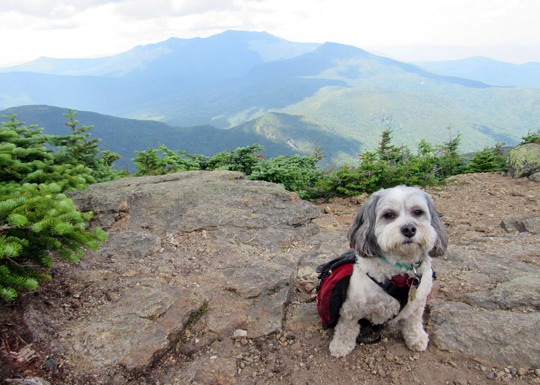
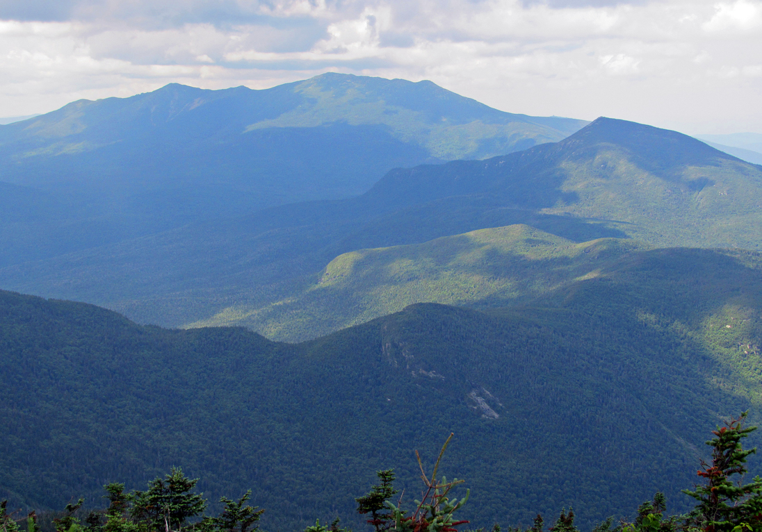
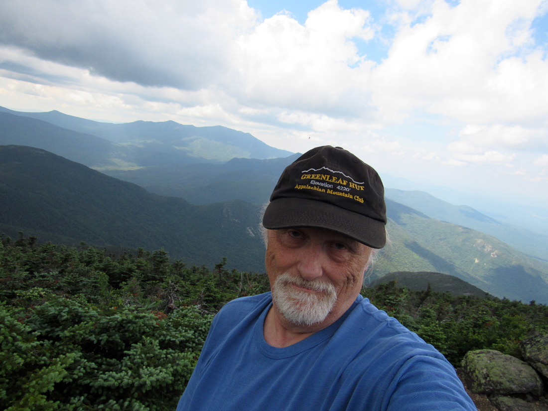
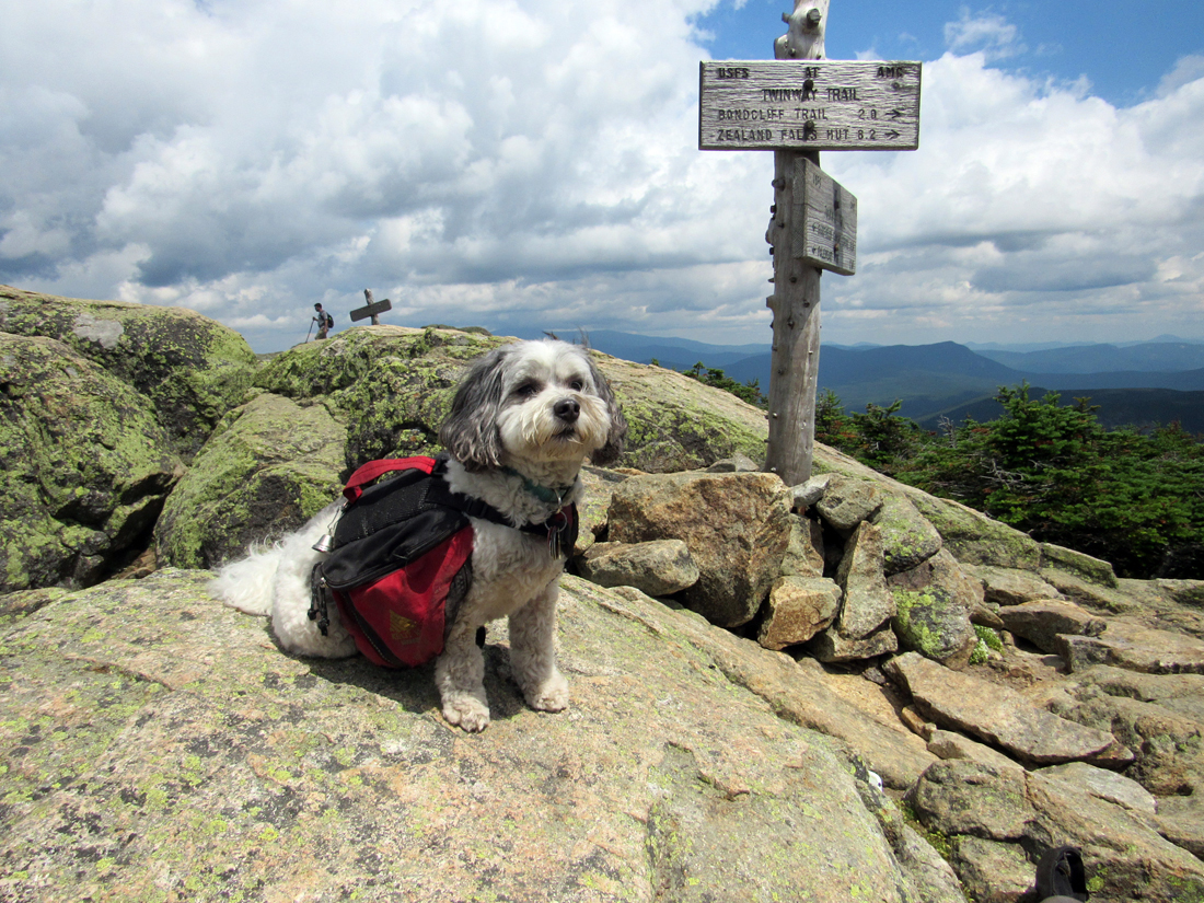
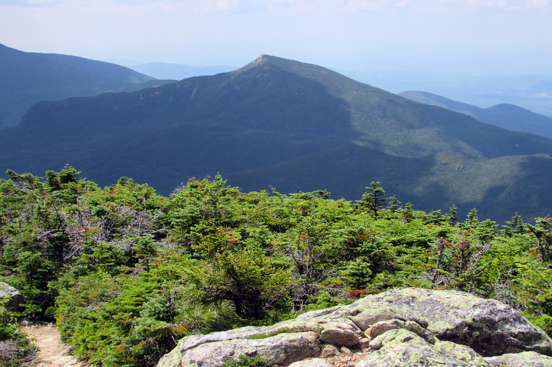
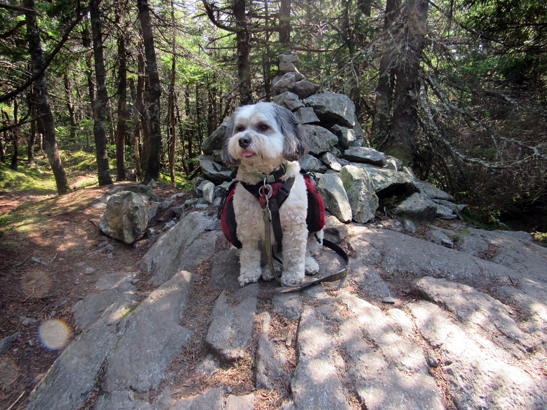
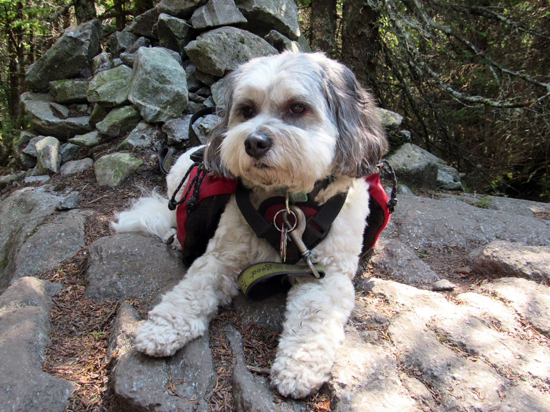
In contrast to North Twin, the summit of South Twin is treeless and has 360 degree views southeast to the Bonds and Mt Carrigain, south to the Pemigewasset Wilderness, and east-southeastI to Mt Garfield and Franconia Ridge. Unfortunately, Galehead Hut is hidden from view behind the western slope of South Twin. At the top, I found a reasonably comfortable rock to rest on, took off my pack, and then proceeded to work on taking a good photo of Patches. Of course, it wasn't all that easy as she kept getting distracted by other hikers and refused to look at the camera. Finally, one girl who had just arrived helped out by continuing around behind me, which made Patches almost look like she was facing the camera. It was close enough. After taking a few more pictures of the distant mountains. I had lunch (a power bar and some potato sticks, washed down with swigs of Power Ade. Patches, of course, shared some of my potato sticks when she wasn't too distracted.
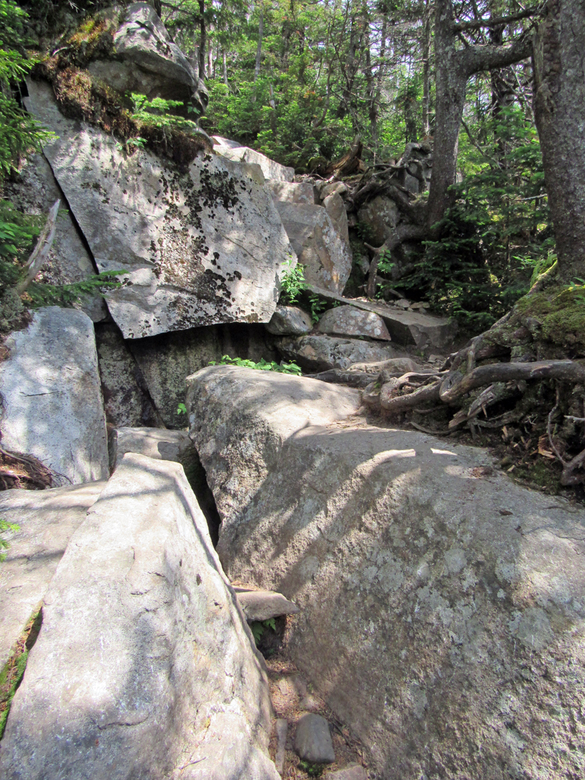
It was still cloudy, but now I had every reason to expect to finish oue goal for the day. After all, except for the short climb up Galehead Mtn, it was all downhill from here. After spending a half hour or so resting and enjoying the vistas, I put my pack back on and we headed down the steep trail toward Galehead Hut. Between the hut and the South Twin summit, the Twinway is relentlessly steep, climbing (or descending) just over 1150 ft in 8/10 of a mile. Going down often required careful footing, especially closer to the hut where you have to pick your way over and between huge boulders. When Muffin and I descended this section back in 1999, I remember having to help lift her over some of the larger gaps between boulders. For the most part, Patches seemed to hold her own.
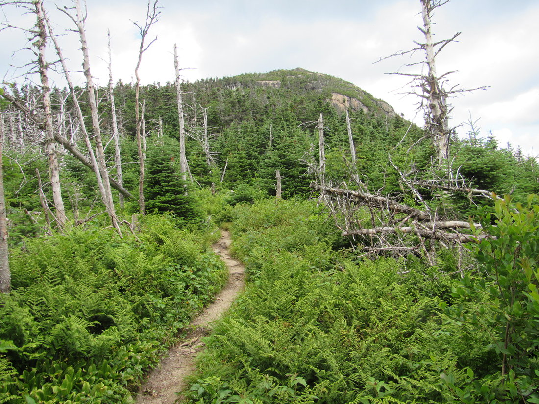
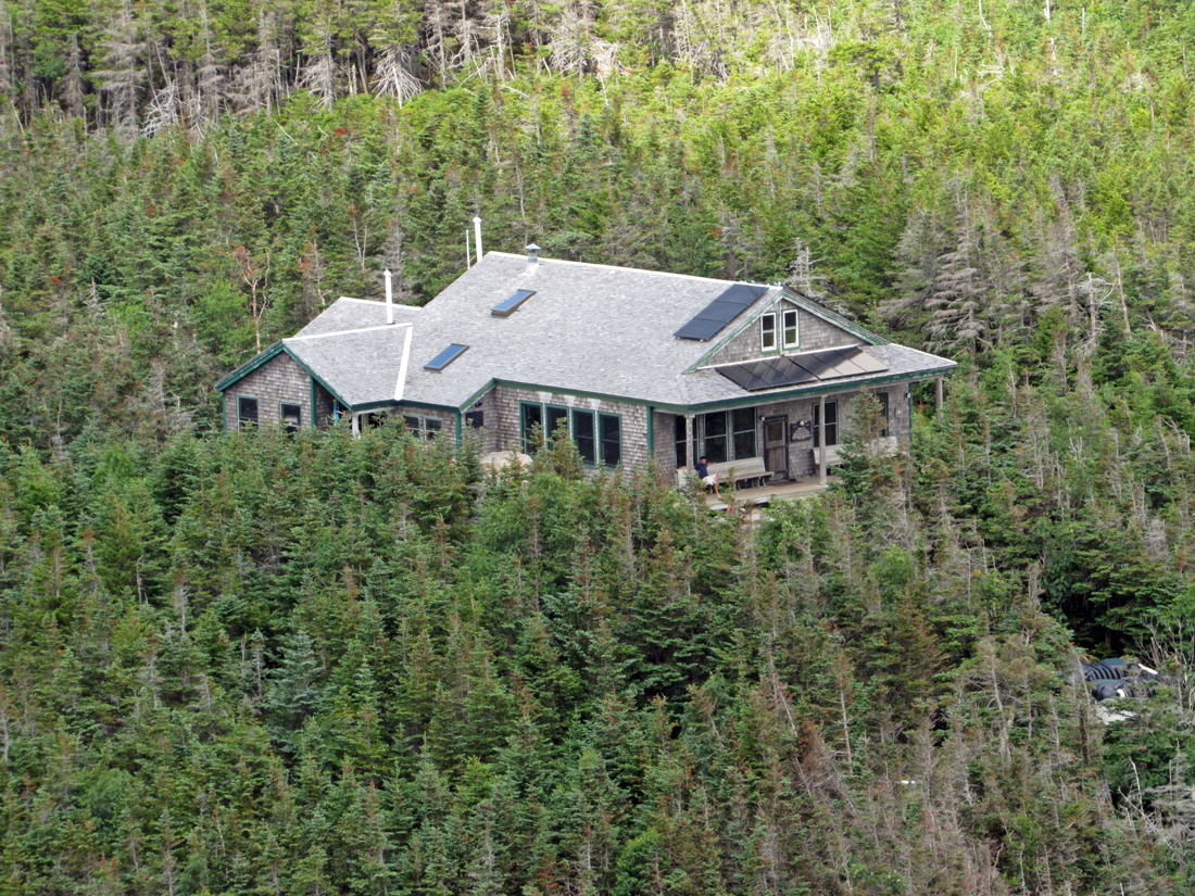
At Galehead Hut, I tied Patches up to a bench and went inside to buy a hut t-shirt from one of the croo members, go to the bathroom, and refill my water bottle. Then I came back outside to sit with Patches and enjoy an increasing bit of sunshine. It was a nice relaxing, if not a little too long, rest. When I was ready to get going again, I left my pack in a corner of the hut to lighten my load and Patches and I started the climb up to the top of Galehead Mtn along the Frost Trail. About halfway up, down a very short spur trail, there's a viewpoint that looks back down to the hut and up to South Twin. The entire climb is relatively short with only about 300 ft of elevation gain. It's also just a simple round trip as there are no other trails leading down from the summit. Most hikers usually leave their packs behind for this climb.
There aren't any great views from the wooded summit of Galehead Mtn, not even the formerly limited perspective through the trees, which had grown taller in the last few years, toward Mt Garfield. Galehead is pretty much a mountain that one climbs just to add to a peakbagging list, or simply because "it's there" and isn't a lot of effort once you've already made it up to the hut.
Back at the hut again, we rested outside in the sun for a while longer. Finally, I knew we had to get going if I wanted to get back down in time to meet the shuttle, so I filled up my water bottle again, and we were on our way. The hike back down the Garfield Ridge and Gale River Trails was, as usual, longer than I remembered. For some reason, I always expect the hut to be a lot closer to the Gale River Trail junction than it is. I don't know about Patches, but I was running out of energy and needed to rest a couple of times on the way down. But we finally reached the trailhead, at 6:27, barely a minute to spare. The van from the Shuttle Connecton in Franconia was already there waiting for us. He took us back to our car at the North Twin Trailhead, and we were soon on our way home. |
Crossing the Little Ruver on the North Twin Trail. Because the water level was relatively low, we took the main trail instead of the bypass. |
|