|
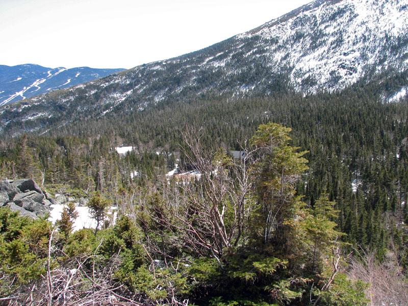
The views back down to Hojo's and and the
Wildcat Mountain Ski Area on the other side of Pinkham Notch were
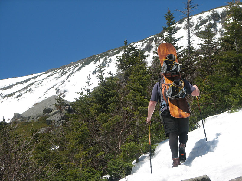
impressive. But I still had a ways to go and had to keep pushing onward
and upward. I wasn't alone; in front of me, a lone snowboarder, burdened
under his rather hefty load, trudged wearily but steadily up the winding
trail, one step at a time.
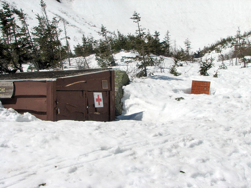
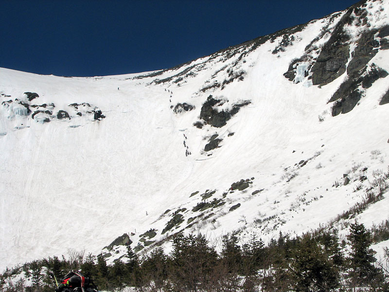
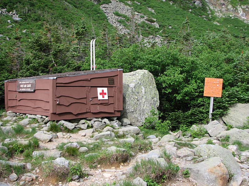
Finally, after passing one of several
emergency First Aid caches in the ravine, I came to the end of the scrub
and stood at the threshold of the upper floor of the ravine, the Bowl
rising precipitously above me on three sides. A short drop would take me
down to the groups of skiers who were gathered watching, waiting, and
assessing the various routes down the ravine headwall, all the while
talking amongst themselves, munching on snacks, and guzzling water and
Gatorade.
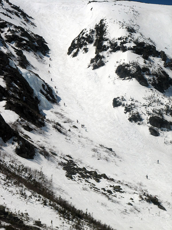
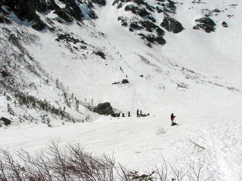
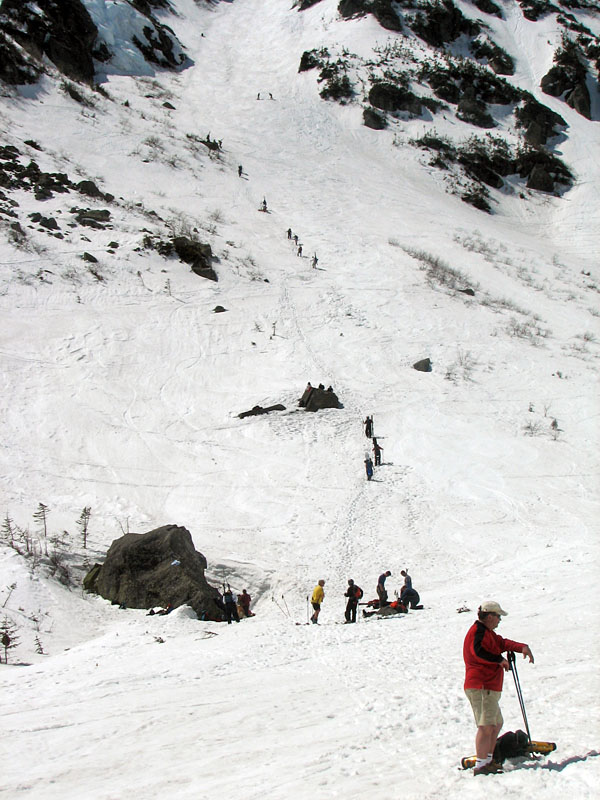
There are many popular routes both climbing up
and skiing (or snowboarding) down the headwall. One of the more popular
that day seemed to be the appropriately named Left Gully, where an
endless line of climbers (ala Chilkoot Pass during the Alaskan Gold
Rush) ascended to the left of their down-skiing colleagues. When not
climbing or skiing, many of the Left Gully enthusiasts hung out near the
bottom of the ravine or at a nearby area called Gumdrop Rocks.
On the other side of the upper floor of the
ravine are the "infamous" Lunch Rocks, a popular area to rest and eat
lunch, but one with significant icefall dangers. Just a few days
earlier, a skier who was sitting there suffered a head injury when he
was struck by a large chunk of ice falling from the right side of the
headwall. From Lunch Rocks, many skiers headed up to the right of the
steep Central Headwall or ventured even further right to attack the
Sluice or the Right Gully.
While still down at HoJo's, I had begun to
hear rumors that a TV reporter and camera person were scouting the
ravine, doing interviews and shooting footage for some Boston television
station news show. Still, I hadn't seen them personally, and they sure
didn't seem to be there at the bottom of the Bowl. As a climber but
non-skier, it wasn't as if I were a likely candidate for their program,
but the thought of a news show about Tuckerman Ravine on the very day
that I was there was intriguing, and certainly added an extra spark to
the colorful carnival atmosphere of spring skiing season.
After giving it some thought, I decided to
climb up to Gumdrop Rocks to have lunch and get a better look at the
left side of the ravine, and then, from there, decide on a place in
which to practice self-arrest. |
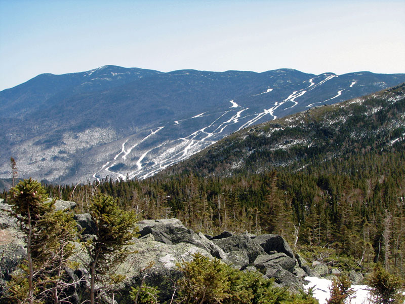
Wildcat Mountain
Ski Area from the Tuckerman Ravine Trail above HoJo's. |
 |