|
I
had been up to Tuckerman Ravine several times, including once in
the winter, but never during the spring skiing season, and I was
interested in seeing what it was like on a nice day when the ravine is
crowded with hundreds of skiers and snowboarders. In addition, I brought
my ice axe with the thought of practicing a little self-arrest skills.
The parking lot at Pinkham Notch was already
pretty crowded when I arrived around 8 AM. After putting on my pack and
gaiters, I walked around to the back of the visitor's center where the
Tuckerman Ravine Trail begins. Here, skiers start their long trek up to
the ravine with their cumbersome equipment. My pack was a bit heavier
than usual, but not as heavy or unwieldy as a pack with a snowboard or
pair of skis projecting way above the climbers' heads. In addition, most
were carrying heavy telemark or snowboard boots in their packs.
A short hike brought me to the first
crossing of the Cutler River, which flows under a wide wooden bridge
designed primarily for snowmobile traffic. Snowmobiles are the primary
means used to bring search and rescue teams up to the Hermit Lake Ranger
Station (also known as Hojo's), and to bring injured persons down.
As
usual, the slog up to Hojo's and its associated camping shelters
and tentsites seemed to go on
forever, although the trail was much smoother on the snowpack than it is
in the summer, with its numerous rocks and large drainage ditches.
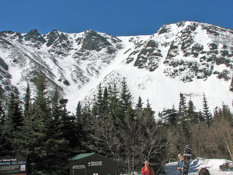
A large crowd had gathered on and around the
outdoor deck at Hojo's, mostly watching the skiers on Hillman's Highway,
an area just to the south of the more popular horseshoe-shaped cirque
known as the Bowl.
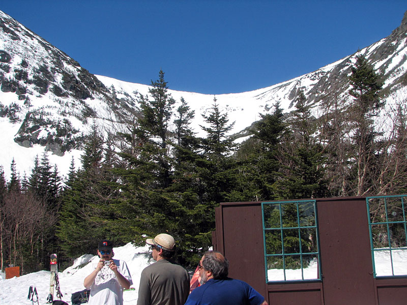
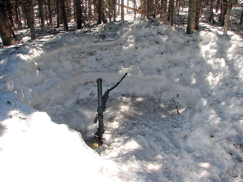
After catching my breath and watching the
skiers for a while, I set off up the trail to the upper floor of the
ravine, stopping briefly to fill up my water bottles at the nearby
hand-pumped well that provides Hermit Lake's main water source. The deep
snow had been dug out around the pump, which otherwise would have been
buried.
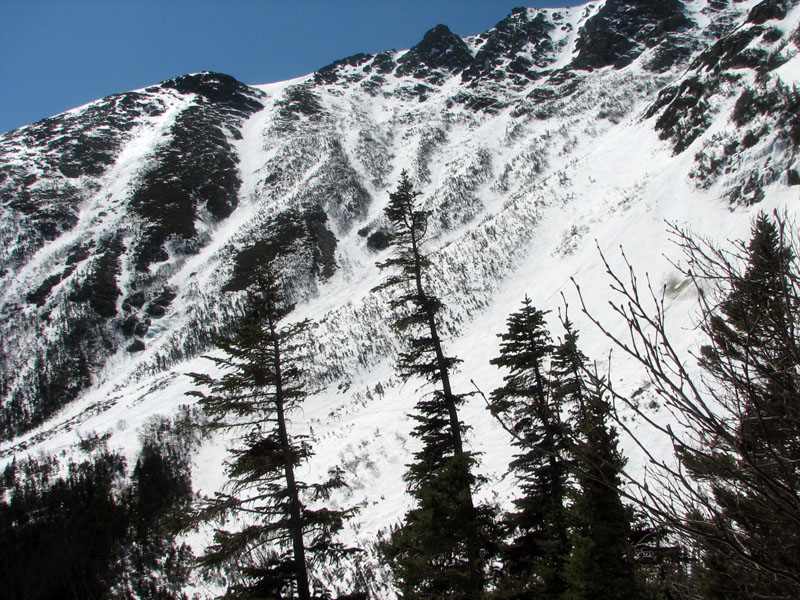
Just past the well, the trail climbs quite
steeply, over rock steps in the summer, but on well-packed and slightly
slick snow on this trip. Partway up, I stopped to take another picture
of Hillman's Highway and Boott Spur Gully. |


