|
I knew that this was going to be a very long day hike. I was
planning on climbing the Tripyramids, Whiteface, and Passaconaway,
making a lengthy loop from the Kancamagus Highway, hiking up
the Pine Bend Brook Trail and returning via the the Oliverian Brook
Trail.
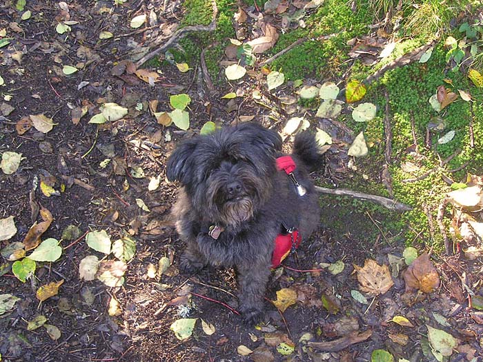
Because of this, Muffin and
I left a half hour earlier than usual - just before 4 AM.
We drove east through Lincoln,
passing Loon Mountain and ascending the hairpin turn to
Kancamagus Pass. When we arrived at the Pine Bend Brook
Trailhead, I found that there was no designated parking area, so
I drove a short distance to the east and parked in the entrance
to an obviously little-used gated forest road.
The Pine Bend Brook Trail began very
gently, and remained mostly level for quite a while, crossing
and re-crossing Pine Bend Brook and its numerous tributaries
many times. In wet weather, it would have been a real nightmare,
probably even impassable.
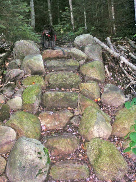
The first part of the trail was well
maintained. At one point, we climbed a set of very
nicely-constructed stone steps constructed out of a number of
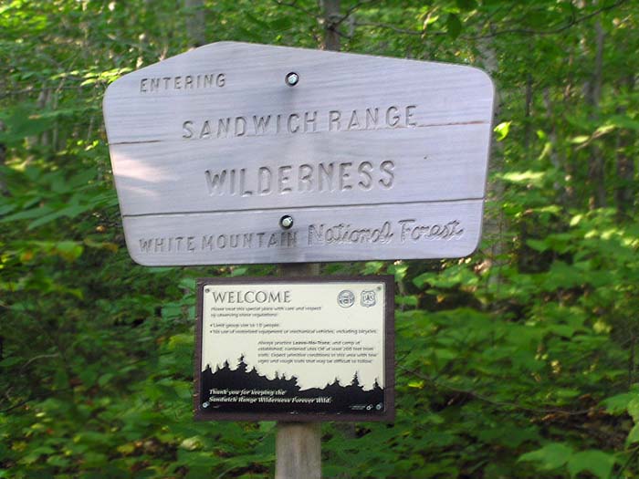
huge rounded boulders. Not long after that, we entered the
Sandwich Range Wilderness. I knew I had to watch the trails
carefully from this point on, as trails in a wilderness area are
generally sparsely marked.
After the last brook crossing, the trail
curved right and began climbing a very rough, steep, rocky ravine.
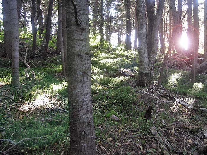
Finally, it angled left and ascended the south wall of the ravine up
to the ridge. Here, in a relatively flat area with open woods, we
took a short break. Muffin had some dog food and I had a power bar.
The trail was covered with yellow and orange leaves, mostly maple
and birch. Even though it was mid-September, fall was coming to the White Mountains.
The trail soon began to get rather steep, with
numerous short switchbacks, as we came closer to the junction with the
North Slide, but but my altimeter watch was telling me that we were
getting close. In a few places, the passage between the rocks was narrow
enough that Muffin had to skirt around them in the woods. At the time, I
paid no attention to this, and we soon attained the top of the ridge. |
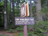
Trailhead
sign. There was no designated parking area for the Pine Bend
Brook Trailhead, so I parked just east of it in the entrance to a
gated forest road. |
 |