|
Once
in the woods, the trail climbed moderately to the junction with the Pine Bend
Brook Trail, then turned sharply right and ascended the last few feet to
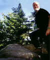
the top of North Tripyramid. Views were minimal, and after the climb up
the North Slide, my arrival at the summit was somewhat anticlimactic. Off
to the right of the trail, there was a relatively flat spot with some
glimpses toward Middle and South Tripyramid. At the official summit, I
propped the camera on top of a rock and took a photo.
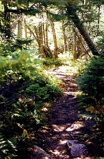
After
a short rest, I was ready to get going again. I descended moderately into
the col between North and Middle Tripyramid. The terrain was fairly
flat with no serious ups and downs as on some ridge trails such as
Garfield and Wildcat. Someone had recently camped in the area and, for
some reason, they had built a fire right in the middle of the trail. So
much for minimal impact camping!
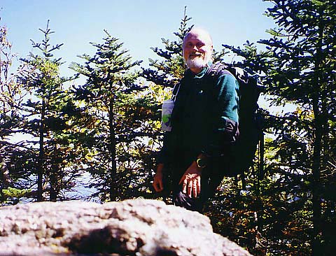
The
climb up to Middle Tripyramid was also moderate. Right before the summit,
there are a couple of overlooks to the west with more good views of Mt
Osceola and Waterville Valley, but it was still nothing like the slide. At
the actual summit, I caught glimpses of Mts Whiteface and Passaconaway
through the trees.
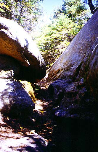
Just
after leaving the summit, the trail passed through a narrow slit between
the rocks. I thought of it as "fat dog's misery" because if
Muffin had been with me, she would have just squeezed carefully through, while
larger dogs wouldn't have fit at all, and would probably have gone up
and over the boulder on the right.
South
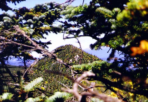
Tripyramid, which is not an official 4000-footer, has no real views at
all. At one point just below the summit, I could barely see back to Middle
Tripyramid. Stepping off the trail and onto a large boulder gave me at
slightly better shot back through the trees. |
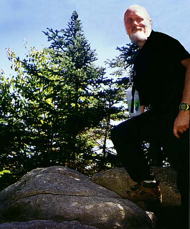
Self-portrait
on the summit of North Tripyramid. After the slide, arriving at the summit
is somewhat anticlimactic. |
 |