This was the last trip of 2012 to my adopted Mt Clinton Trail. I was going to work on the trail that first day, spend the night at Mizpah Springs Hut, and then make my way down along the Webster Cliff Trail over Mts Jackson, Webster, and, of course, the Webster Cliffs. I had never been south of Mt Jackson on the Webster Cliff Trail and I was looking forward to the views from the edge of the cliffs.
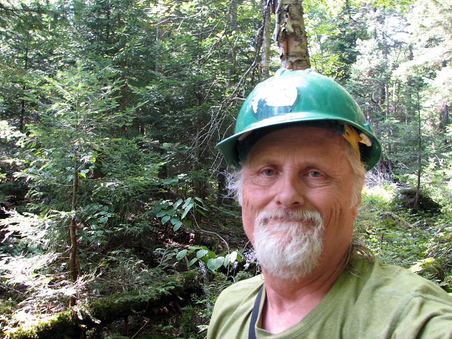
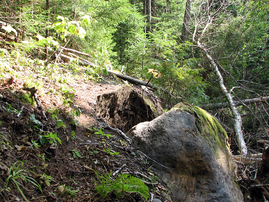
After briefly stopping at the hut to retreive my tools from the basement and stash my gear in my assigned bunk, I headed down the Mt Clinton Trail and was pleasantly surprised to find that there wasn't too much to do on the upper portion of the trail on which I had worked back in June. But below the first major brook crossing, where I had turned around on my last trip, I began to see evidence of severe erosion from last year's Hurricane/Tropical Storm Irene. Whole portions of the steep banks along one side of the brook were washed away and the low areas around the brook were littered with downed trees and branches left behind by the retreating floodwaters.
At one area, just north of the legal campsite at the trail's halfway point, where the trail skirts the edge of a steep enbankment, the cliff edge had been undercut by the torrent racing down the brook, and the trail was left directly at the edge of the cliff, which was now in danger of collapsing during the next storm. Since the trees and brush pressed directly against the uphill side of the trail, hikers had no easy way to avoid crossing the precarious lip of the undercut cliff. The best way I figured that I could improve things was to cut back the growth to widen the zone of safety and give hikers more room to avoid the unstable ground.
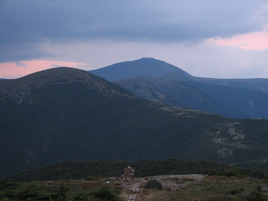
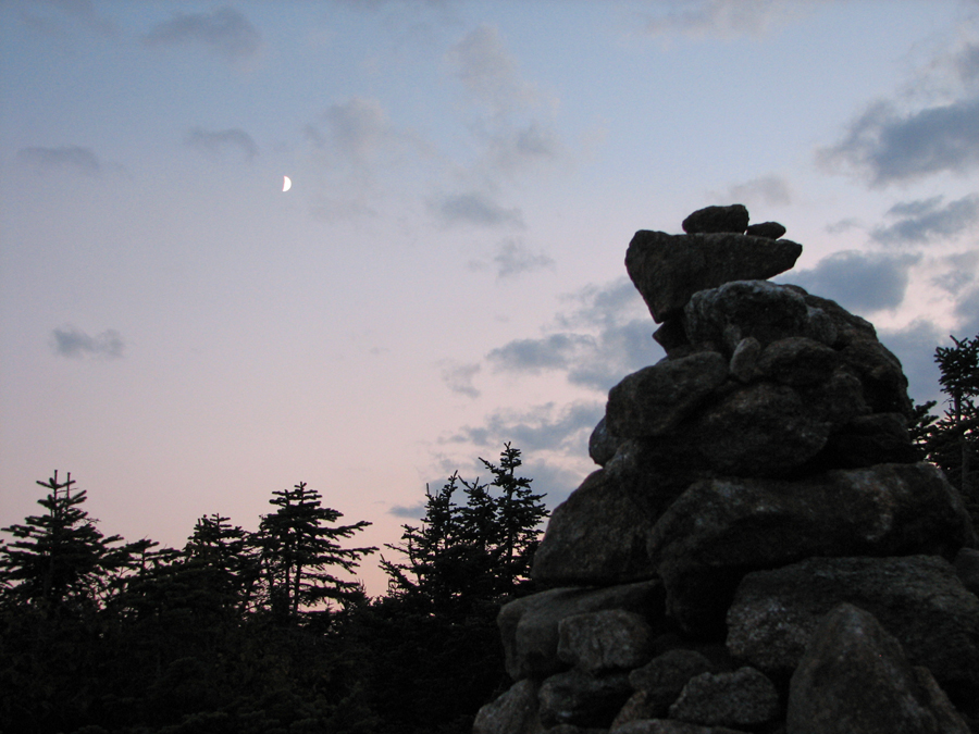
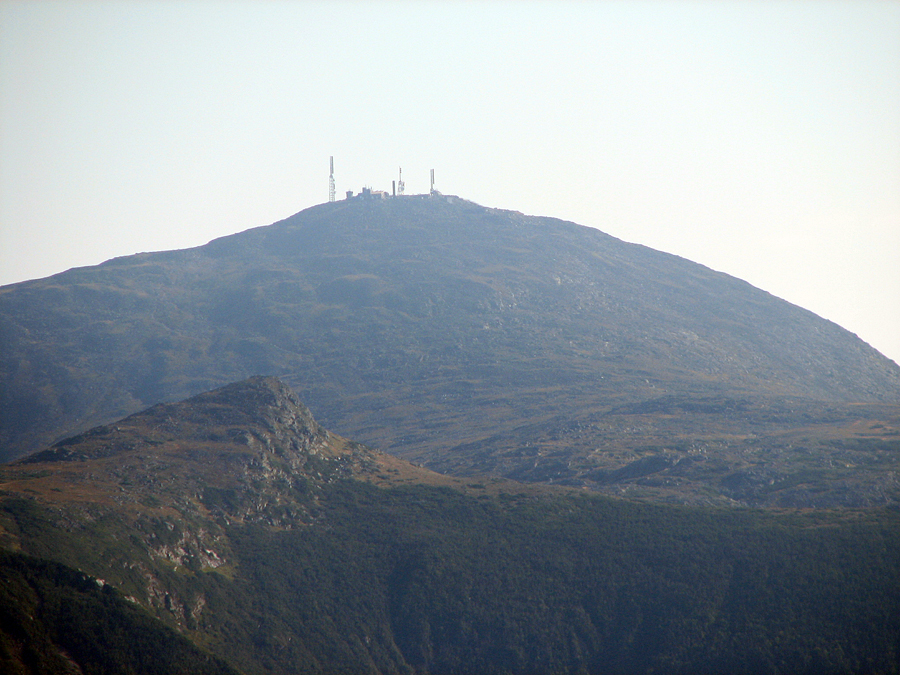
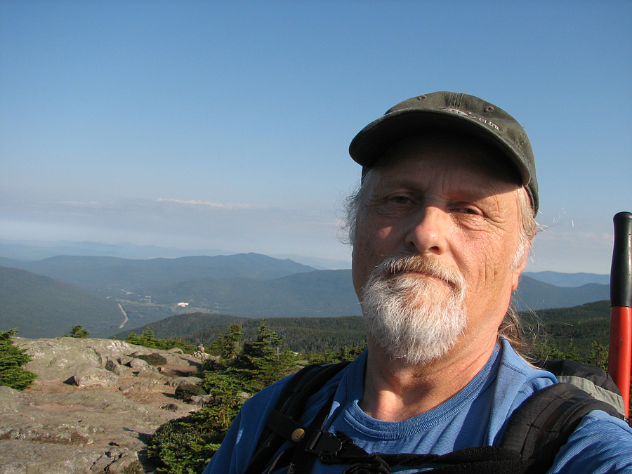
Back at the hut later that afternoon, I rested until supper, which was hearty and tasty as usual. After eating, I took my usual after-dinner climb up to Mt Pierce, where I could get a signal on my phone and call home to let them know that I was doing fine. While on top, I took some interesting sunset shots of Mt Washington and the moon rising in the sky.
On the way back down, it unexpectedly began to drizzle as it grew darker. I had my headlamp with me, and was certainly familiar with the trail, so the darkness didn't bother me, but I knew I had to be careful since the rain was going to make the rocks slick along the steep descent. At the top of the steep section, I met another hiker on his way down. Unlike me, he was unfamiliar with the trail and did not have a headlamp available, so I stayed with him as we descended, stopping every so often to shine my headlamp back up along the parth so he could pick his way over the large boulders and sections of ladders. I didn't mind helping, but I wished he had at least thanked me afterward.
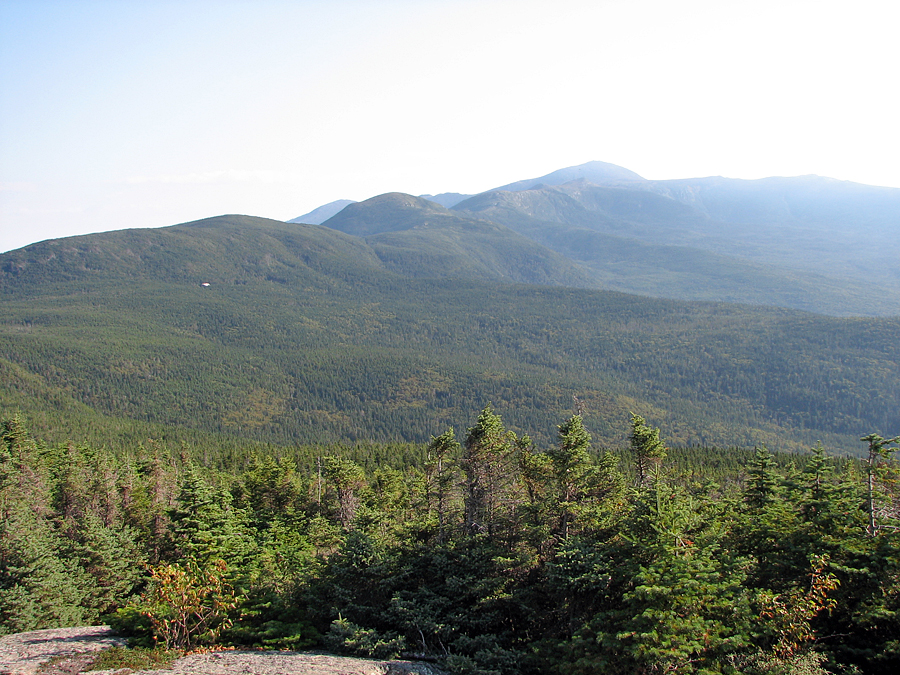
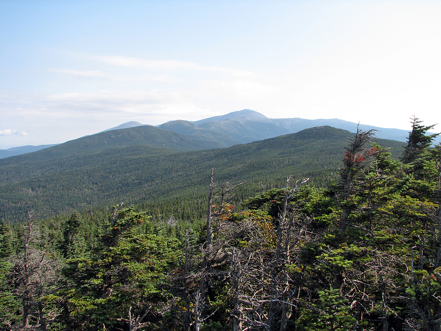
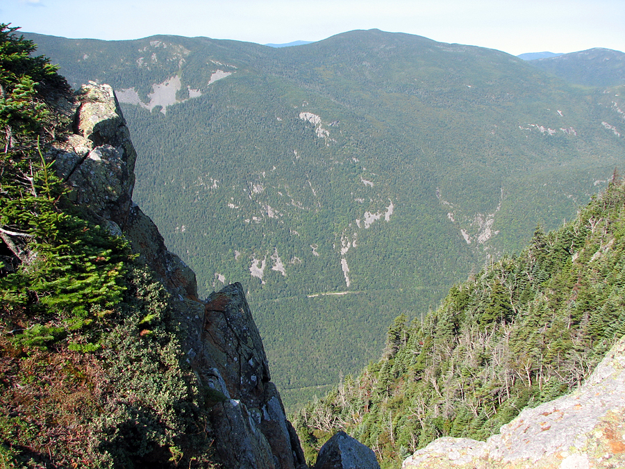
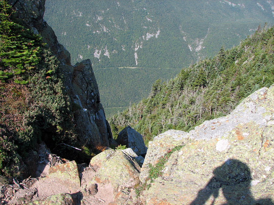
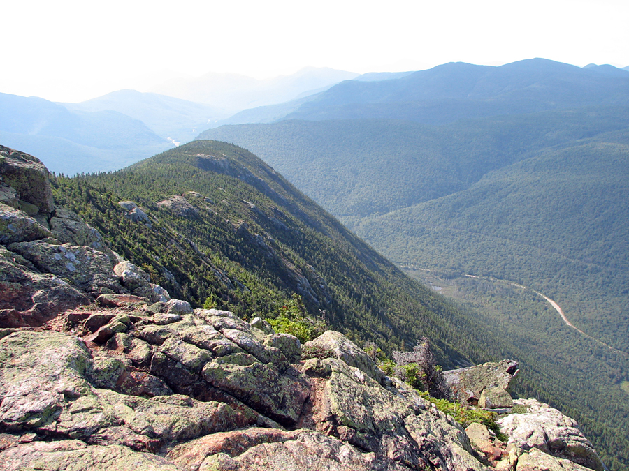
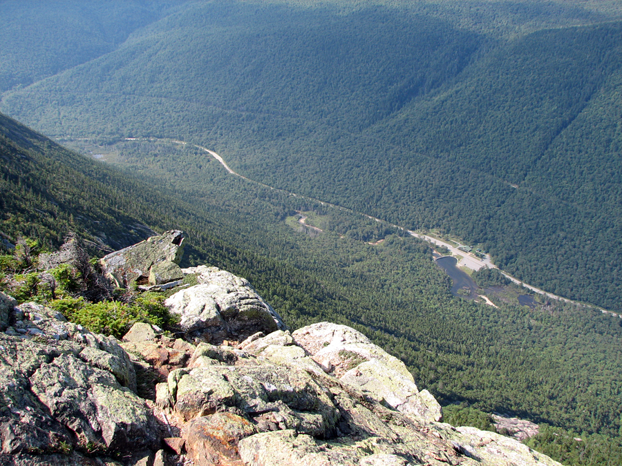
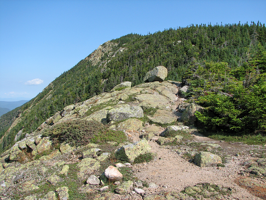
The next morning, after breakfast, I quickly got my gear together and headed south on the Webster Cliff Trail. I wanted to get down to the Webster Cliff Trailhead in time to catch an AMC shuttle back to the Highland Center. The rain from last night had stopped and the sky was clear and blue, making the views back up the ridgeline of the Southern Presidentials and down toward Crawford Notch spectacular. I was particularly impressed with Mt Webster and the long descent along the edge of the Webster Cliffs. There were many crags along the way with precipitous views down into the notch. I seemed to be the only hiker heading south and down, but I met quite a few on their way up. I even met a thru-hiker on Mt Webster who thought he had reached Mt Washington. I hated to break the news to him that he still had quite a ways to go.
Back in the trees again, the weather began to warm up and the descent seemed to drag on forever. I was glad when I finally reached the bottom and sat down in the shade to rest and wait for the shuttle. It had been a good trip, but I was ready to head home.
|

