|
While I was resting just below Mt Pierce, at
the junction of the Webster Cliff Trail and Crawford Path, a couple whom
I'd met at the hut the night before caught up with me. They were on
their way to Lakes of the Cloud Hut and hopefully Mt Washington, so our
paths would intersect until I turned off to climb Mt Eisenhower, which
they were going to skip.
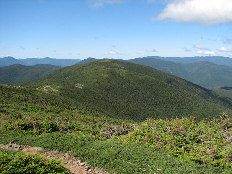
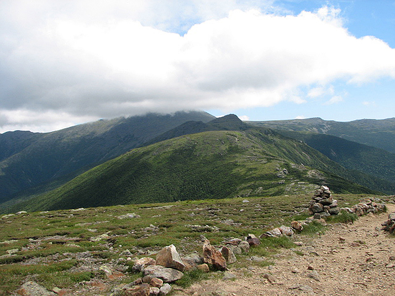
Between Mt Pierce and the Eisenhower Loop
trail, the Crawford Path dips in and out of the scrub. This is the best
of both worlds; above the trees, the views are magnificent, while
descending back into the shelter of the scrub provides a welcome respite
from the relentless winds. Like me, my acquaintances had a camera and
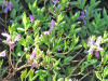
enjoyed taking pictures, so we took several rest and photo breaks. I got
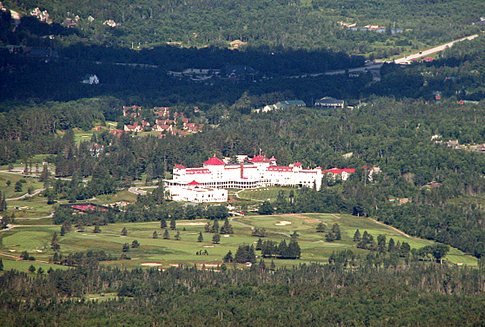
a nice picture of a patch of rhodora in bloom, and another closeup shot
of the Mt Washington Hotel, which was visible far below us during most
of this section of the trail. I also took another photo back to Mt
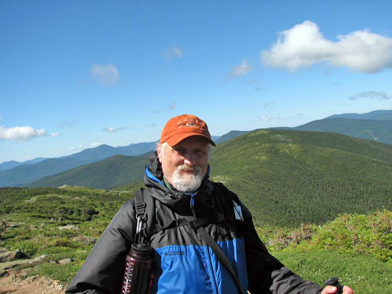
Pierce, with the top of Mt Jackson just visible behind it. Around the
halfway point, they offered to take a picture of me, a rarity amongst my
usual self-portraits.
I decided not to ascend Mt Eisenhower from the
more exposed south approach, so I continued on with them along the
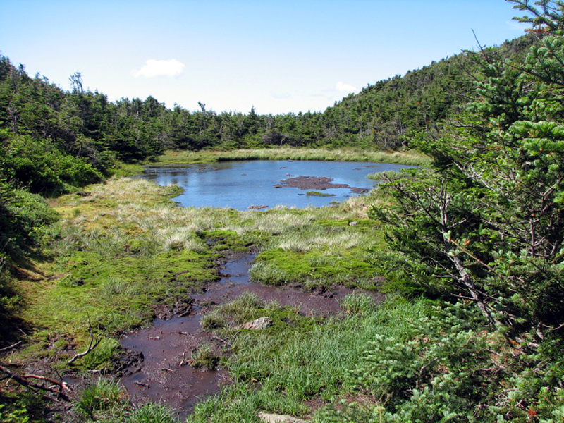
Crawford Path and we parted company near Red Pond at the north end of
the loop. I stashed my pack behind some bushes near the pond and headed
up into the tempest. The north loop to the summit has several rocky
outcrops with some small shelter from the wind, but the final approach
is totally exposed. At times. strong gusts almost knocked me over; only
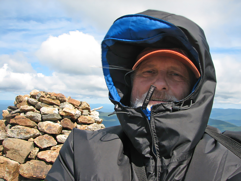
my poles helped me to keep my balance. At the top, the wind was likely
gusting to up to 60 MPH, possibly stronger, so I took a very quick
self-portrait. On the way up, the wind was mostly hitting me from the
back, but once I turned around, it walloped me fully in the face,
blowing right into my hood and causing the entire jacket to puff up
around me. The roar was deafening.
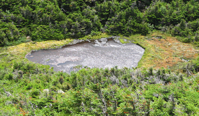
On the way back down, I stopped in the lee of
some rocks to take a picture looking down on Red Pond. Even in its
relatively sheltered location, the wind whipped up a steady flow of
ripples on its surface.
After retrieving my pack, I was definitely
ready to head down the Edmands Path and escape from the wind. The upper
tenth of a mile or so of the trail is still exposed to the gusts
whipping through the funnel between Mts Eisenhower and Franklin. Shortly
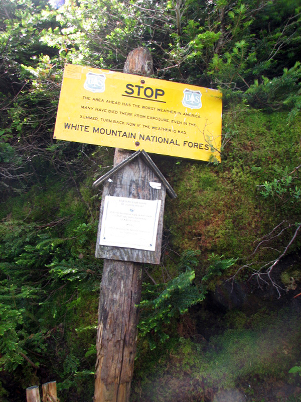
after passing the weather warning sign, I began to feel the wind
slacken; soon I was back in the trees and into an entirely different
world.
The rest of the hike down was uneventful. The
Edmands Path is well-graded and makes for a fairly quick descent. The
real work began when I emerged at the trailhead. I was hoping to hitch a
ride down the Mt Clinton Trail back to the Highland Center, but the only
moving car I saw was going in the other direction. The slog down this
fairly flat gravel road seemed to go on forever. At about the halfway
point, I passed another hiker with a heavy pack going the other way, but
neither of us seemed to have the strength or inclination to acknowledge
each other's presence. Like as not, he too was headed back to his car
after a long hike.
Still, I made reasonable time, reaching my car
around 1 PM, and had plenty of time to make it back home to
Massachusetts in time to go with my wife and daughter to the fireworks
that night.
|
The pink
blossoms of Rhodora in bloom
along
the Crawford Path. |
|