|
This was my first trip of 2009 to work on my
trail. After driving up from Massachusetts, I left the AMC Highland
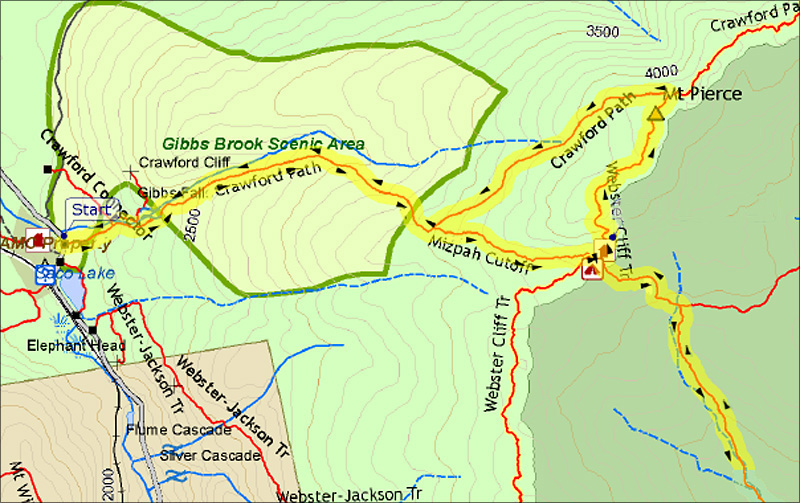
Center around 7:30 AM and was making good time up the Crawford Path
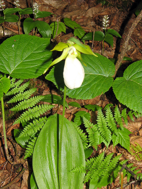
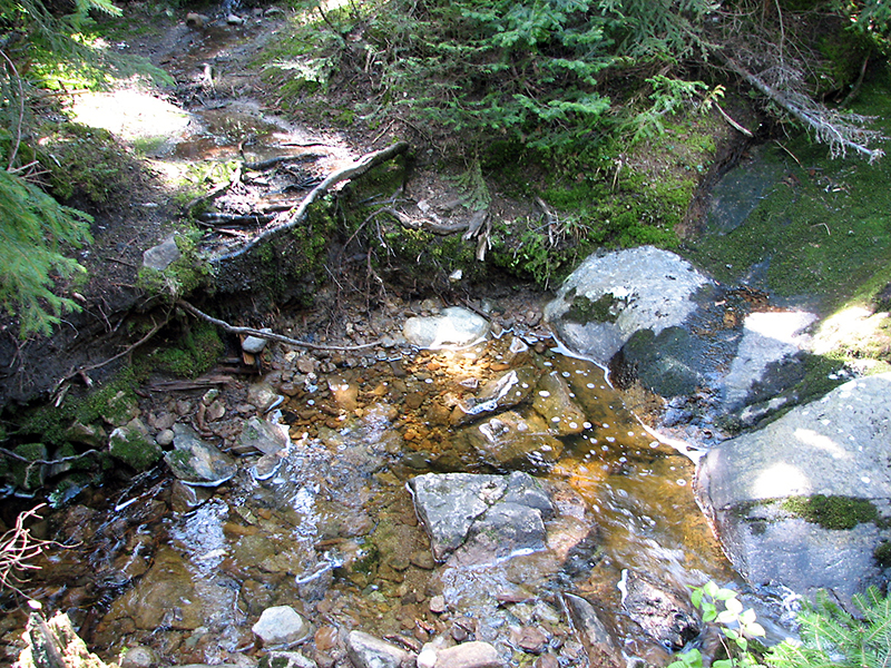
until I reached Gibb's Falls where I stopped to take a picture of a lady
slipper at the side of the trail. This is where I suddenly realized, to
my great dismay, that I had left my camera back in the car. My choices
were to continue on and forget taking pictures that day, or to hike the
8/10 of a mile plus 400 feet of elevation gain round trip to the car.
Neither choice was particularly appealing, but in the end, I chose to
retrieve the camera.
After returning to Gibb's Falls with the
camera, I took the fated picture of the lady slipper, and then continued
the rest of the way up to the hut. Luckily, there were no more unwelcome
surprises.
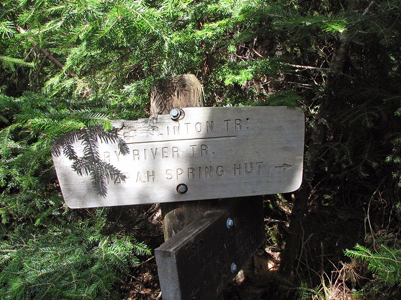
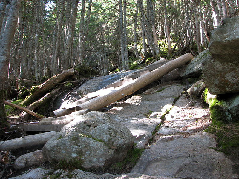
After a short rest, I headed down the Mt
Clinton Trail to begin my work. There were quite a few blowdowns after
the winter; I cleared 19 in all. I also brushed about a mile of the
trail before I ran out of time for the day. The biggest problem,
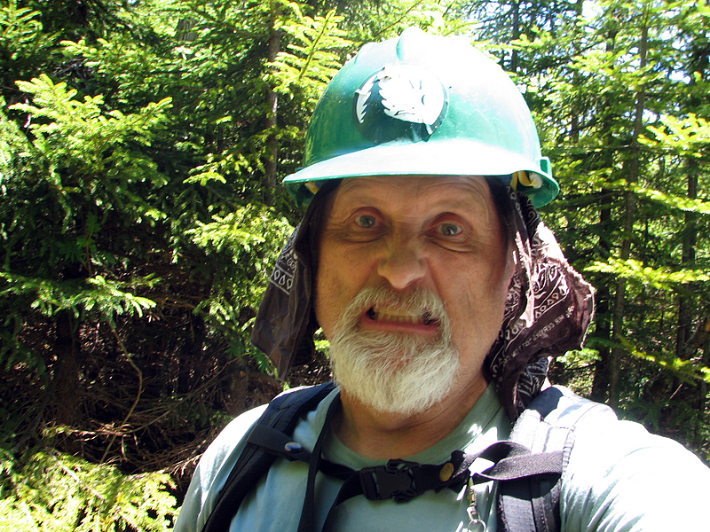
however, was not the amount of work, but the blackflies, which were out
in full force and were absolutely eating me alive. Worst of all, they
kept getting into my ears and driving me crazy. I always keep a
handkerchief/neckerchief in my pocket for any such emergencies, so I
tucked it up under my hard hat so that it draped down over my ears to
help keep them out. Liberal applications of mosquito repellent on the
rest of me did little to discourage them.
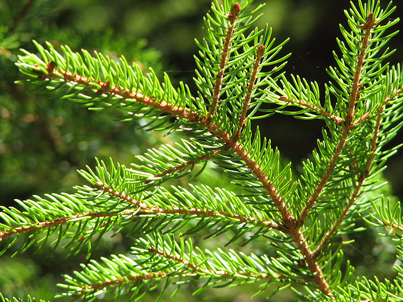
When I brush the trail to remove branches and
sometimes small trees that are overgrowing the trail, most of what I
trim are either balsam fir or red spruce. At lower elevations, closer to
the Dry River, I also cut a bit of hobblebush. I much prefer cutting the
balsam fir branches to red spruce as balsam fir needles are soft and
flexible while red spruce needles are spinier and scratchy.
After returning to the hut, I stashed my tools
in the basement so I wouldn't have to carry them back up next time, and
then headed up the Webster Cliff Trail to climb Mt Pierce. I always like
to climb a mountain after working on the mostly viewless and wooded My
Clinton Trail. Usually this is Mt Pierce, as it is less than a mile and
about 550 vertical feet above the hut, although I occasionally hike in
the other direction on the Webster Cliff Trail to climb Mt Jackson.
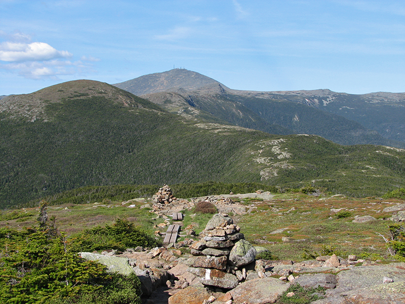
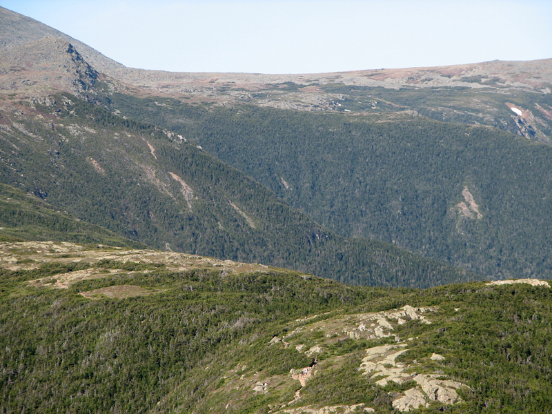
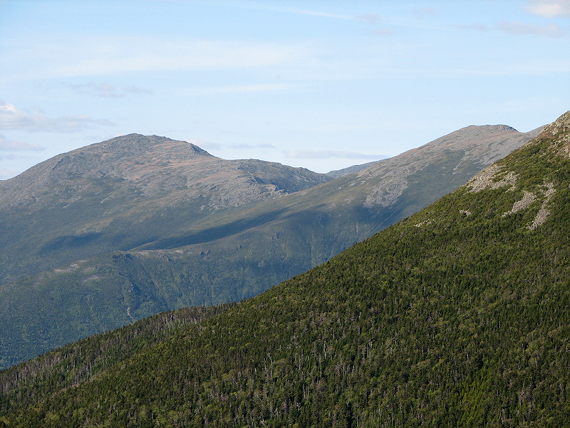
The views were excellent from Mt Pierce. Mts
Washington, Eisenhower, Jefferson, and even Clay stood out quite clearly
against the blue skies, as did the headwalls of Oakes Gulf, a glacial
cirque on the southern slopes of Mt Washington which is the source of
the Dry River.
The weather was nice, but even here, with a
bit of wind, the blackflies were annoying. Consequently, I didn't spend
a lot of time just relaxing and enjoying the views, but shortly headed
down the Crawford Path to the Highland Center and my car. I made good
time going down the trail, on my way passing Gibb's Falls for the third
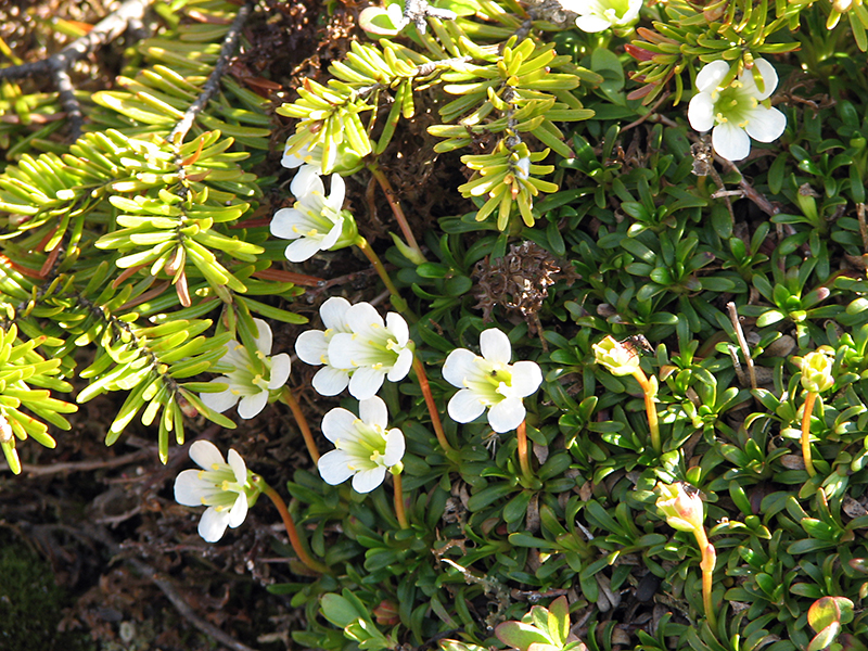
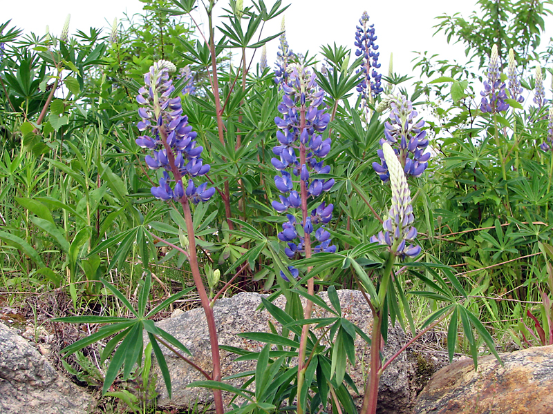
time today. Before driving away, I stopped to take a picture of the
lupines that grow in abundance along Rt 302 by the Highland Center.
These flowers are common sights at lower elevations in the White
Mountains in June.
|