|
The
Mt Tom summit area was relatively small but level, with a large rock cairn and a
nice log bench where you could sit and admire the views. All the snow had
melted, and it was warm and sunny, in sharp contrast to the deep soft snow
and shady woods just below. Although the summit is a protected area and
camping isn't allowed, it sure looked like a pleasant place to set up camp
and stay a while.
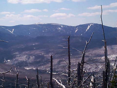
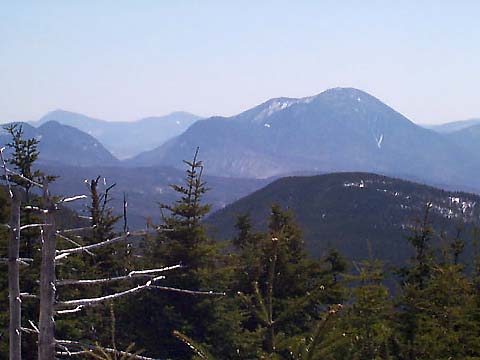
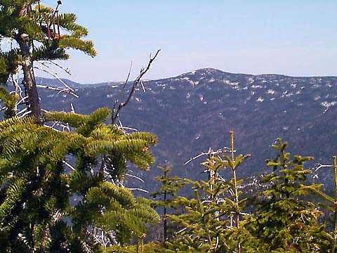
A
large patch of blowdowns to the west allowed spectacular views out over
the Pemigewasset Wilderness. Directly west were the Twins, the Bonds, and
Mt Guyot. To the southwest, I could see Mt Carrigain. And to the north,
although it was partially hidden by the trees, was Mt Field, where I had
climbed on a 20-below zero day back in January, 2000. I could even see
what I was sure were the tiny specks of Zealand Hut and its falls far
below South Twin.
I
stayed on the summit for a while, enjoying the views and the dry ground,
and warming up in the sun. I could have hung around a lot longer if it
weren't for the long trek back. I had hoped to get up here no later than
noon, but it was almost 2 o'clock, and I wasn't sure how difficult the
downhill trip would be. Sadly, I decided to head back down, hopeful of a
quick descent.
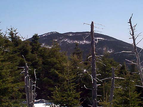
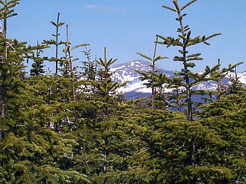
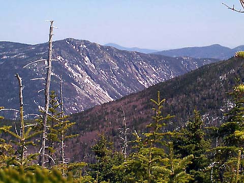
Not
far below the summit, I stopped along the trail to take pictures of the
views to the east. I could clearly see Mt Jackson and Crawford Notch, and
a little further down, I got a glimpse of Mt Washington through the trees.
I had no trouble retracing my steps down the Mt Tom Spur.. Back on the A-Z
Trail again, I was careful to look both for signs of my tracks, and for
any blazes I could find on the trees. When I returned to the area where I
had last lost the trail for the better part of an hour, I stopped to
fashion a little arrow out of dead twigs, pointing the way up the correct
path. I hoped it would be obvious enough to help the next hiker who came
by.
Not
far below this spot, I discovered that I was in for a bit of an unpleasant
surprise. The warm temperature was melting the snowpack enough that my
morning footprints were beginning to disappear. And the problem only got
worse the further down I went. A couple of times, I had to stop and scout
out the next blaze before continuing on down. When I came to the brook bed
crossing where I had also been stuck for a while, I again built a twig
arrow. |
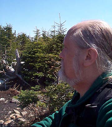
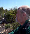
Self-portrait
on the summit of Mt Tom. There's a small bench near the summit cairn that
I'm sitting on in this picture. It's a nice place to sit and admire the
view, although I'm facing in the opposite direction here. |
 |