|
After driving up
early in the morning as usual, I parked the car at the Waterville Valley Ski Area and
started up the Mt Tecumseh Trail at
about
7:25 AM. The
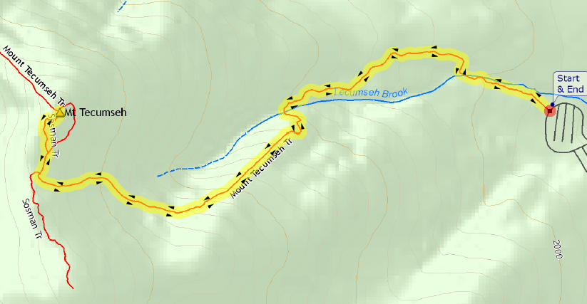
day began clear and cold, around 10 degrees, but calm and windless. The trail was well-packed with a dusting of new snow from the night before.
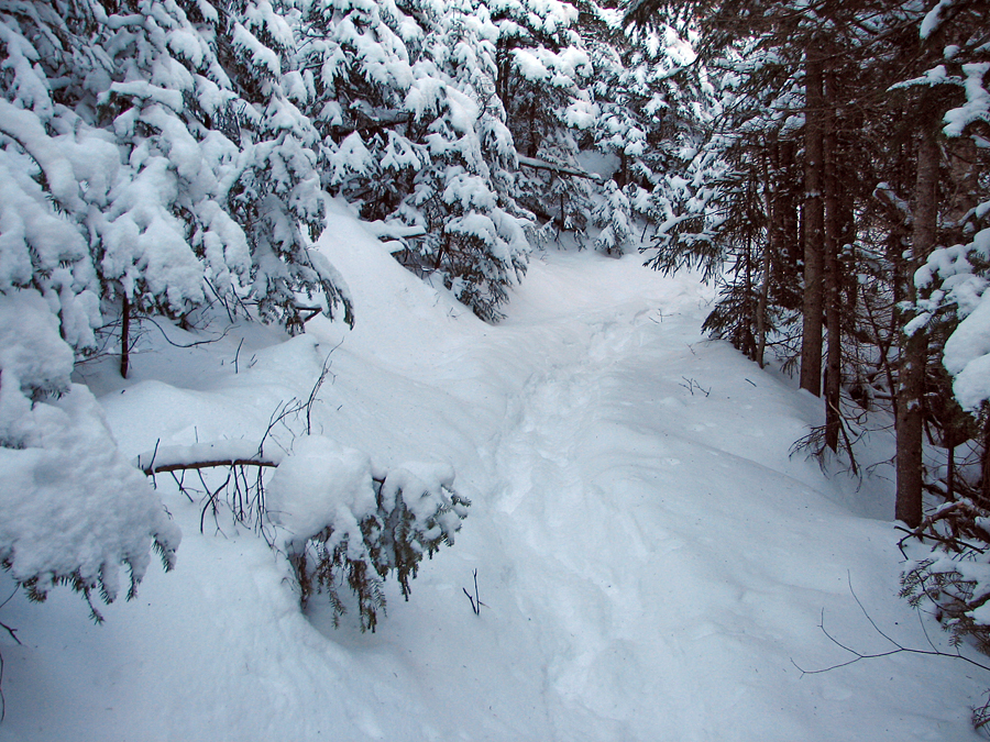
Just
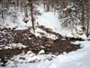
after the trailhead, I crossed over a small brook where I stopped to put on my microspikes. Not knowing what the conditions might be higher up, I carried my snowshoes in my pack, but never ended up using them. Not too far up the trail, I
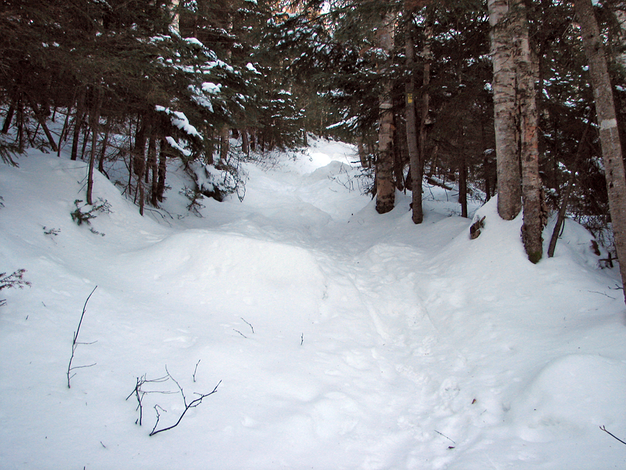
crossed over the brook again, and the trail
then began angling up the
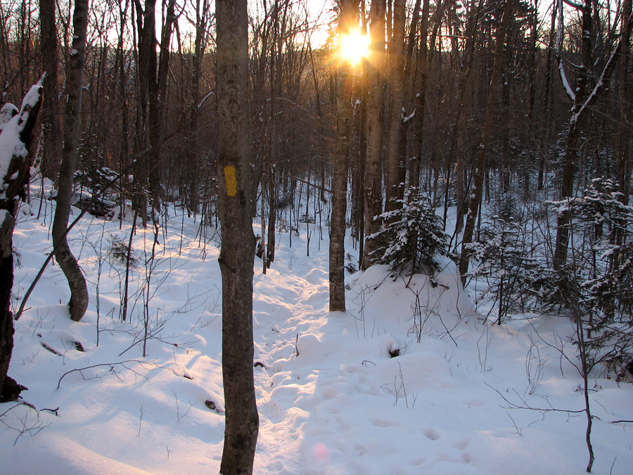
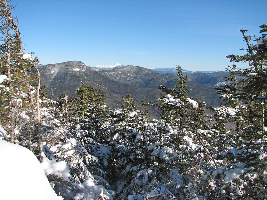
steep bank. After crossing a deep, steeply-sided ravine, the trail passes within a few feet of one of Waterville Valley's ski trails. Here, at the view sign, I took the slight detour to enjoy the view east toward the Tripyramids.
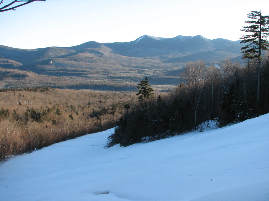
Beyond this point, the trail follows a fairly straight path along the
south side of the brook at moderate and even grade where the snow began to get deeper the higher I climbed. As I got closer to the ridgeline, the trail got much steeper and narrower and my pace slowed, but the snow made climbing easier as it covered all of the boulders and made the path smoother. There were a few small patches of ice but my microspikes did a good job of providing traction.
A short distance later, the trail got nearly level, after which I arrived at the Sosman Trail junction on top of the ridge that connects Mt Tecumseh to the top of the ski area.
From here, the Sosman Trail follows a short fairly level stretch north until the trail splits into two branches. Here, the Sosman Trail veers to the left to climb the west side of the summit cone, while the Mt Tecumseh Trail bends to the right to ascend the steeper east side. I chose the well-travelled west branch.
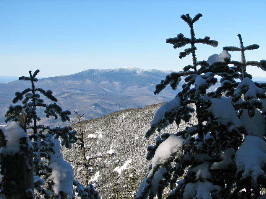
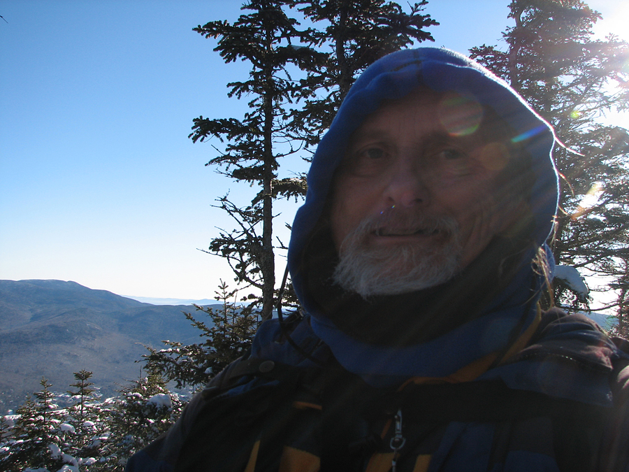
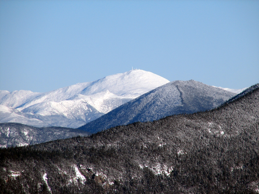
The trail climbed by switchbacks, with alternating steeper and more level sections. Just before the final approach to the summit, there's a view off to the west where I could see Mt Moosilauke's broad snowy summit. Not far beyond, I climbed one last pitch to Mt Tecumseh's summit. After taking a picture of myself, I descended a short way to a northeast viewpoint overlooking the Osceloa's, Mt Carrigain, and the distant Presidentials.
The sounds from the nearby ski area are quite audible from the top of Mt Tecumseh. They always seem to be making some sort of announcement. You can also see the top of one of Waterville Valley's chair lifts through the trees. They were busy making snow and huge billows of snow rose from a ski trail behind the chair lift terminal.
The trip back down by the same route went quickly thanks to the snow, especially on the long section between the ridge and the ski trail viewpoint, where I could boot ski down short inclines without fear of a nasty fall on the rocks. |
First brook crossing. Just beyond the trailhead, the Mt Tecumseh Trail crosses Tecumseh Brook for the first time, |
|