|
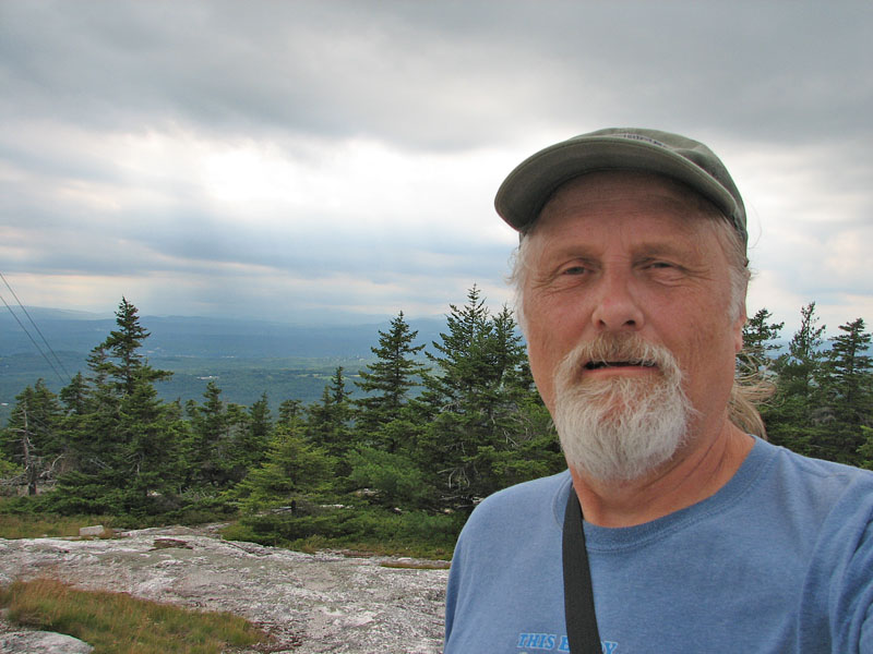
Our family was camping in the Hebron, ME area
over the weekend, so, on Saturday, I decided to take a short trip up
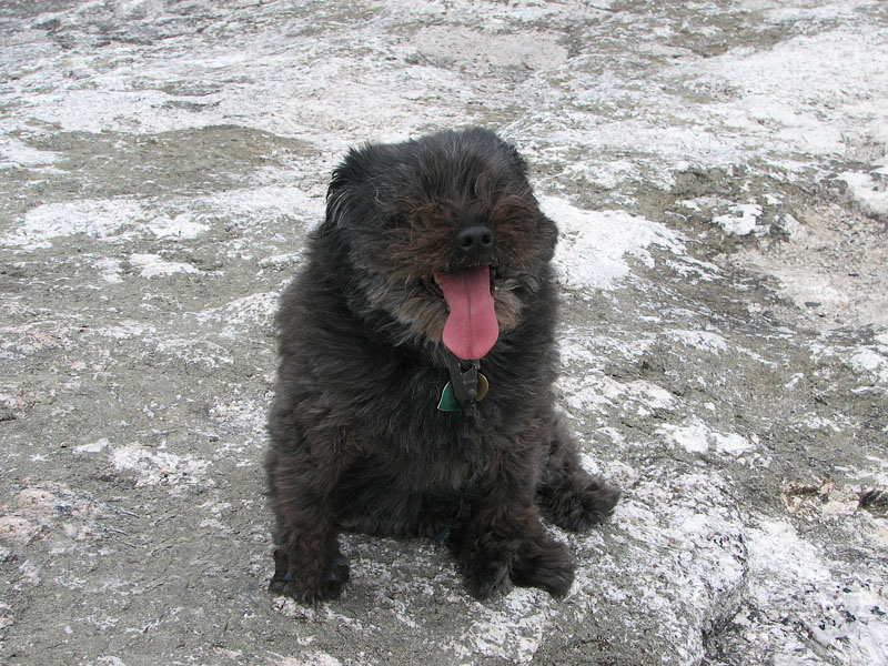
nearby Streaked Mountain. Muffin, who hadn't been climbing for a few
months due to a sore leg, seemed to be doing better, so I took her with
me. Actually, she was in better shape than I was because I had just had
an accident on Friday loading the car for the trip and had bruised
several ribs.
Loaded up with painkillers, I drove several
miles to the trailhead, parked the car along the road, and we were off.
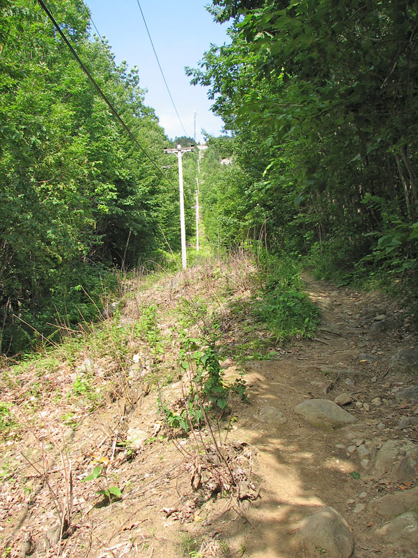
The trail immediately entered a tall deciduous wood, and after a couple
of turns, headed straight uphill next to some power lines.
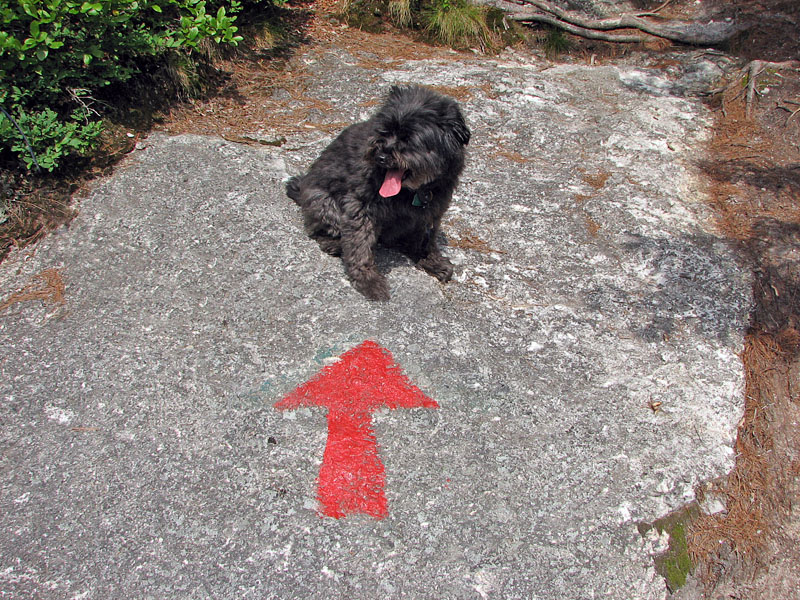
Before long, the trail veered to the right and
emerged out onto mostly open ledges, with some scattered trees and lots
of blueberry bushes. It reminded me a little bit of the Blueberry Ledge
Trail on Mt Whiteface. On the way up, we met several people who were
there just for the blueberry picking.
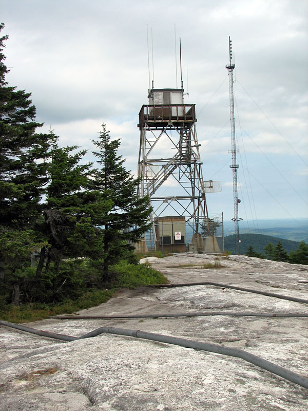
It wasn't a long climb, just a half mile one way with 700 ft of
elevation gain, but the ledges were moderately steep and a a reasonably
good workout. At the top, near a fire lookout tower which is apparently
still used by the Maine Forest Service, we met another group of people
who had driven up a road that ascends the other side of the mountain.
However, unlike Mt Wachusett or Mt Washington, which also have auto
roads, the top of Streaked Mountain was not the least bit crowded.
Muffin and I appeared to be the only hikers up there.
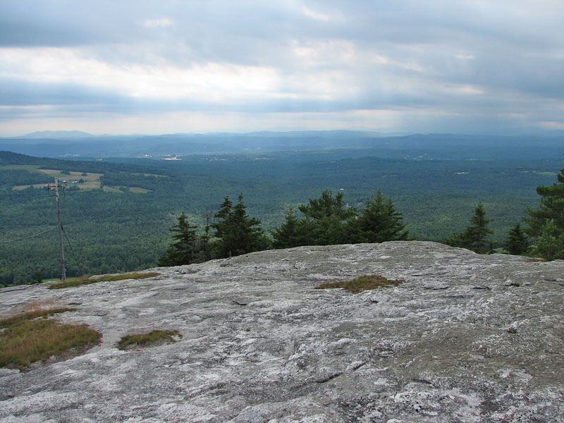
The summit area was broad and ledgy, with
scattered patches of small to medium-sized spruce trees and the ever
present blueberry bushes. Considering the ugly gray pall of the sky and
the scattered showers in the distance, the views were pretty good,
stretching all the way west to Mt Kearsarge, about 30 miles away near
North Conway, NH.
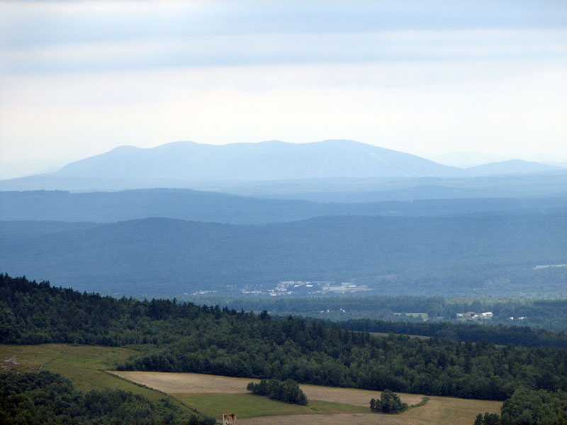
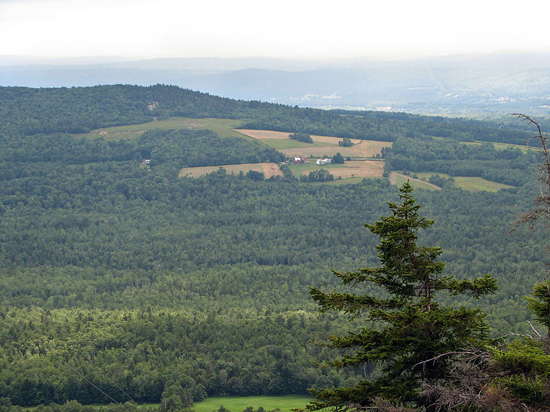
Much closer by, maybe a mile or two from the
trailhead, sat a tidy little farm surrounded by an angular patchwork of
mown hayfields, plowed earth, and pasture, while several miles beyond,
clusters of white buildings suggested the presence of a town, probably
the outskirts of South Paris.
On the way down, I somehow managed to wander a
bit south from the marked course on the ledges, and, at the bottom, we
ended up having to cross through a fenced-in cow pasture to get back to
the road. Luckily, our car was just on the other side of a small rise,
and we were soon back on our way to the campground. |