|
After
an early drive from home, I parked the car at the Crawford Hostel and went
in to check the weather. It was mostly sunny and about 15 degrees. The
forecast was for 40 degrees in the valleys, but I don’t think it ever
got over 20 on the summit. I walked across Rt 302 to the start of the
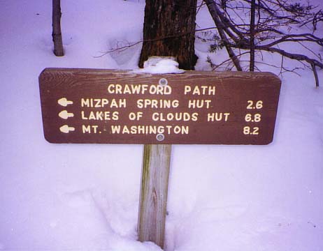
Crawford Path. The normally shoulder-high trail sign was noticeably lower
from the deep snow. The
trail itself was covered
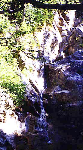
with packed snow over ice. I
started up the trail, stopping to look at Gibb’s Falls which were frozen
solid, and mostly covered over with snow.
The
hiking was slow because my pack was too heavy, but the footing was easy. I
didn't have any trouble with postholing unless I stepped way off trail.
Even then, the ice crust underneath the fresh snow supported my weight to
some extent. I stopped at the junction with the Mizpah Cutoff for a short
rest. Even though it was cold, I was sweating a lot and had to open my
coat and take off my hat and gloves while hiking, then put them on again
when I stopped for a while.
A
short distance beyond the Mizpah Cutoff junction, I met two hikers who
were on their way down. They were the first people I’d seen on the trail
all morning. They said they had been camping on the side of Mt Eisenhower
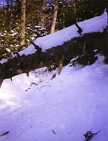
the night before. On the upper third of the trail, I had to crawl under a
few downed trees. The trail was nice though, and the trees looked pretty
in the snow.
|
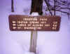
The
Crawford Path Trailhead. This sign normally stands at shoulder height, but
was now barely a foot above the snow. |
|

