|
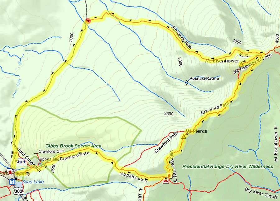
For this trip, I wanted to climb some of
the Presidentials, at least Mts Pierce and Eisenhower, and possibly
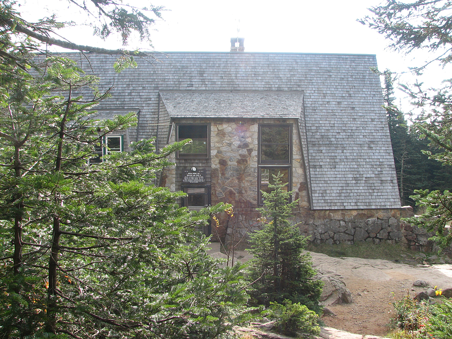
Monroe, but I also needed to pick up my trail maintenance tools from
Mizpah Spring Hut as they were going to close the hut for the season
in a few days. I don't like to leave my tools there over the winter,
and I sometimes use them around the house in the fall. In fact, they
were to prove particularly useful later that month when an early
snowstorm dropped nearly a foot of wet snow, breaking many large
branches and toppling trees that still had most of their leaves on
them. We also lost power for four days.
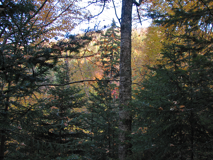
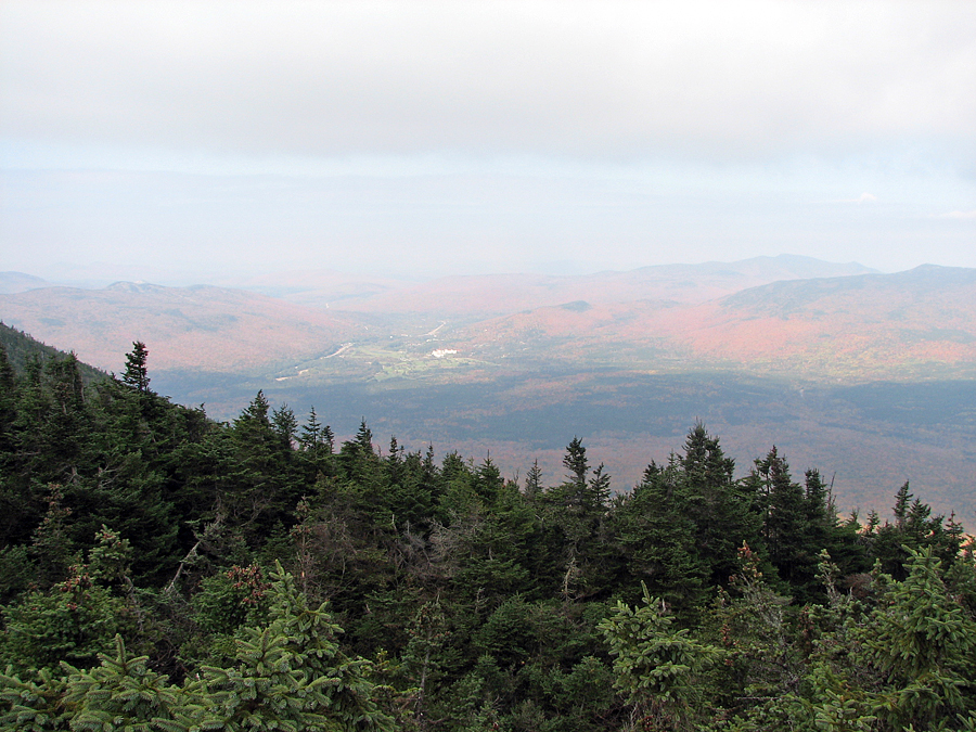
It was a nice fall day and the lowland
colors were pretty much at, or perhaps just a little past peak.
The temperature was nice too, not cold but not too warm,
although it was windy up above treeline. Mt Washington was
experiencing 70-80 mph winds.
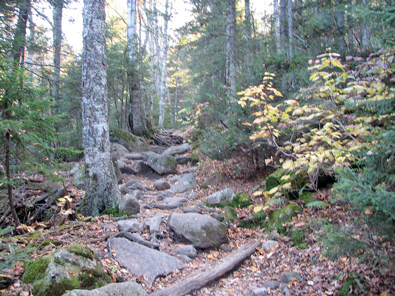
After stopping at the hut and retrieving
my tools, I refilled my water bottles and headed up the steep rocky
Webster Cliff Trail, which rises abruptly from Mizpah Hut to the
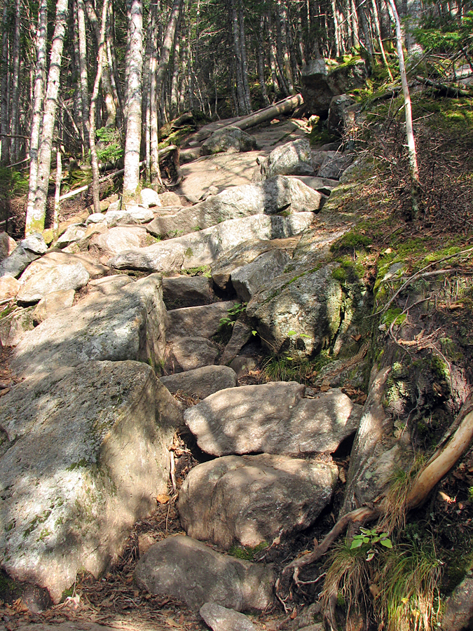
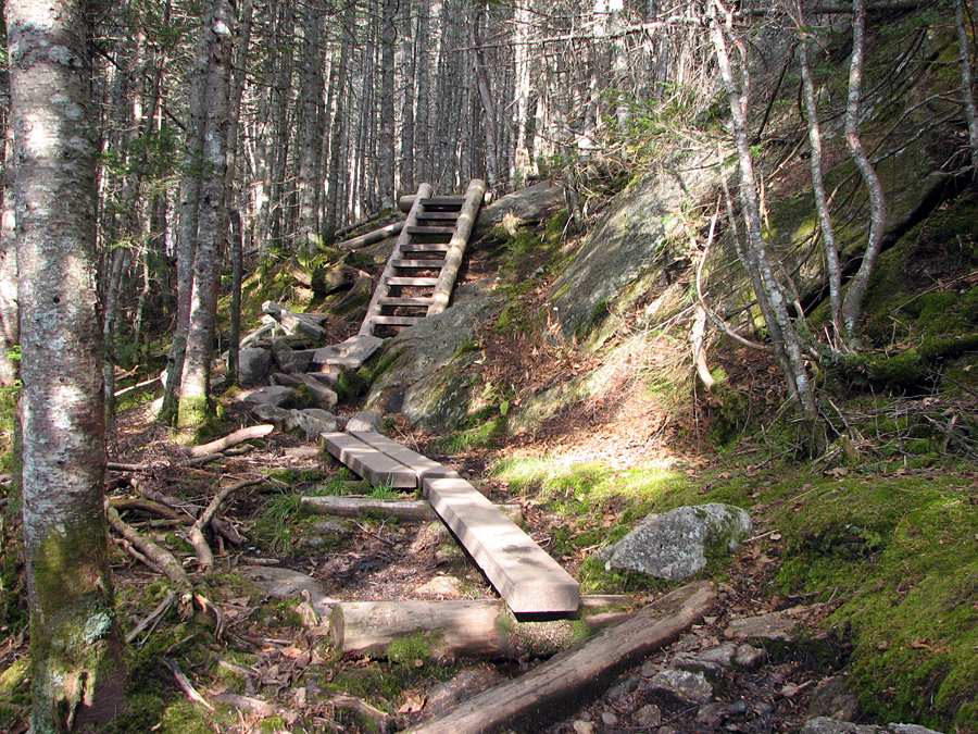
ridgeline. On the way up, I stopped a couple of times to take
pictures of the rockwork, ladders, and timber puncheons, and of
course, to catch my breath.
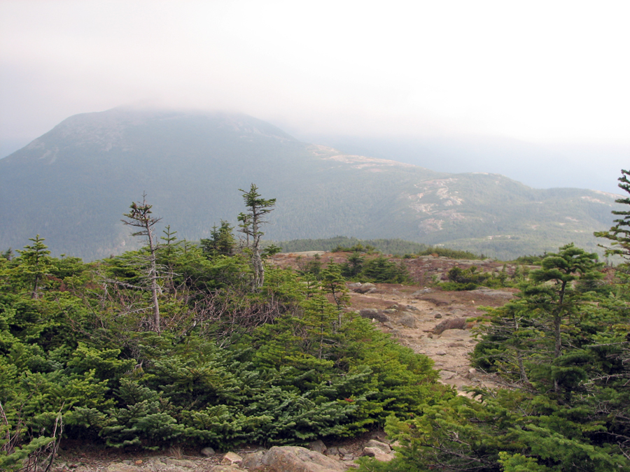
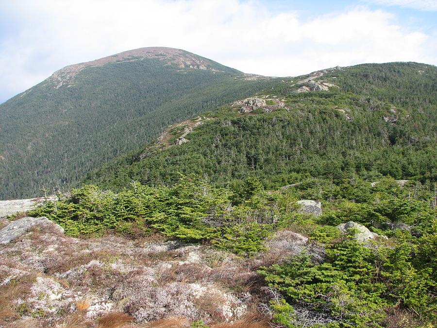
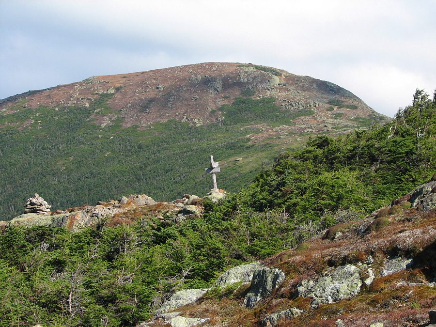
On top of Mt Pierce, the wind rattled
the fabric of my jacket as I zipped it up tightly. Clouds were
blowing across the higher peaks, and Mt Washington itself was
completely enshrouded. As I made my way up the Crawford Path toward
Mt Eisenhower along the ridgeline, I got some nice photos of the
fall colors down below, even though the views were a bit hazy.
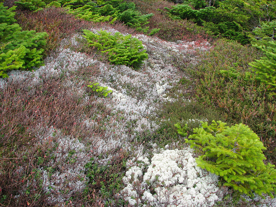
Autumn color had also come to the alpine zone, but were more subdued
than at the lower elevations. The shores of tiny Red Pond at the
foot of Mt Eisenhower were blanketed in shades of brown and gold.
I had thought the wind to be strong atop
Mt Pierce, and had experienced some serious gusts in exposed areas
of the ridgeline, but the col between Mts Eisenhower and Franklin,
fueled by the ravine cut by Mt Pleasant Brook, was a veritable wind
tunnel. After removing my pack and leaving it in the scrub by Red
Pond, I started to climb the Mt Eisenhower Loop. At first, there
were numerous sheltered areas as the trail wound upward through the
scrub and large rock outcrops, but after the trail straightened out,
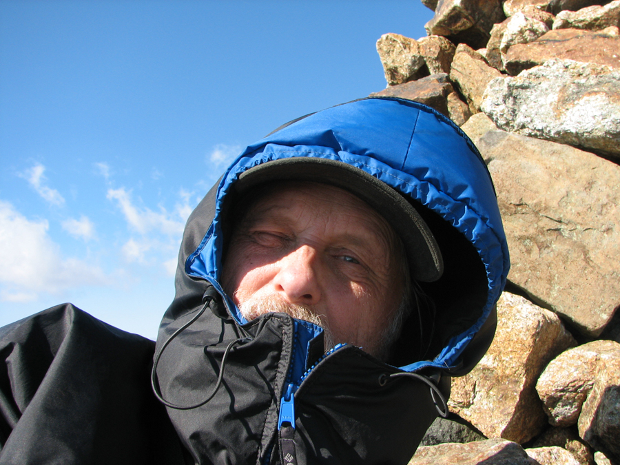
the full force of the blast was upon me. During the fiercest gusts,
I was barely able to stand, and crouched or kneeled against the
scree walls for stability. The wind battered the hood of my jacket
so fiercely, flapping and vibrating it against my ears, that the
roar nearly obliterated the feeble sounds that came out of my mouth
in defiance.
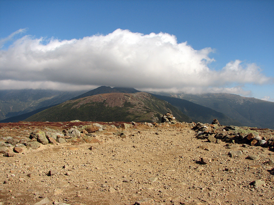
At the top, I quickly dashed for the lee
of the large summit cairn, which at least provided a modicum of
protection from the blasts. Sitting down and leaning against the
cairn, I was able to take some nice shots of the ridge to the north,
although Washington itself was still encased in clouds. Needless to
say, I did not stay up there very long, but soon began making my way
down again, leaning heavily against my poles to keep from being
blown off the trail or pitching forward onto my face, again
crouching when necessary. I breathed a sigh of relief when I finally
reached the shelter of the scrub, but it wasn't until I had donned
my pack and descended back below treeline that I was able to remove
my hood and relax my step.
I had hoped to find a ride from the
Edmunds Path trailhead back to the Highland Center, but there were
only a couple of cars grinding their way down the graveled Mt
Clinton Road, neither of which appeared to belong to other hikers. I
didn't even bother trying to hitchhike, remembering my futile
attempts to get a ride from the Dry River Trailhead to the Highland
Center back in 2001, even while carrying a dog with an injured paw. |
Fall color
along Gibbs Brook along the lower portion of the Crawford Path.. |
 |