|
The section of the Twinway between Mt
Zealand and Mt Guyot was quite pleasant, and not particularly
demanding. I passed a number of hikers who were going the other way,
many of them families who were coming from Galehead Hut and on their
way to Zealand to spend the night there.
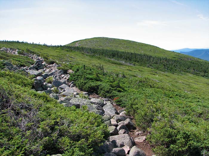
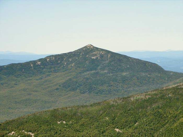
Before long, I climbed up a moderately
steep stretch, breaking out into the open above treeline on Mt
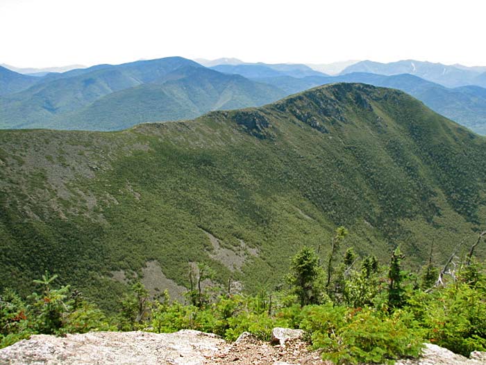
Guyot's north summit. Mt Guyot is a very broad, open, and
boulder-strewn mountain with twin gently-rounded summits. While
not an official 4000-footer because it doesn't rise high enough
above its adjacent cols, it is one of the wildest and most
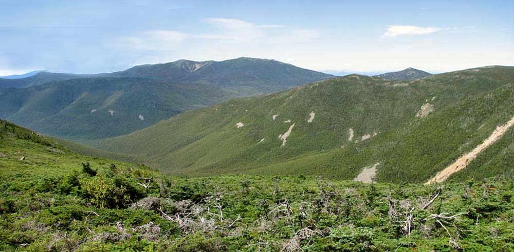
beautiful spots in the White Mountains. It commands a sweeping
view of the western half of the Pemigewasset Wilderness, including
Franconia Ridge, Mt Garfield, and Owl's Head.
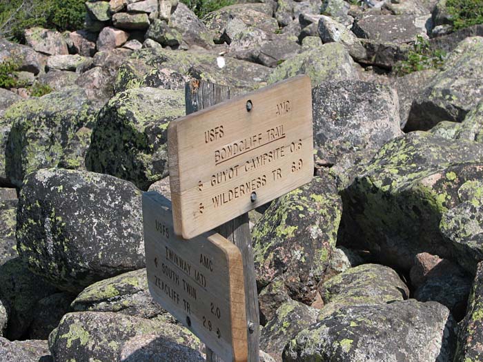
At the junction with the the Bondcliff
Trail, I turned south off the Twinway to begin my long traverse of
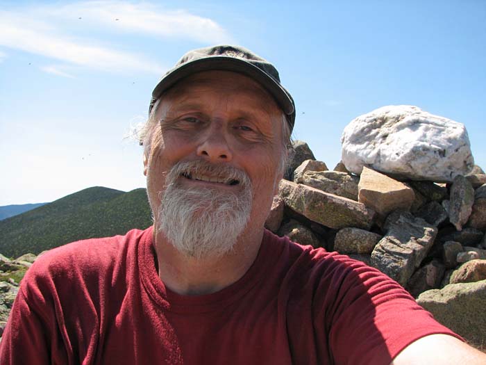
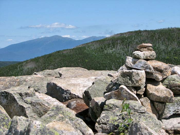
the three peaks of the Bonds, first climbing over Mt Guyot's south
summit, where I stopped for a short rest by the summit cairn. I
thought back to the last time I had passed this way, back in the
summer of 1999. It was drizzling lightly and was extremely foggy,
and Muffin and I were headed to Galehead Hut after spending the
night at Guyot Campsite.
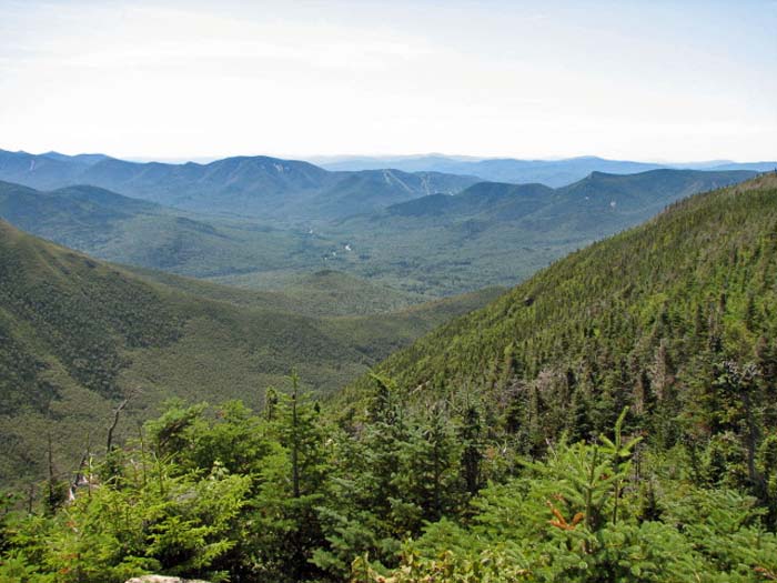
The Bondcliff Trail dropped down
significantly after leaving Mt Guyot, soon passing into the woods
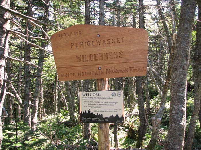
and crossing the northern boundary of the Pemigewasset Wilderness.
Not long after, I passed the junction with the spur trail to Guyot
Campsite, and continued on to the West Bond Spur. West Bond is
about about a half mile west of the main ridgeline. The spur trail
descended into a shallow col,
and then climbed steeply up to the small rocky summit of West
Bond.
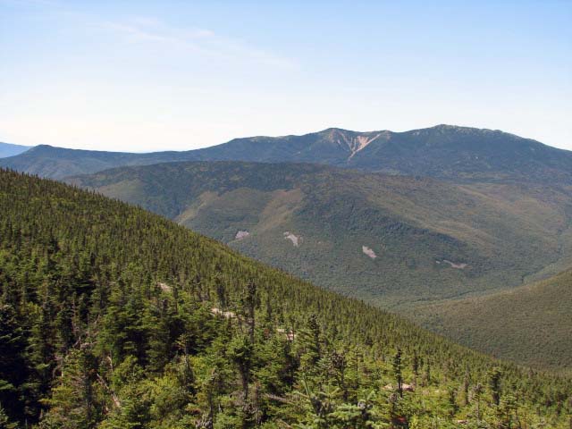
West Bond is one my favorite peaks in
the White Mountains. It has a very isolated sharply-peaked summit
with 360 degree views and steep dropoffs off on most sides. It's a
good place to feel like you've really accomplished something
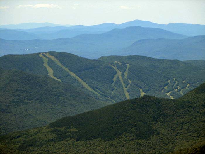
because it seems like you're perched on the top of the world. The
Loon Mountain ski slopes are the only visible signs of
civilization, and even that seems small and insignificant next to
the surrounding expanse of forest and mountaintops. As isolated as
Mt Guyot seems, West Bond is more so. On Guyot, the slope is
gentle and you feel grounded. On West Bond, you are in the air,
with a true eagle's-eye view of the world. |
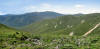
Panorama looking west
from Mt Guyot. The peaks to the right are the Twins,
Franconia Ridge lies in the distance, the pointy top of Garfield is
visible behind the Twins, and Owl's Head is the broad massif to
the left. |
 |