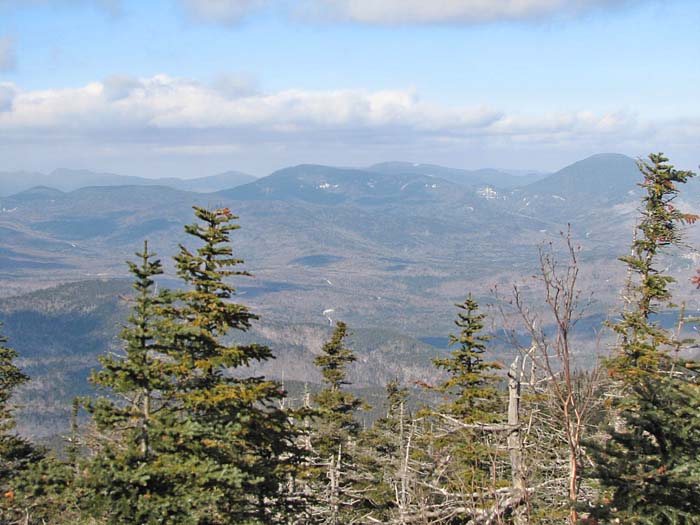
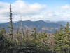
Views to the north and northwest were
excellent. The nearby Tripyramids were particularly prominent, and a
portion of the Waterville Valley ski slopes was just visible behind them.
Directly to the north, solitary Mt Carrigain stood watch over the eastern
Pemigewasset Wilderness, with the sprawling Hancocks rising to its left.
Further away, I could even see more distant Mts Lincoln, Lafayette, and
Garfield.
It was starting to get a bit colder, and as I
was mostly standing still and no longer generating heat by climbing, I put
on my hat (a Head Sok) to keep warm.
I really should just get a standard balaclava. The Head Sok, which is
(or used to be) sold in mall kiosks, keeps your head warm enough, and
pulls over your mouth and nose when it's really cold, but the cords that
tighten it are annoying and don't seem particularly useful.
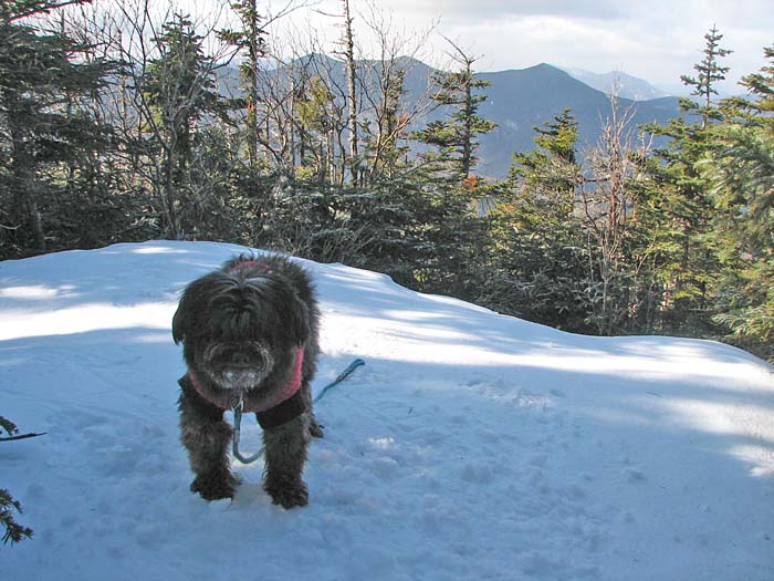
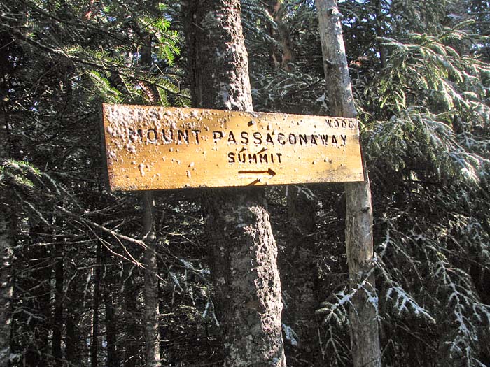
A
fter enjoying the views, we headed up to
the true summit of Mt Passaconaway, just a short distance up a nearby spur
trail. A sign points the way to this wooded and completely viewless
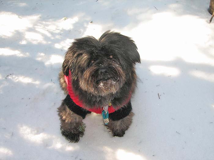
summit. I took Muffin's picture while she sat there in the snow looking up
at me. With no recognizable landmarks (she could just as well
have
been at the North Pole), the photo isn't particularly relevant, but I
took it anyway.
On the way back down, the Wonalancet River was
still running high, and we had to make the crossing on the infamous fallen
log once again. I searched a bit further downstream this time, but just
couldn't find anything better.
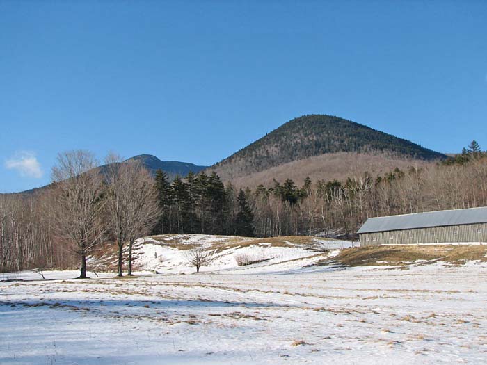
The rest of the descent went quickly, and we
were soon approaching Ferncroft Road and the parking lot. Before going to
the car, I stopped just long enough to take a picture of Mt Wonalancet and
Mt Whiteface in back of the field. This was peak number 47 for Muffin, and
there was only one more, Mt Waumbek, left. |
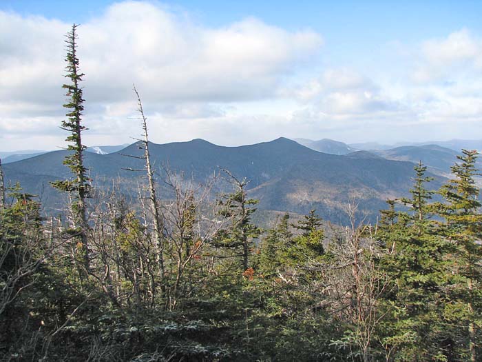
The Tripyramids.
Between South Tripyramid (the leftmost of the trio) and the tallest
tree in the foreground, the white lines of the Waterville Valley ski
slopes are just visible. |
 |