|
Thrilled to be across the river dry and
without having an accident, we stopped for a well-deserved rest and snack.
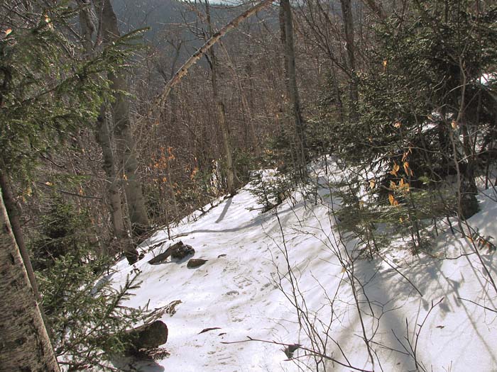
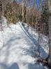
We then continued up the trail, which now began to climb more steadily,
angling up the side of the ridge. Partway up, I decided to stop and put on
my snowshoes because I was starting to slip a bit on the steeper terrain.
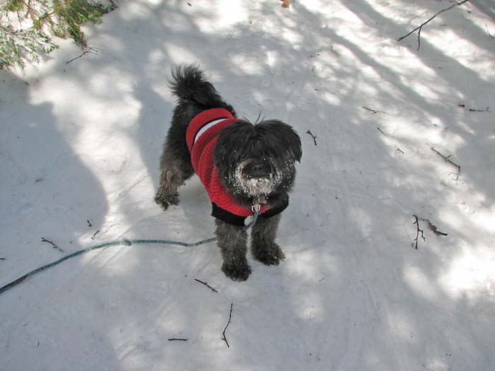
As usual, Muffin saw no purpose in stopping and was eager to move on.
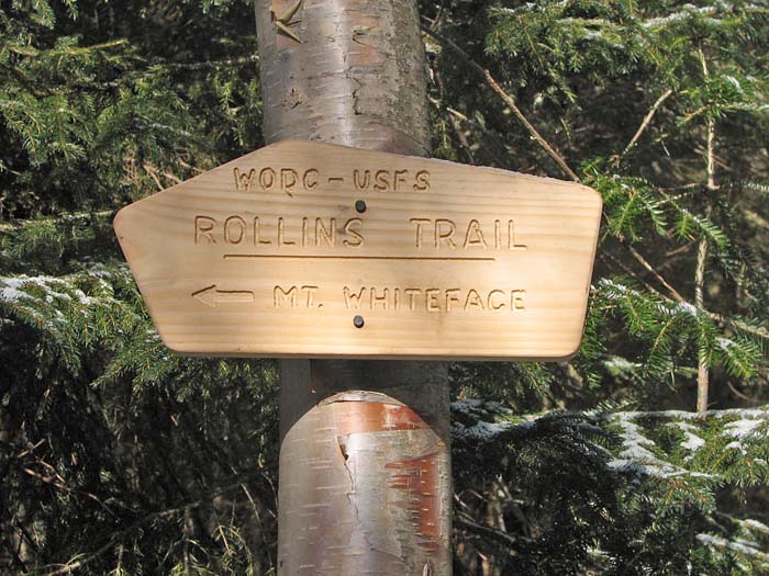
When we reached the junction with the Rollins
Trail, we took another break and had a little snack. Muffin doesn't mind
stopping so much if she gets to eat. Considering the firm, and not
too deep snow conditions, the Rollins Trail was probably pretty hikable,
so anyone taking the loop over both Whiteface and Passaconaway would have
gotten off easy for a January hike.
A little further up the trail, we passed the
junction with the East Loop, which connects to the Walden Trail to ascend
the mountain from the other side. We then entered a pretty, open growth of
firs, and the sunlight filtering through their branches and reflecting off
the white surface of the snow was was green and cheerful. In this area, we
were close to the site of the former Camp Rich, which was located in a
clearing off the west side of the trail. I believe you're still allowed to
camp at the site even though they removed shelter a few years ago.
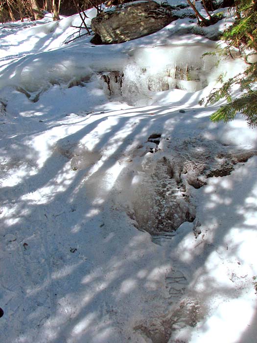
A little further up, the trail continued to
get steeper, switchbacking in wide arcs up the summit cone. In a couple of
spots, its surface was like a frozen waterfall, but the crampons on my
snowshoes gave me all the traction I needed.
After one final precipitous section, we
emerged suddenly onto the summit plateau at its north-facing viewpoint. |
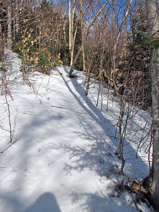
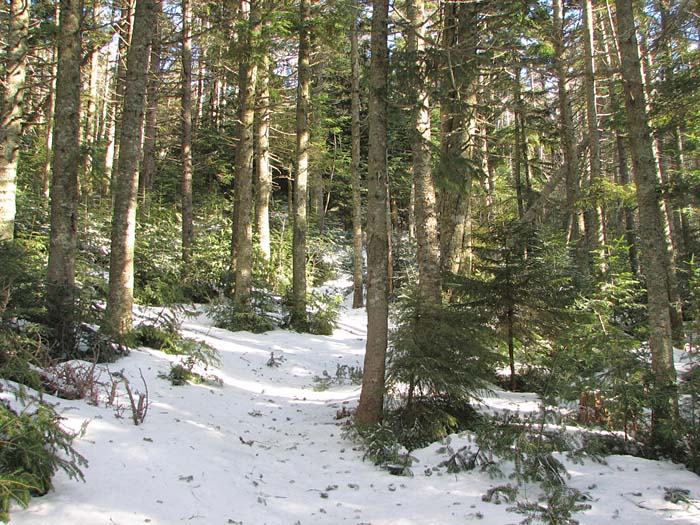
Looking up the
Dicey's Mill Trail. I took this photo about halfway between the
Wonalancet River crossing and the junction with the Rollins Trail. |
 |