|
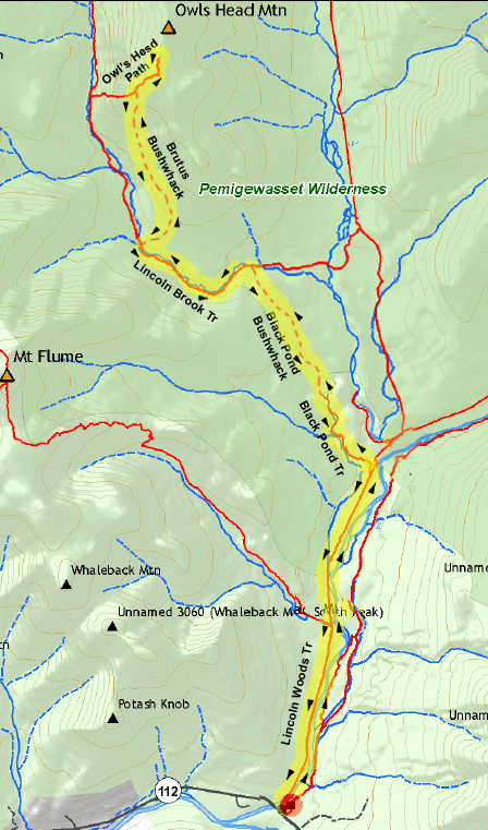
After our failure to summit Owl's Head via the Franconia Brook Tentsite back in August due to high water in the East Branch of the Pemigewasset River between the tentsite and the Lincoln Woods Trail, I gave up on that idea and decided to start the traditional way by crossing the suspension bridge from the visitor's center at the beginning of the Lincoln Woods Trail.
We set up camp at the National Forest's Hancock Campground which is almost directly across the Kancamagus Highway from the Lincoln Woods Visitor's Center.
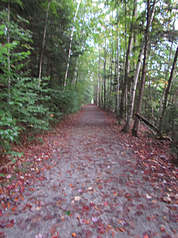
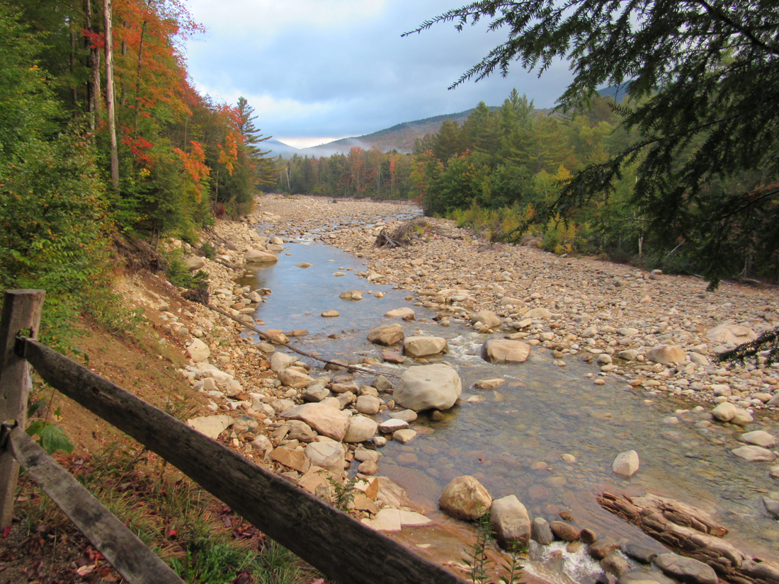
In the morning, we set off early, left our tent and the car behind and walked the short distance to the visitor's center and the start of the trail. As usual, this part of the hike was quick walking on the flat Lincoln Woods Trail. The weather was still a bit cloudy but it was supposed to be a mostly sunny day. We stopped briefly by a fence at an area that was washed out in 2011. The view up the Pemigewasset River toward the Hancocks was nice and very fall-like.
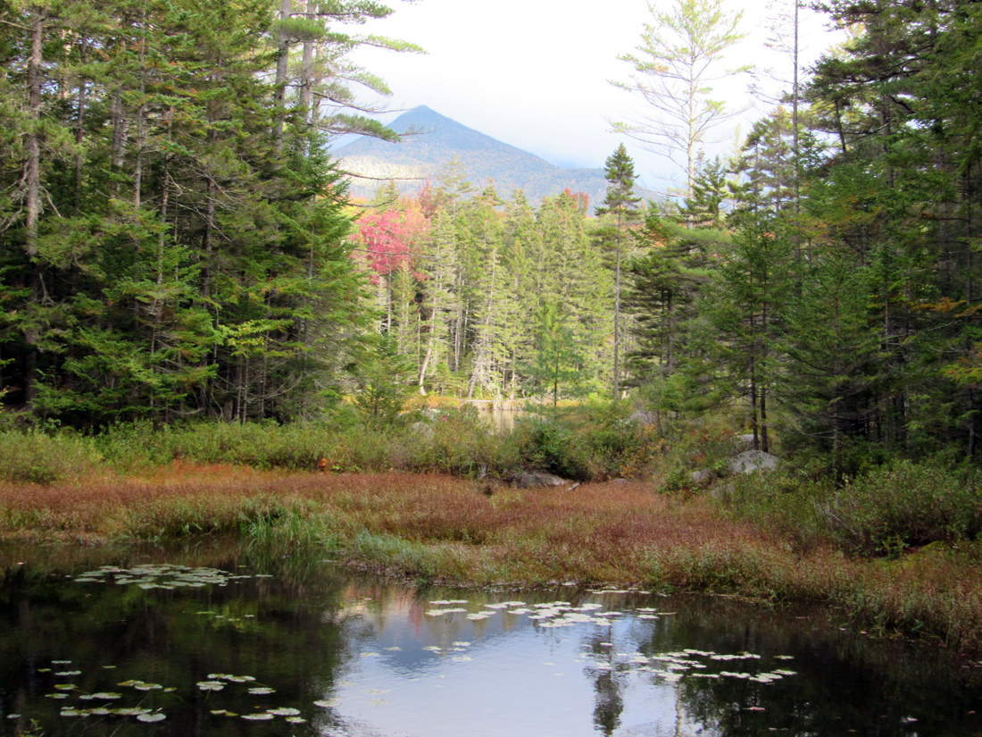
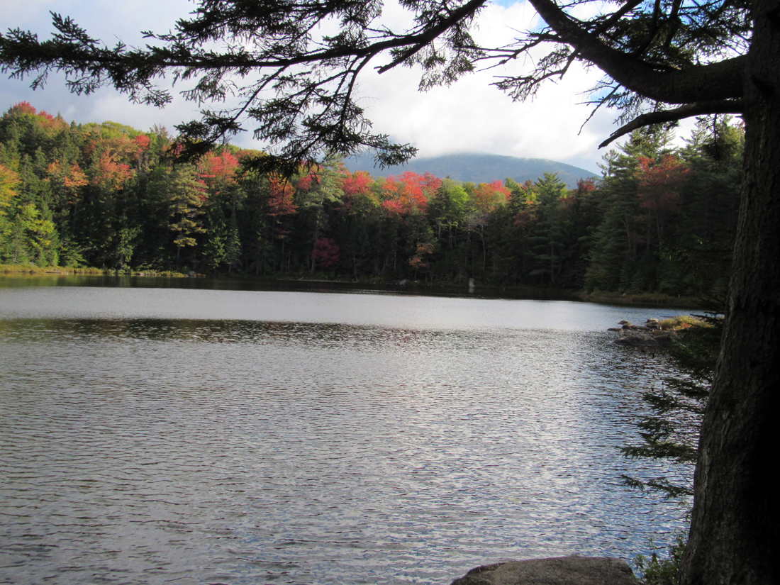
Beyond that point, we crossed the junction with the Osseo Trail to Mt Flume, and, after another easy hike, reached the Black Pond Trail, where we turned left to head for the pond. This trail was narrower and slightly rooty and rocky, but easy none-the-less. Near the southwest corner of the pond, there was a foggy view of Owl's Head. Further ahead, near the end of the Black Pond Trail, we got a much better view of the entire pond with its calm and peaceful water. We rested here for a short time while Patches ate her breakfast and I had a snack.
The real work began after leaving the pond behind and trying to follow the Black Pond Bushwhack to the Lincoln Brook Trail. I had read online that it was easy to follow, but there were too many false paths that meandered in the wrong direction, especially near the pond, so we wasted a lot of time doubling back to look again for the right way. Somebody had put small trail markers on some of the trees at irregular intervals, but they weren't consistent and were often misleading. At one point, I thought we were following the markers toward Lincoln Brook but we ended up looping back toward the pond again. I was using the Gaia trail app on my phone, which had a map of the bushwhack, but it wasn't easy to work with. The actual bushwhack never seemed on target with the route on the map, and the heavy woods often caused the GPS to lose its signal.
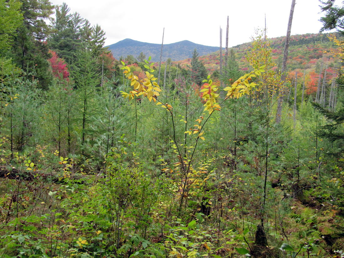
Eventually we made it to the Lincoln Brook Trail which was much easier to follow, even though it wasn't blazed due to wilderness regulations. With more freedom to hike without constantly looking for the right direction, we stopped a couple of times to take some pictures and have a snack.
Eventually we made it to the start of the Brutus Bushwhack, so named for the large Newfoundland dog who, with his human companion, made the first ascent of this route which avoids the steep slippery Owl's Head Slide. This bushwhack was slightly easier to follow, but it was very steep and rough in some sections. Encountering a couple of groups who were coming back down reinforced my hunch that we were on the right track.
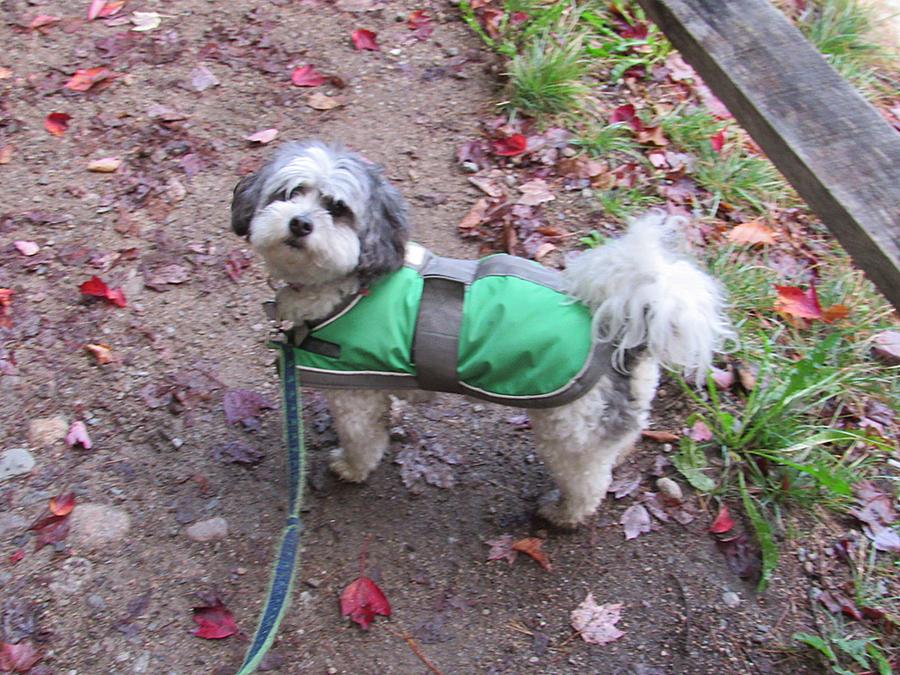
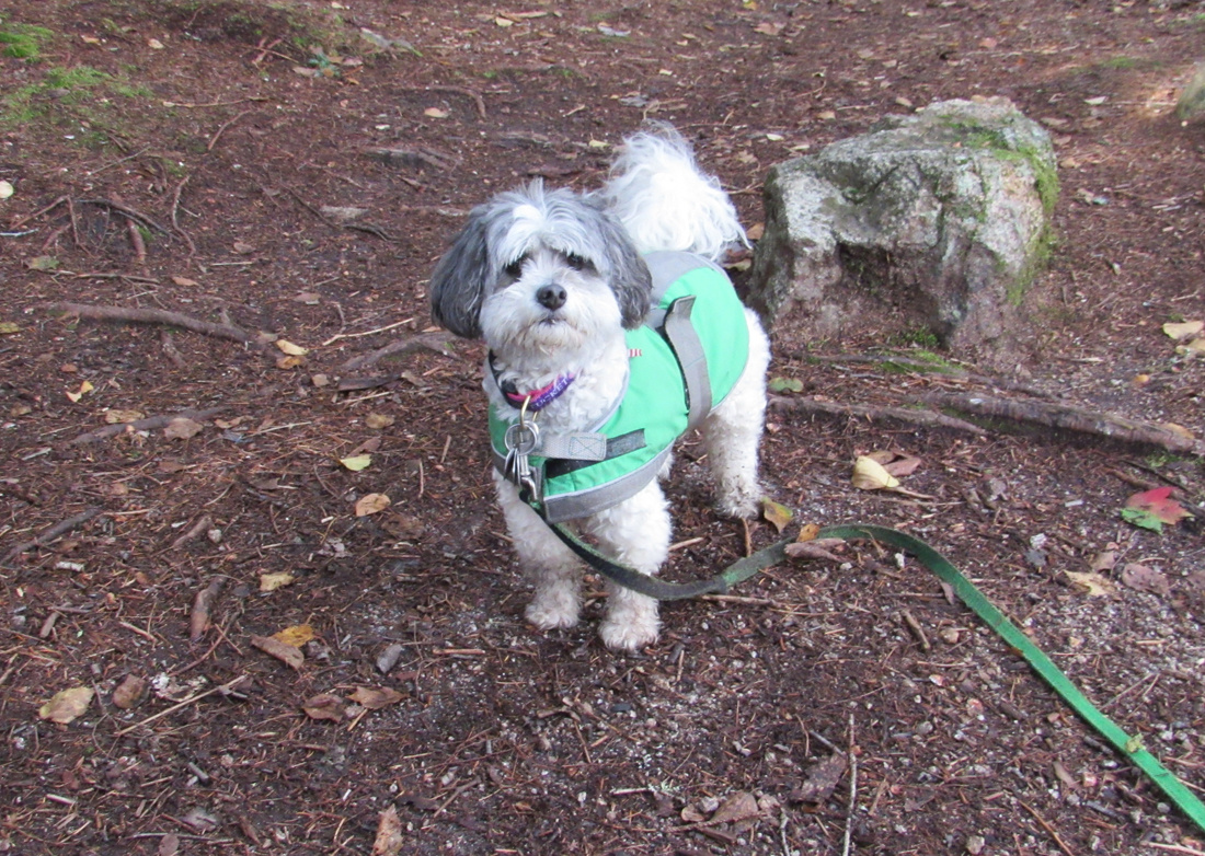
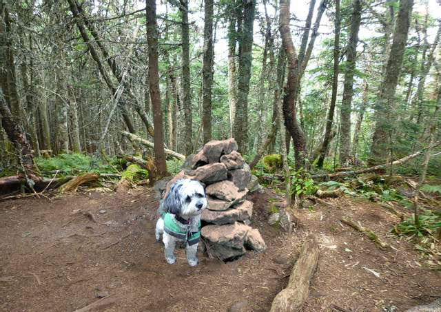
Tired from the long steep climb, we finally made it to the junction with the Owl's Head Path near the top of the slide. From there, the route was more obvious and we trudged on until we reached the summit cairn where I took a quick picture of Patches before we started back down. I was almost tempted to take the Owl's Head Path back down instead of the bushwhack but changed my mind after thinking about the slippery rocks and the longer hike back.
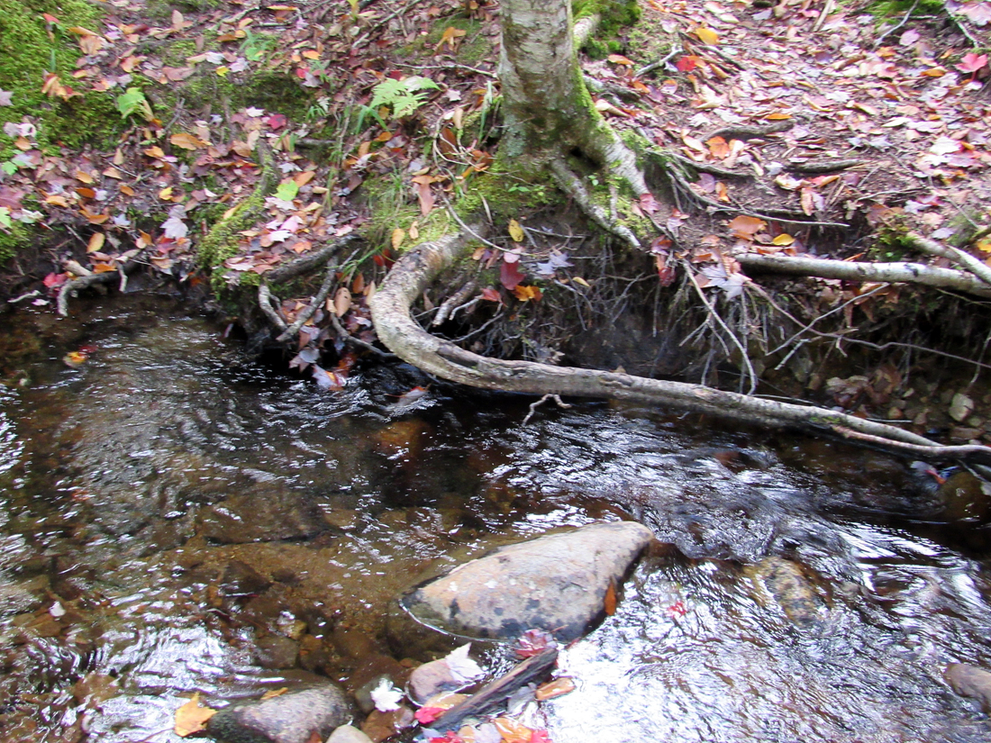
We pretty much retraced our steps back down, only stopping at one small brook crossing along the Lincoln Woods Trail where mountain goat Patches walked directly along the top of an overhanging tree root as if she were balancing on a tightrope. Unfortunately, it happened too quickly for me to take a picture of her actually walking on the root.
After a long tiresome walk back to our campsite, I immediately went to work taking down the tent and loading our things into the trunk and back seat of the car. Patches was extremely glad to lay down on my lap to rest as we drove off on our long trek home to Cape Cod, stopping only for some supper from McDonald's in Lincoln and then again at a rest area along Rt 6 near Hyannis to stretch our legs. This was Patches' 41st 4000-Footer with only seven more to go.
|