|
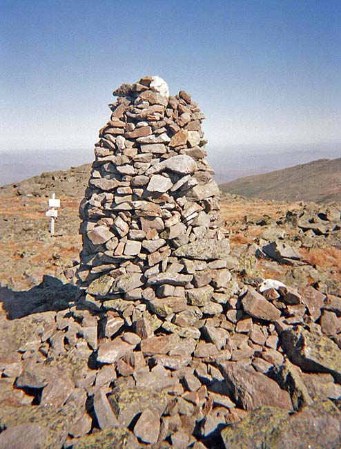
After descending from the true summit,
we stopped for a short rest in a level area by the huge
white-topped cairn at the junction of the Caps Ridge Trail and the
Mt Jefferson Loop. There were a couple of other hikers already
resting and snacking here, but they were all headed south toward
Mt Washington.
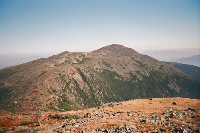
The views from this spot were superb
and gothically sublime. Far below, the massive expanse of the
horseshoe-shaped Great Gulf awaited like an immeasurable and
vengeful void, ever ready to engulf the surrounding peaks like so
many loose pebbles in the midst of a horrendous alpine tempest.
Glowering down at this cavernous spectre loomed the grim and
defiant forefathers of this Olympian realm – Washington,
Jefferson, Adams, and Madison. Proud and confident in their roles
as lofty lords of the craggy heights, these stone-faced icons
silently challenged the depths to defy them.
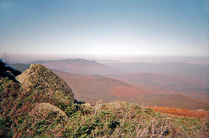
From here, we humbly descended the
boulder-strewn path toward the Gulfside Trail. Closely following
the very rim of the Great Gulf, this trail leads the alpine hiker
from Mt Washington north to Madison Spring Hut, often over a very
rough rocky path, but sometimes over smooth flat well-placed
stones.
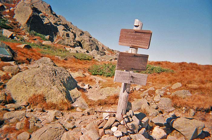
At Edmands Col, we
stopped for a short rest, enjoying the views and reflecting on how
it would be during the long stormy winter months. Edmands Col is
the low point between Mts Jefferson and Adams, and can be a very
cold, windy, and dangerous place in the winter, as there is no one
quick and easy escape route to shelter. There used to be a tiny
cramped aluminum emergency shelter here (which was actually more
like a box with a rounded top), but they removed it years ago
because people had been misusing it, treating it as a mountain
destination rather than a lifeline in a life-or-death situation.
There is a plaque on a boulder here that commemorates legendary
trail builder J Rayner Edmands.
We continued north from the col, and
the trail soon became steeper as it began to ascend the spreading
Adams massif. Along the way, we passed over the insignificant knob
of Adams 4, which apparently wasn't even worthy of a proper name
like its nearby brothers Sam and John Quincy.
Shortly before coming to Peabody
Spring, the Israel Ridge Path merges with
the Gulfside. The spring itself is right in the middle of the
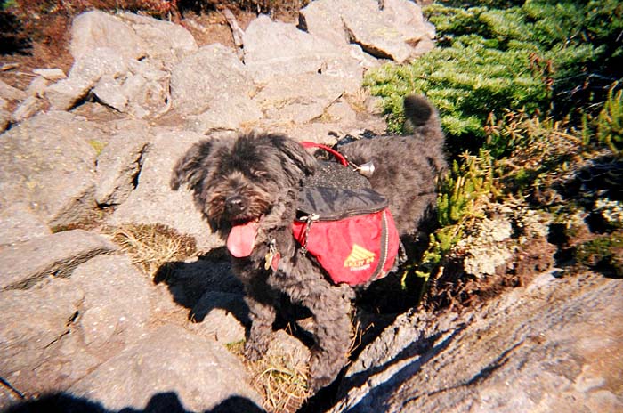
trail. We stopped to filter some water for our bottles. Muffin,
of course, drank directly from the spring. |
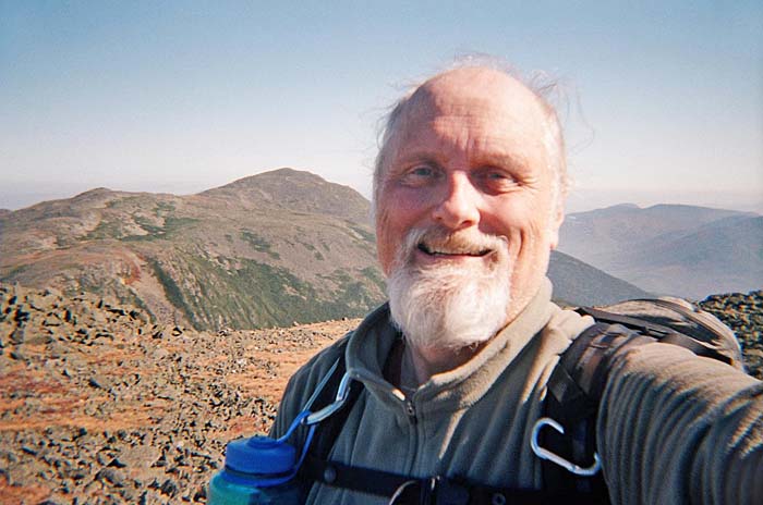
Self-portrait on Mt
Jefferson. This was taken just north of the large cairn. Mt Adams
is in the background. |
 |