|
This was to be an ambitious day's
undertaking. Muffin and I were hoping to climb three peaks,
ascending Mt Jefferson via the Caps Ridge Trail, then passing over
Mt Adams and Mt Madison, and finally taking either the Daniel Webster
Scout Trail or the Valley Way back down again, depending on the
time and weather.
After
driving 3 miles up the bumpy gravel surface of Jefferson Notch Road, I parked
the car at the Caps Ridge Trailhead and we started up the trail around
7:30 AM.
The trail
first
passed through a low
boggy area, crossing the wetter sections on bog bridges and
stepping stones. Soon, we climbed moderately, then gently
uphill through a mixed forest. After about a mile, we arrived at
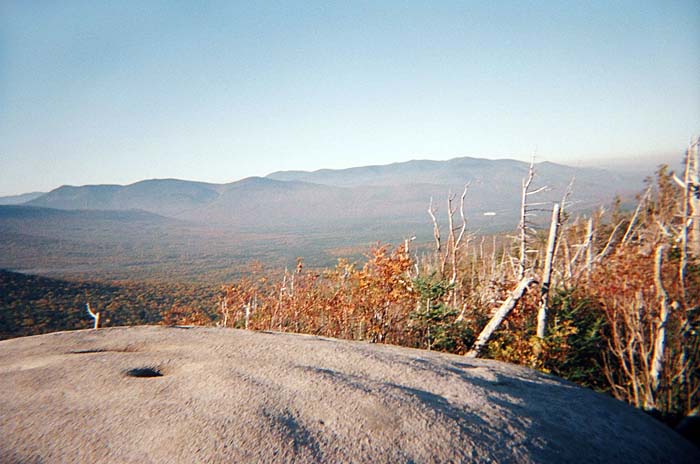
the ledgey outcrop with boulders that have large potholes in them.
These potholes were formed by rivers created
by the melting of the continental ice sheet. The views across
the ravine and up to Mt Jefferson were as clear as I've ever seen.
It was too bad that my digital camera was broken and I was stuck
using a disposable camera from CVS.
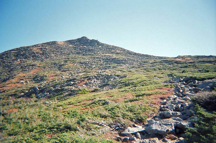
We soon reached the first Cap, which
began with a steep climb up a smooth slab. It would have been a
great place to wear my rock climbing shoes. I had to help Muffin a
couple of times up this section. In
the area of the Caps, the trail wound up, around, through, and
down openings through the rocks, twisting and turning its way up
the ridge. After descending slightly from the third and last Cap,
the trail followed a line of rocks through a relatively level area
which is probably the northern edge of Monticello Lawn.
At the intersection with the Cornice,
a trail which circumnavigates the summit cone, the Caps Ridge
Trail turned sharply left and began ascending moderately over
large boulders toward the top of Mt Jefferson. The last time I was
on this trail, it was very foggy and very windy, with lots of rime
ice, limited visibility, and penetrating damp cold. This was a
vast improvement, and it was nice having Muffin for company too.
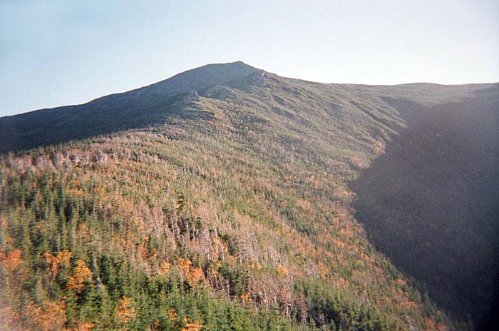
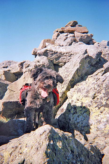
The summit itself comes
as somewhat of a surprise, as it appears to be another false
summit until you're right on it, looking down the other side
toward the Great Gulf and the rest of the Northern Presidentials.
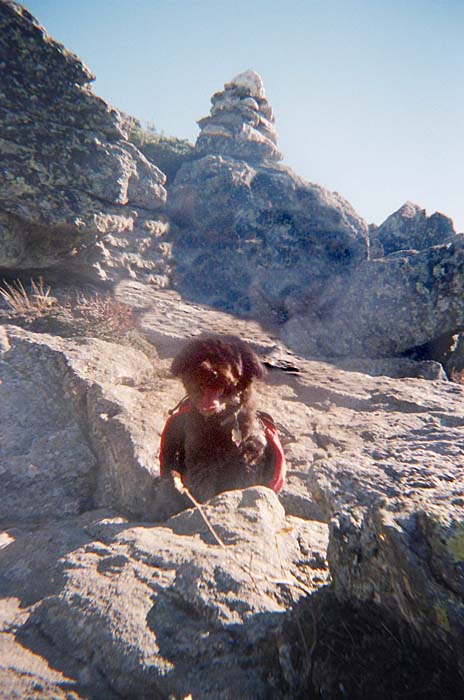
I took a quick picture of Muffin, and then we descended the short
distance to the large cairn at the junction of the Mt Jefferson
Loop. |